ALTA Projects


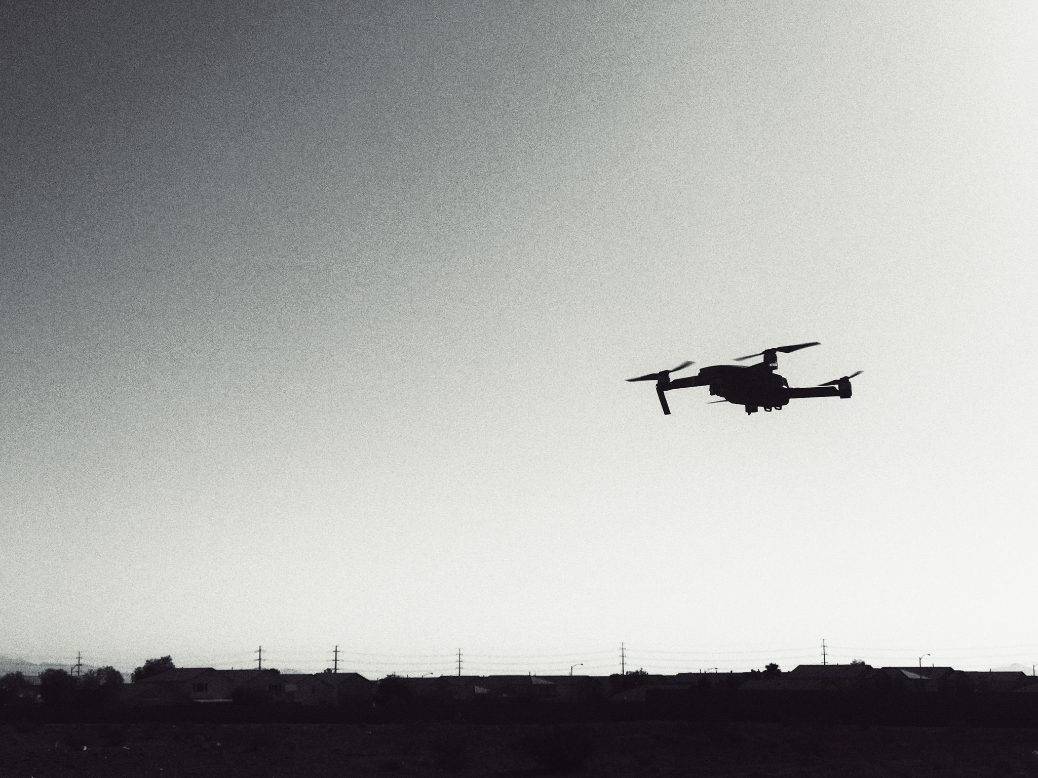
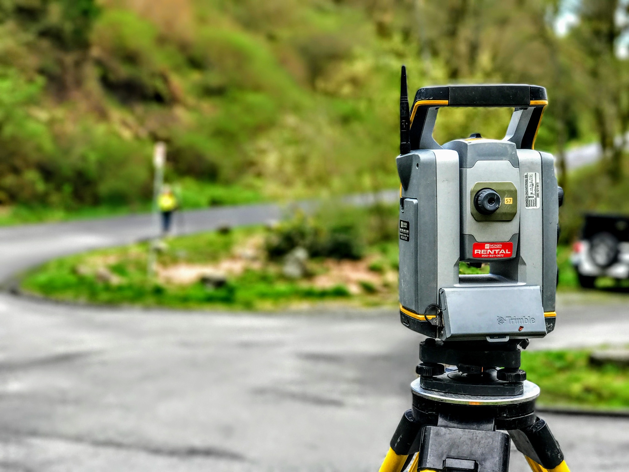
Project: Kyle Canyon ALTA
Location: Las Vegas, NV
Completed: 2023
Performed an ALTA survey where our surveyors conducted detailed research on the property, reviewing land records, plats, and legal descriptions. Fieldwork includes precise measurements, locating property corners, and identifying visible improvements.
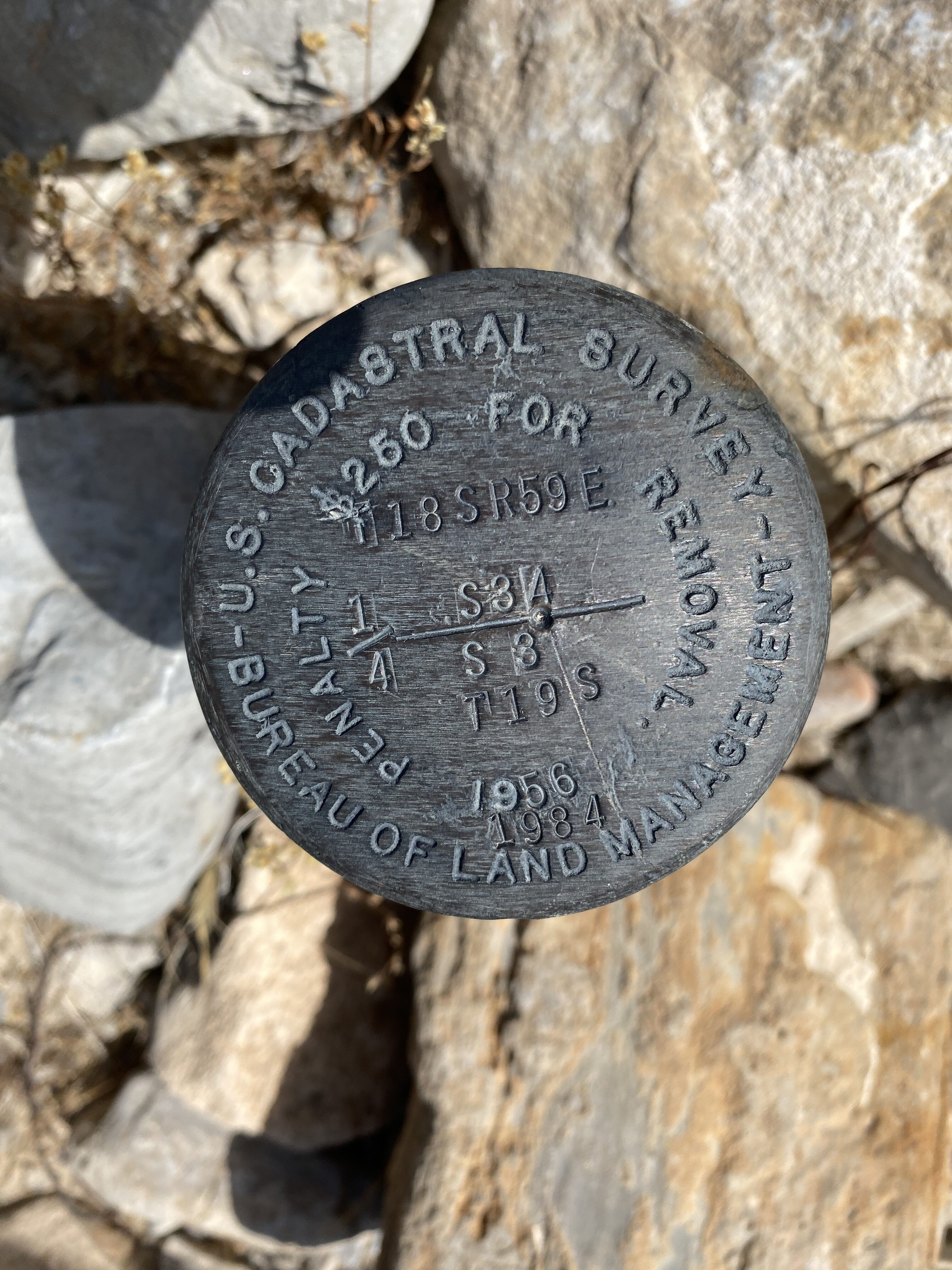
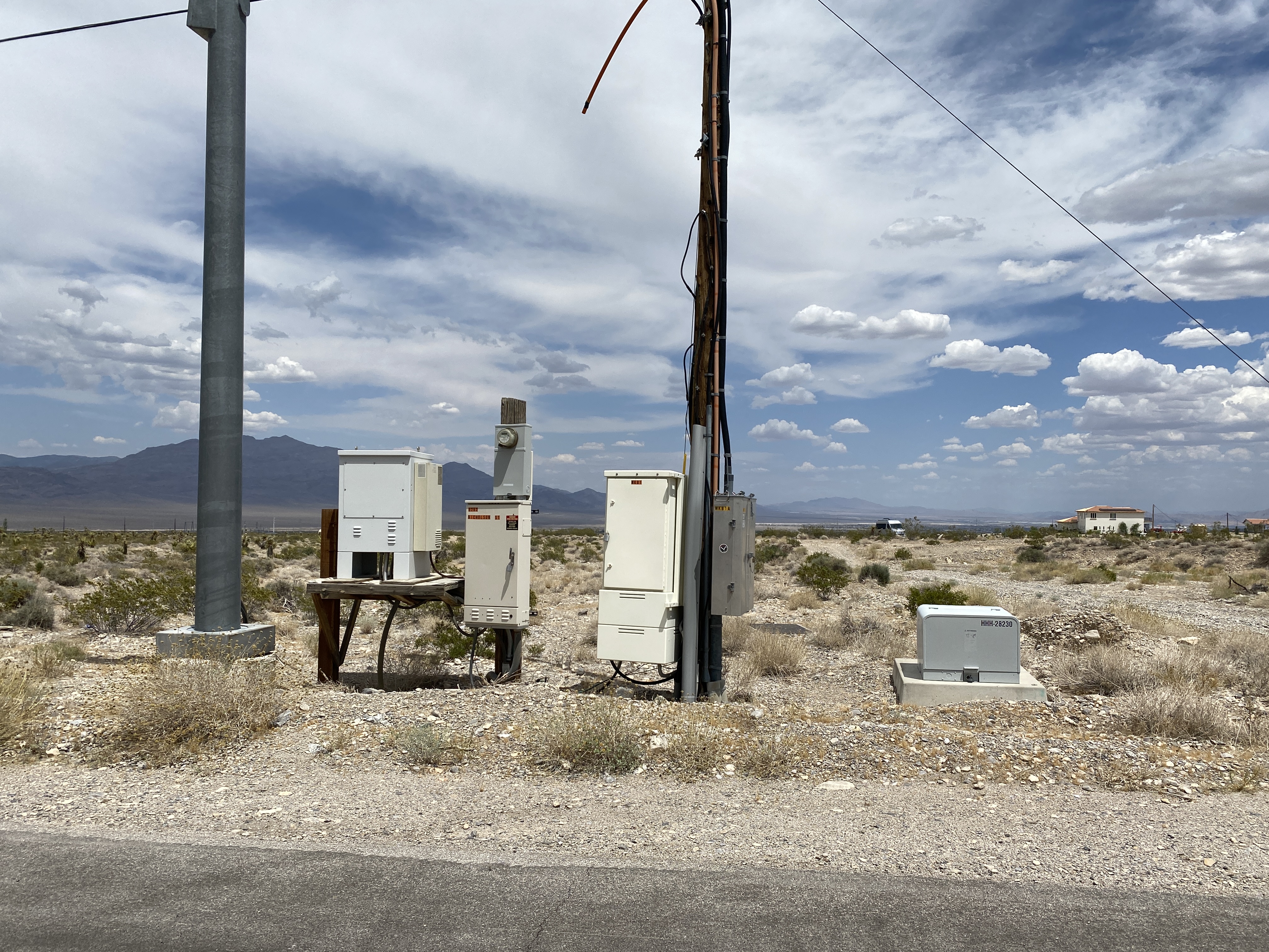
Project: Staybridge Suites
Location: Las Vegas, NV
Completed: 2023
Performed an ALTA survey where our surveyors conducted detailed research on the property, reviewing land records, plats, and legal descriptions. Fieldwork includes precise measurements, locating property corners, and identifying visible improvements. Also, our team created a boundary base drawing and a Record of the Survey and recorded it in the office of the Clark County Recorder.
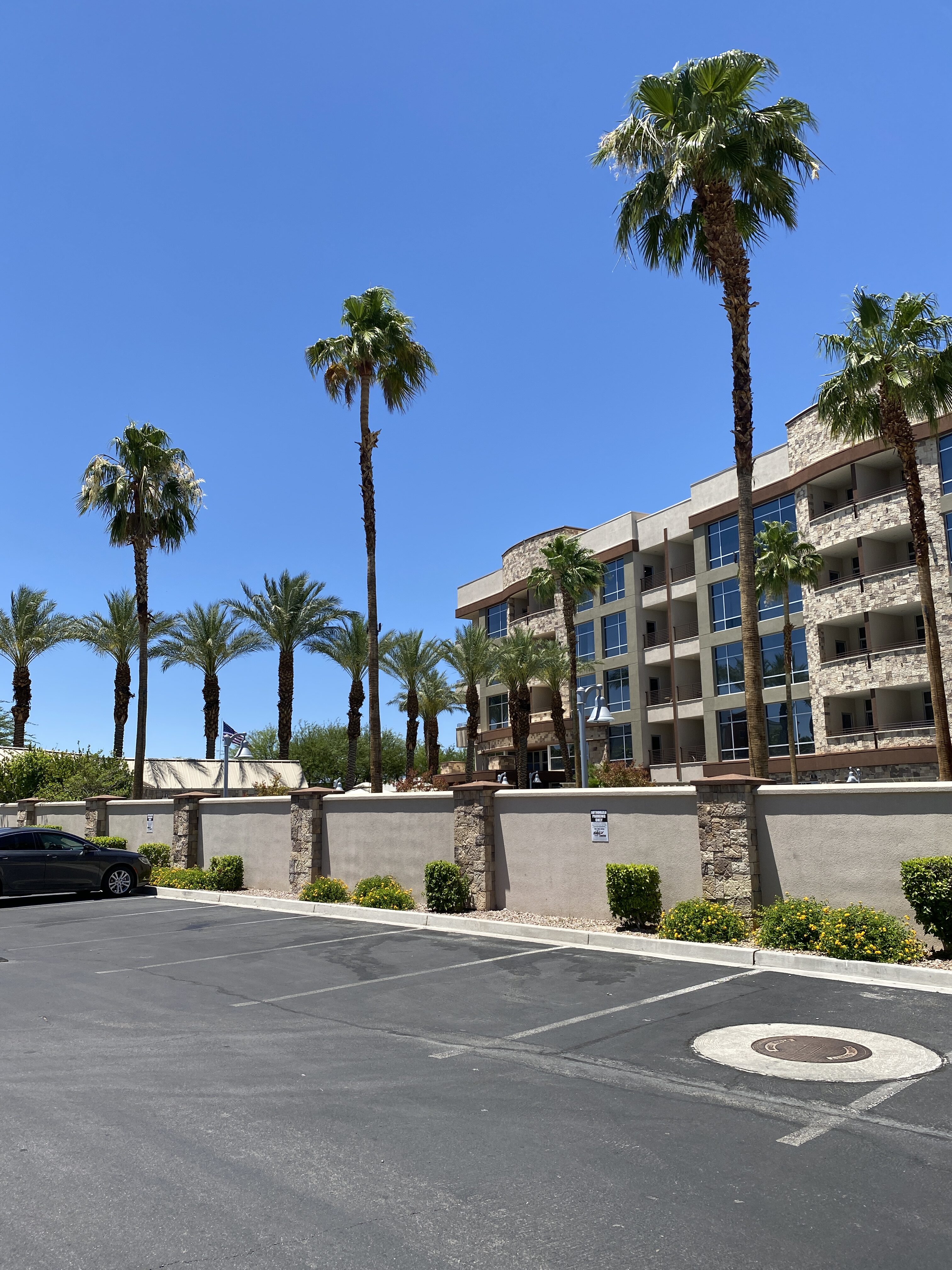
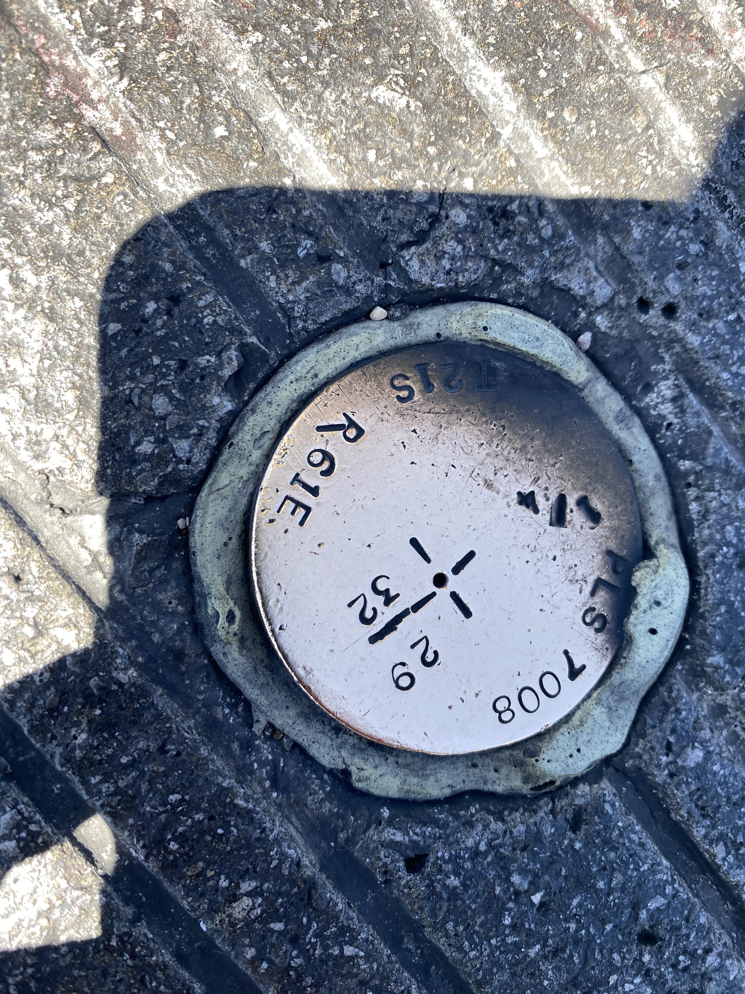
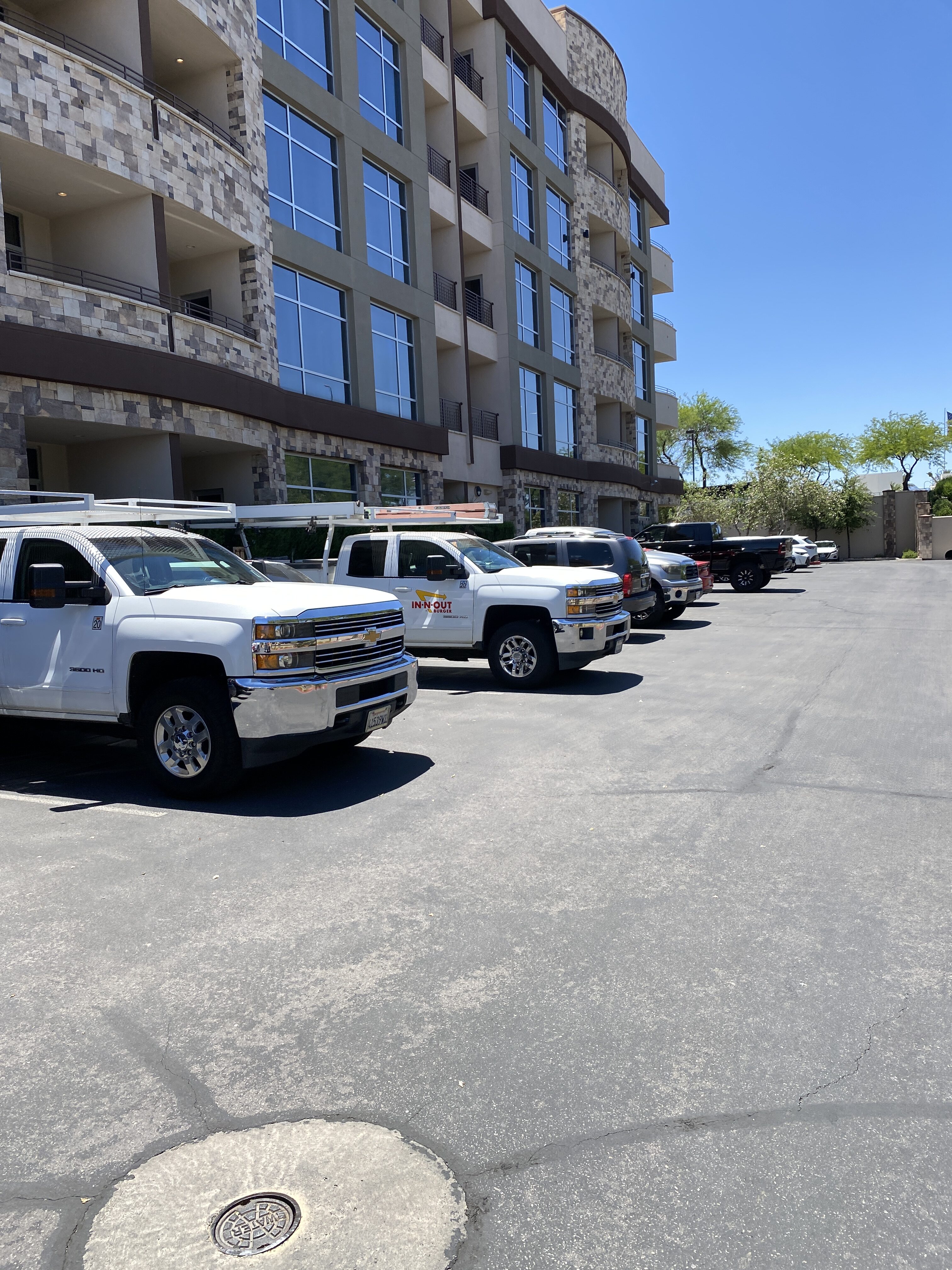
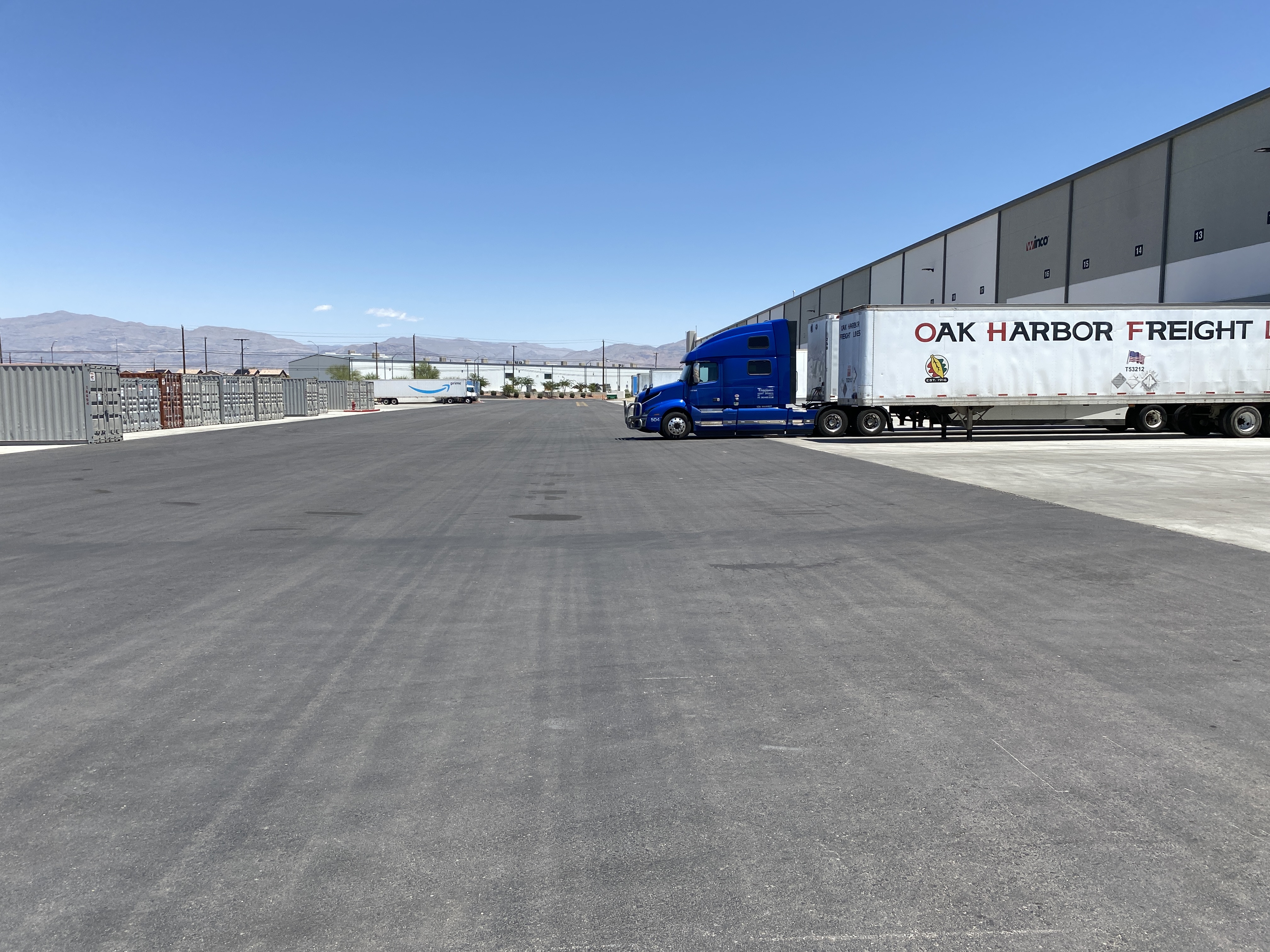
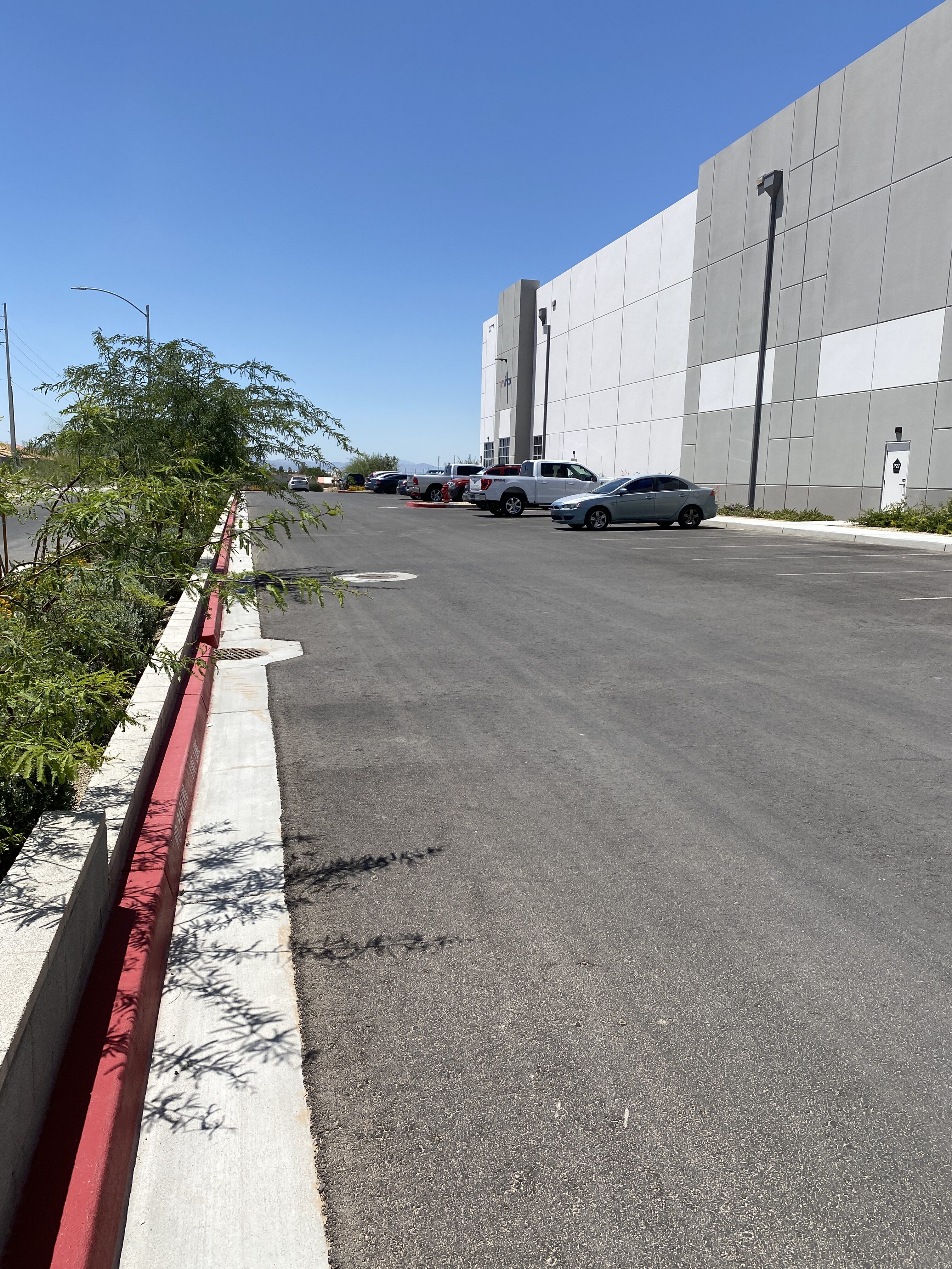
Project: 3777 Marion Drive
Location: Las Vegas, NV
Completed: 2023
Performed an ALTA survey where our surveyors conducted detailed research on the property, reviewing land records, plats, and legal descriptions. Fieldwork includes precise measurements, locating property corners, and identifying visible improvements. Also, our team created a boundary base drawing and a Record of the Survey and recorded it in the office of the Clark County Recorder.
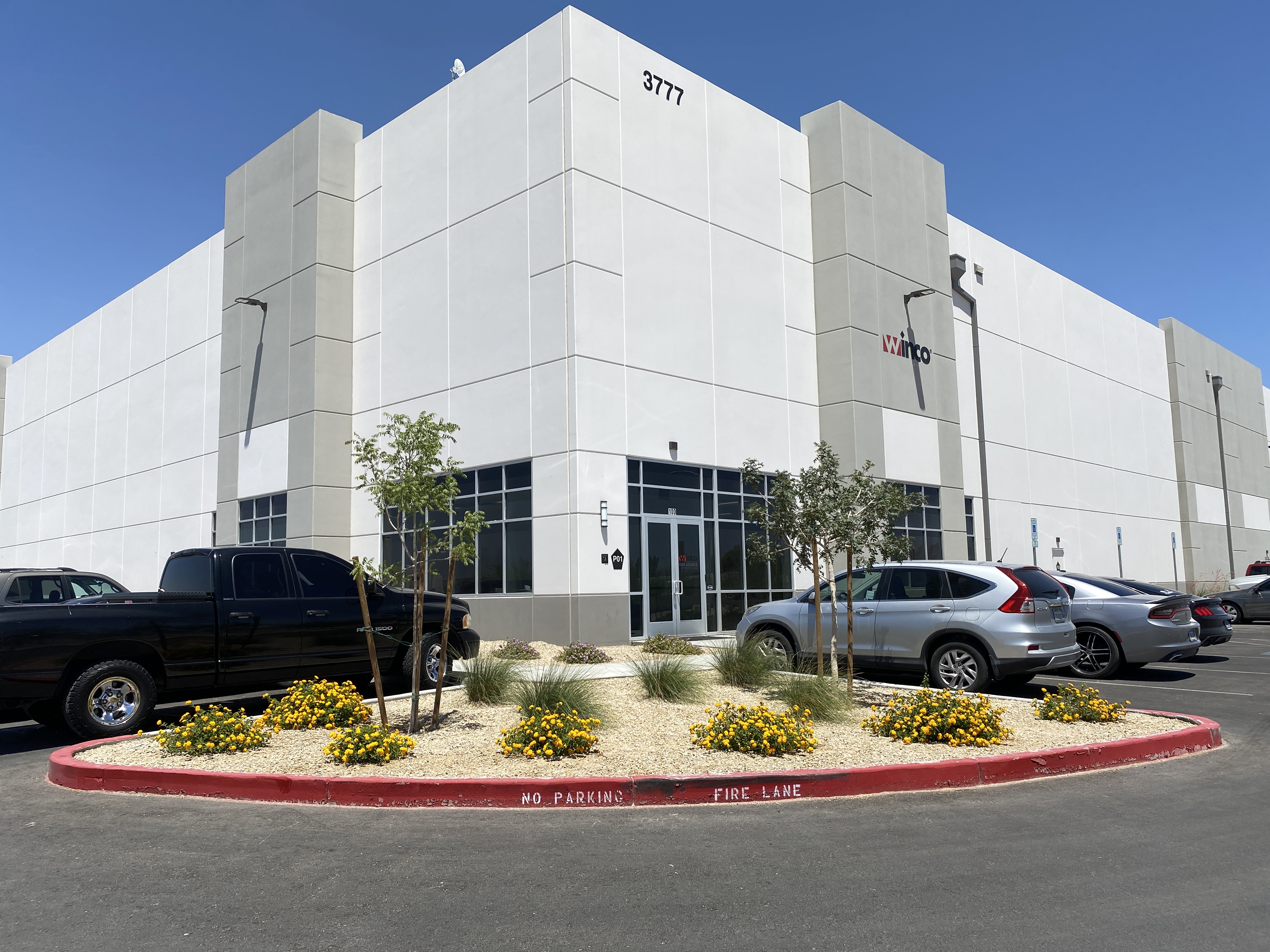
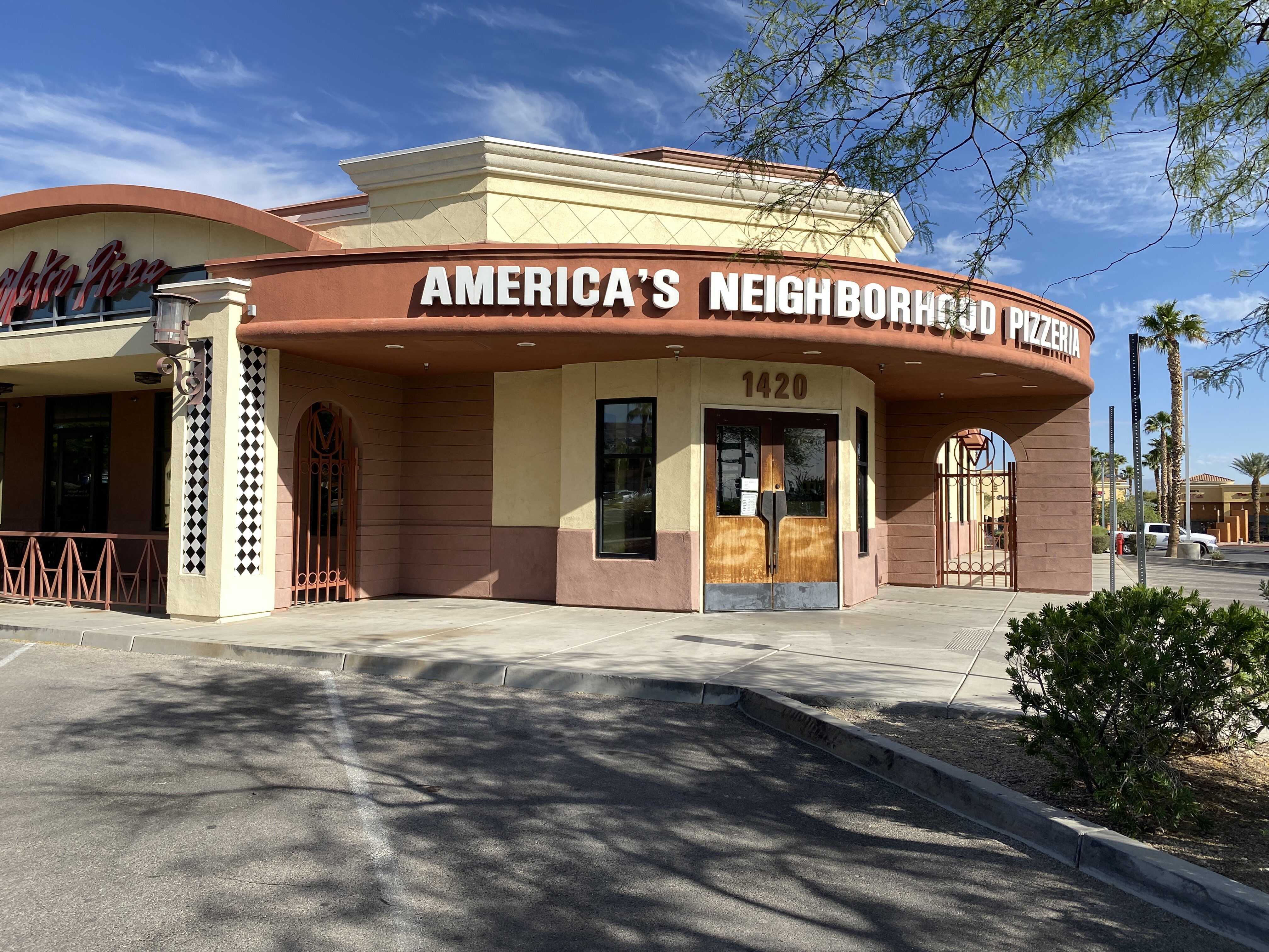
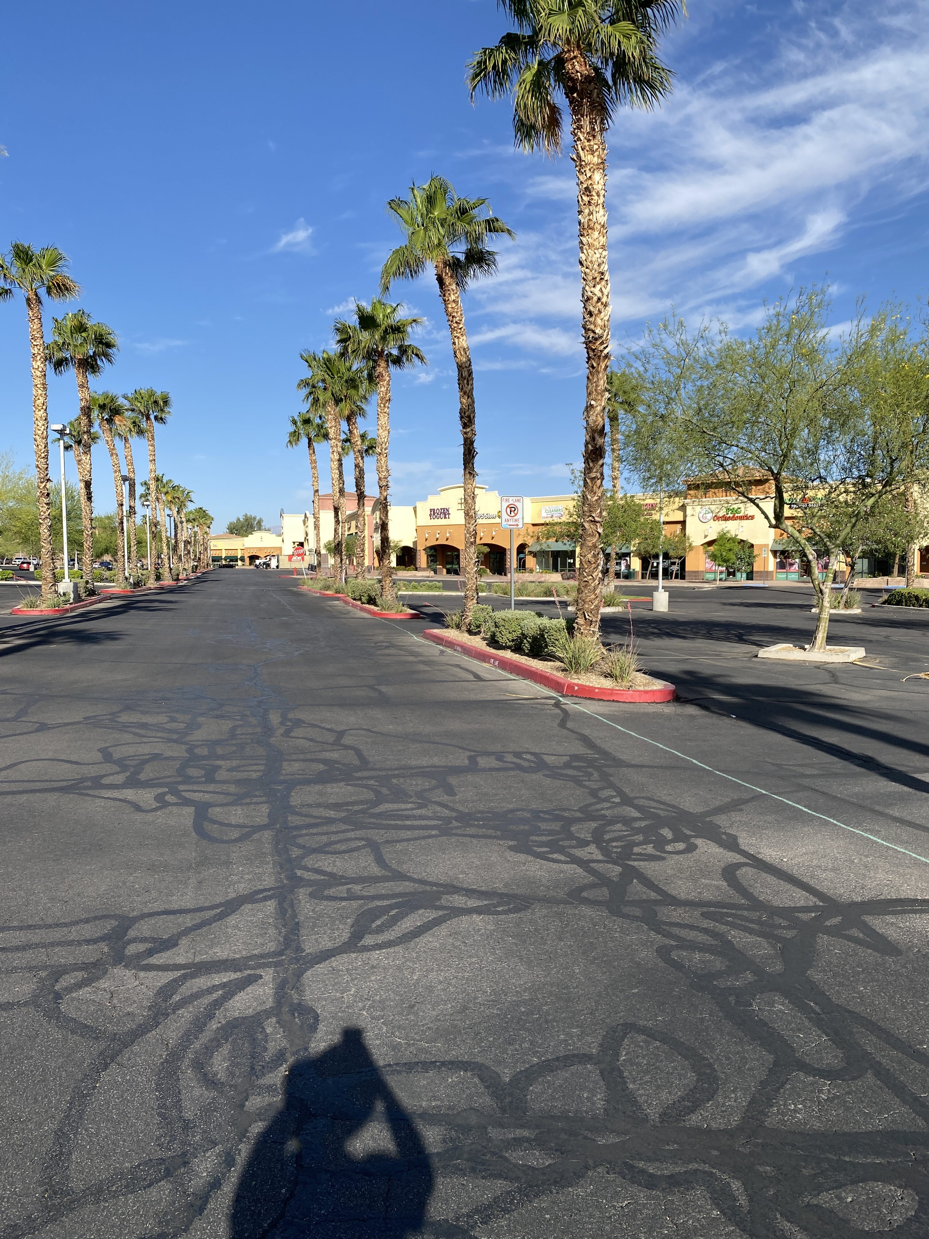
Project: 1414 W Horizon Ridge Pkwy
Location: Henderson, NV
Completed: 2023
Performed an ALTA survey where our surveyors conducted detailed research on the property, reviewing land records, plats, and legal descriptions. Fieldwork includes precise measurements, locating property corners, and identifying visible improvements. Also, conduct line locates using specialized equipment to detect the underground utilities.
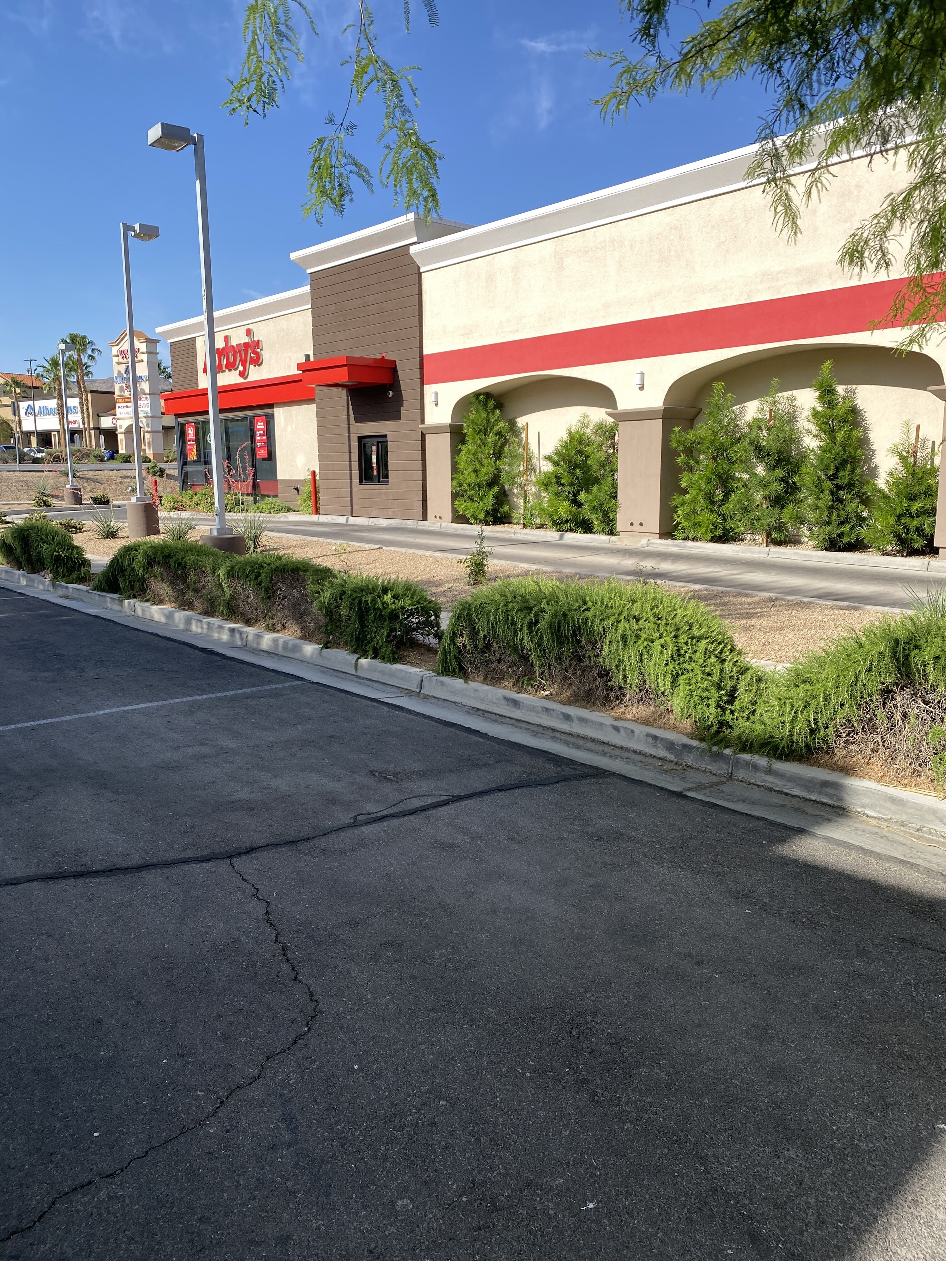
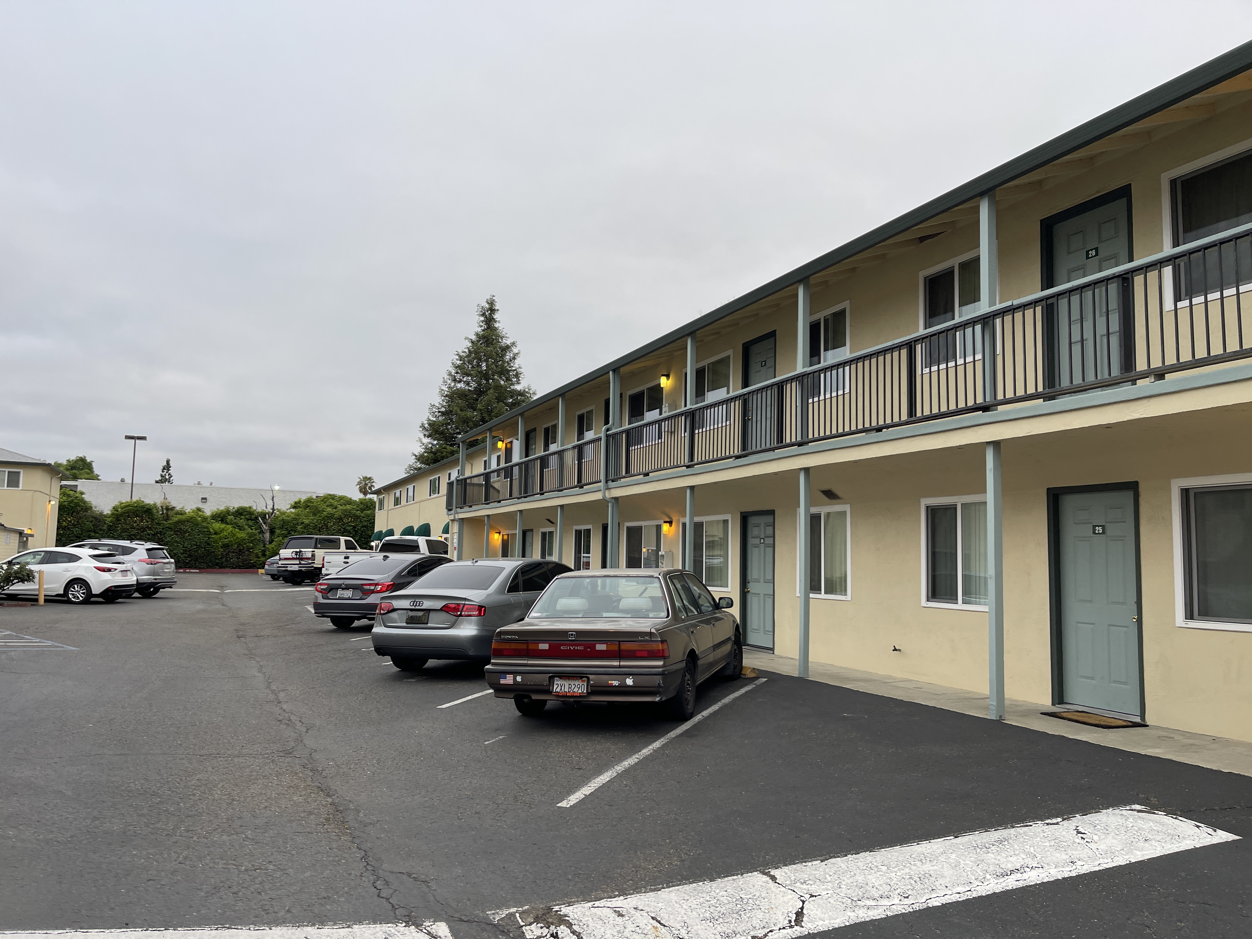
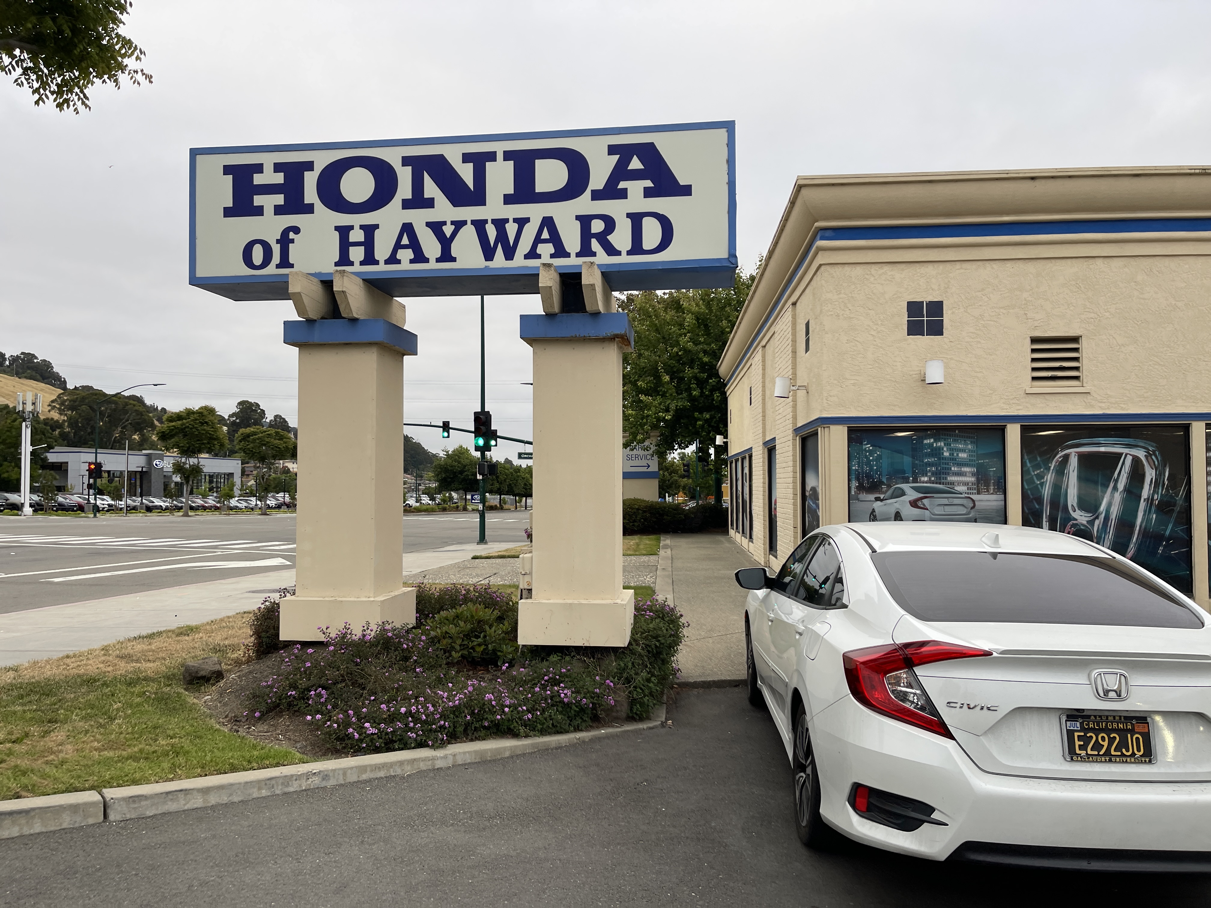
Project: Mission Boulevard
Location: Hayward, CA
Completed: 2023
Performed an ALTA/NSPS survey of 444-36-37-6, which is approximately 1.02+/- acres. Data was provided to complete 2021 Table “A” items 2, 3, 4, 5, 6a, 7a, 7b1, 8, 9, 11a, 13, 14, 16, 17, 18, and 19.

Project: Ladera Ranch
Location: Ladera Ranch, CA
Completed: 2023
Performed an ALTA survey where our surveyors conducted detailed research on the property, reviewing land records, plats, and legal descriptions. Fieldwork includes precise measurements, locating property corners, and identifying visible improvements. Also, conduct line locates using specialized equipment to detect the underground utilities.


Project: E Basin Avenue
Location: Pahrump, NV
Completed: 2023
Performed an ALTA survey where our surveyors conducted detailed research on the property, reviewing land records, plats, and legal descriptions. Fieldwork includes precise measurements, locating property corners, and identifying visible improvements. Also, conduct line locates using specialized equipment to detect the underground utilities.


