Skip links

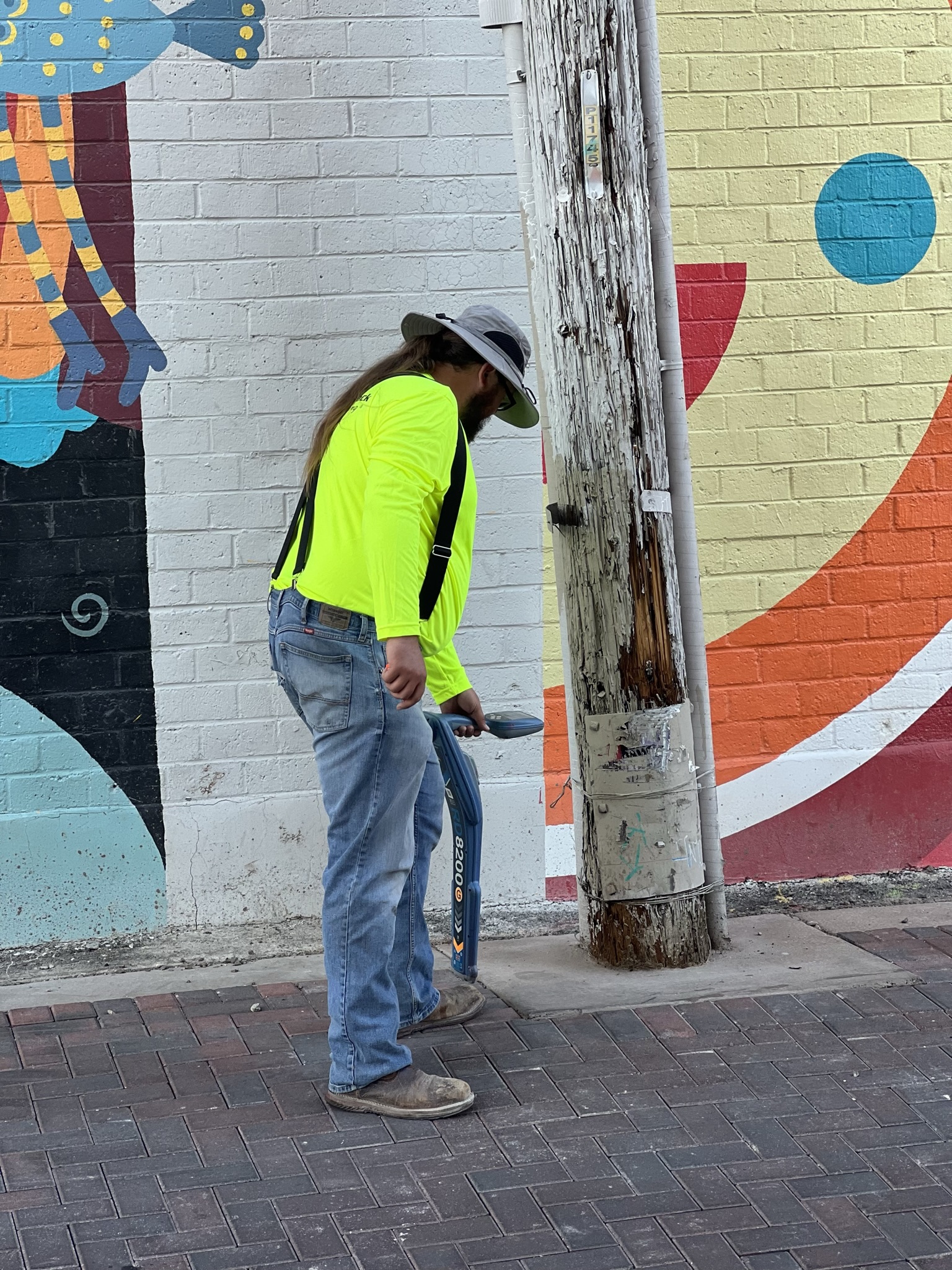
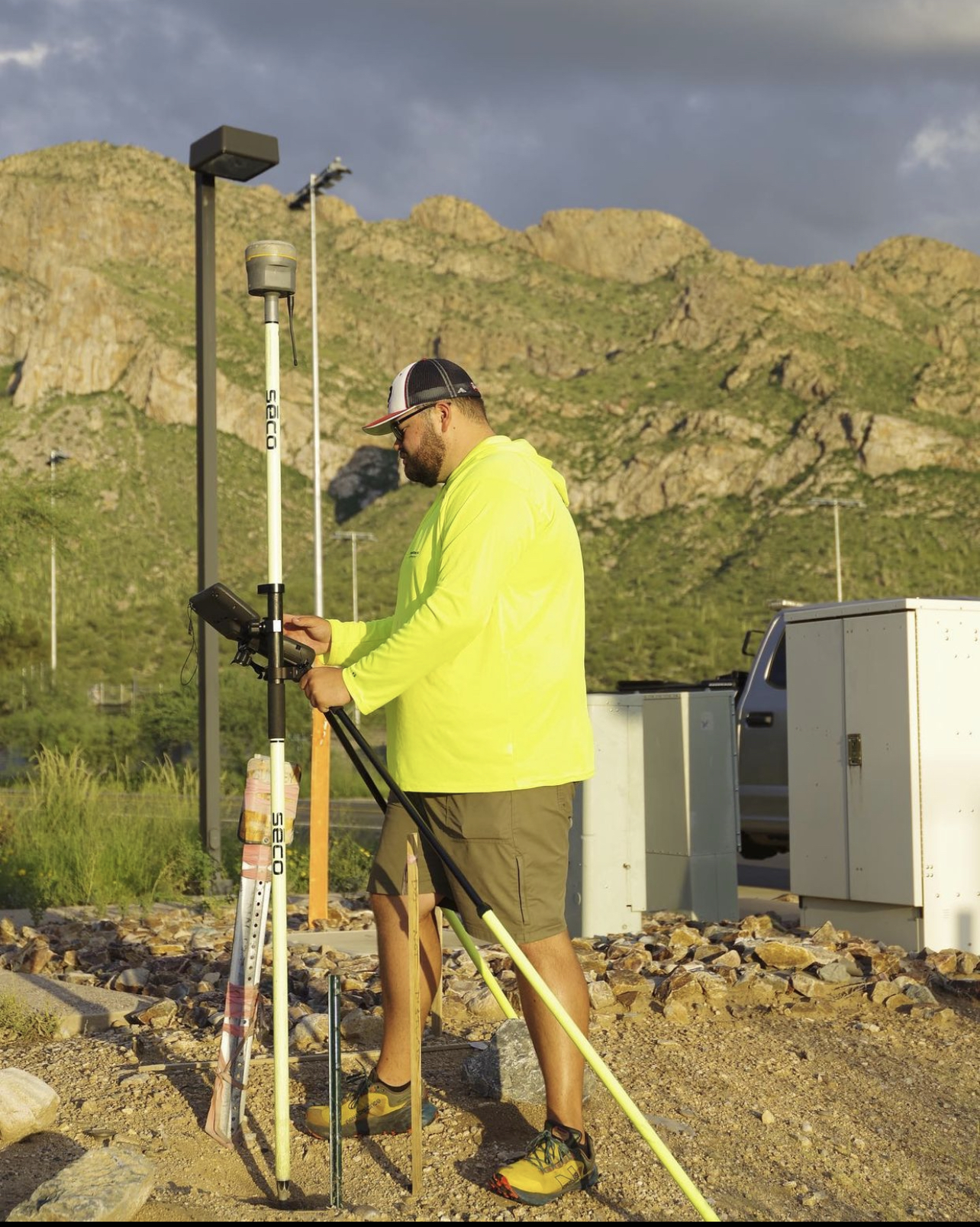
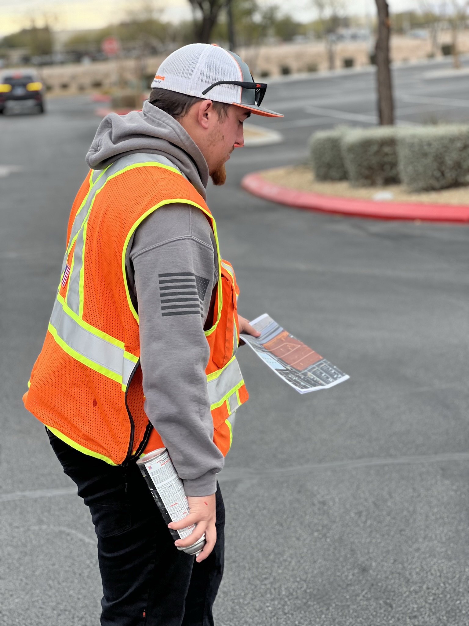
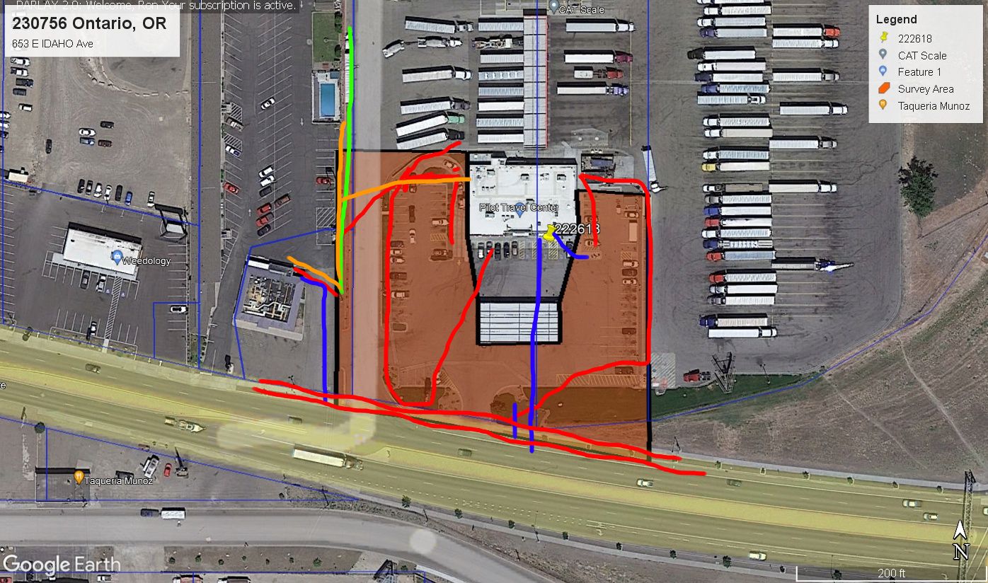
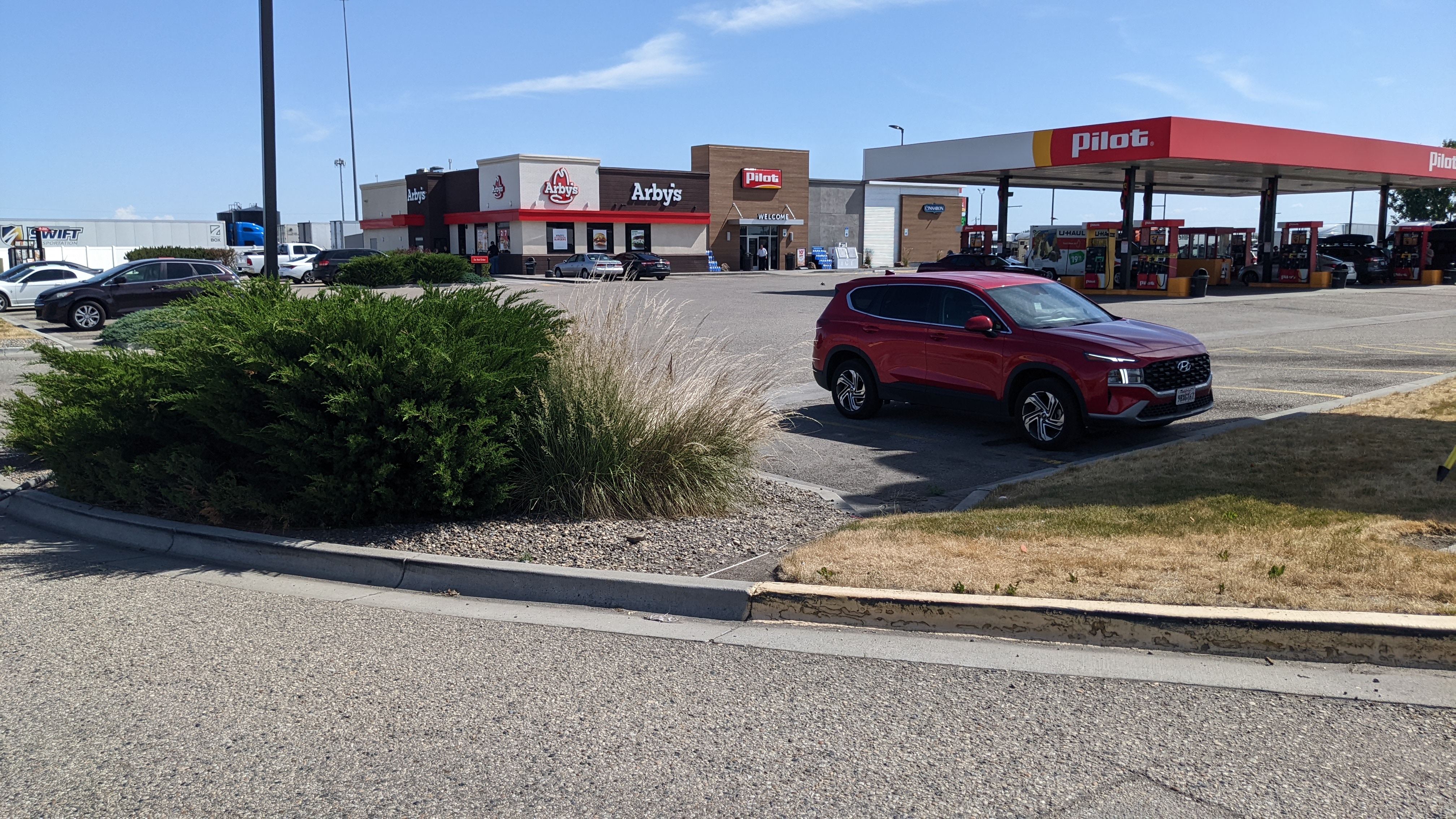
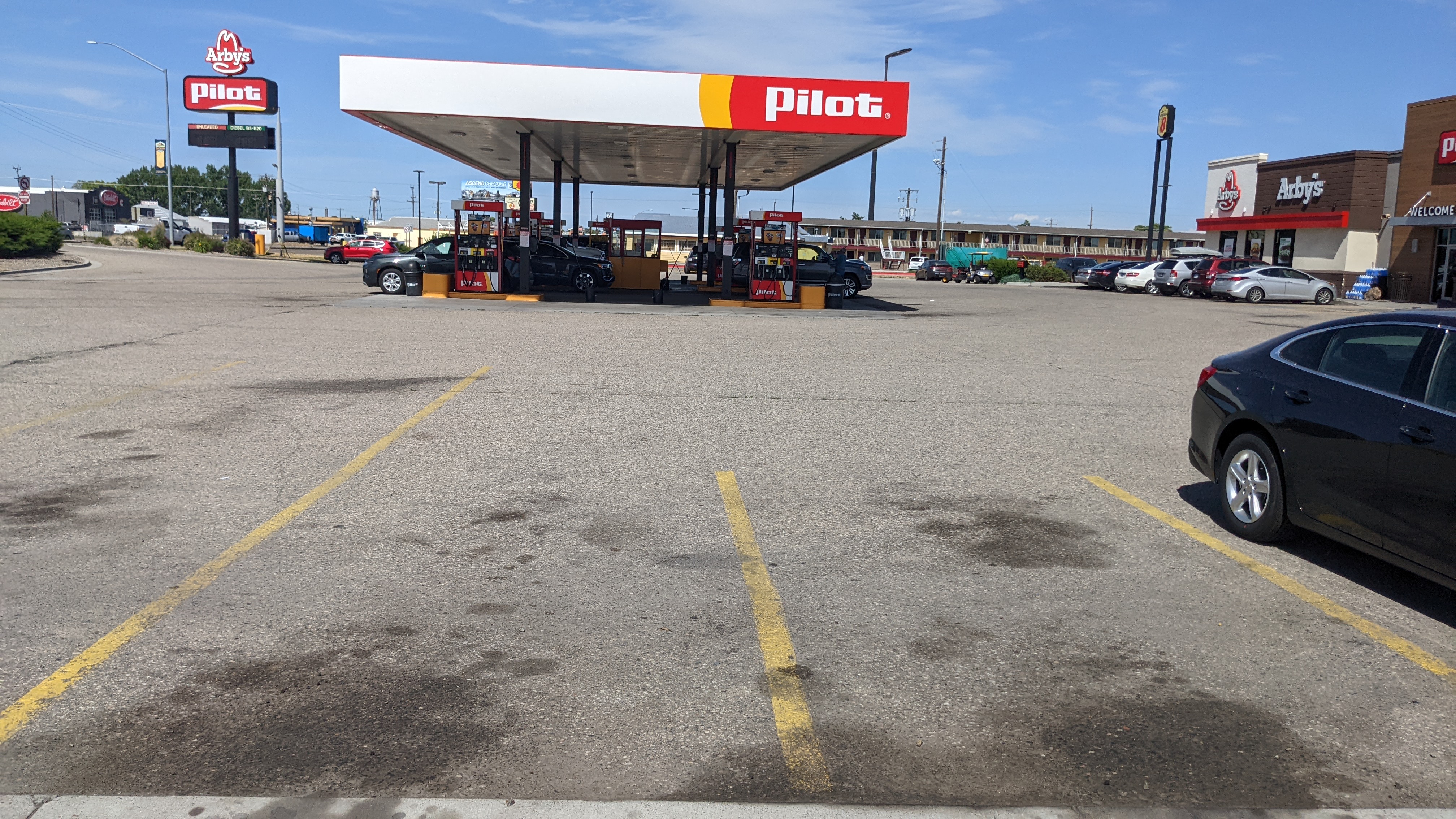
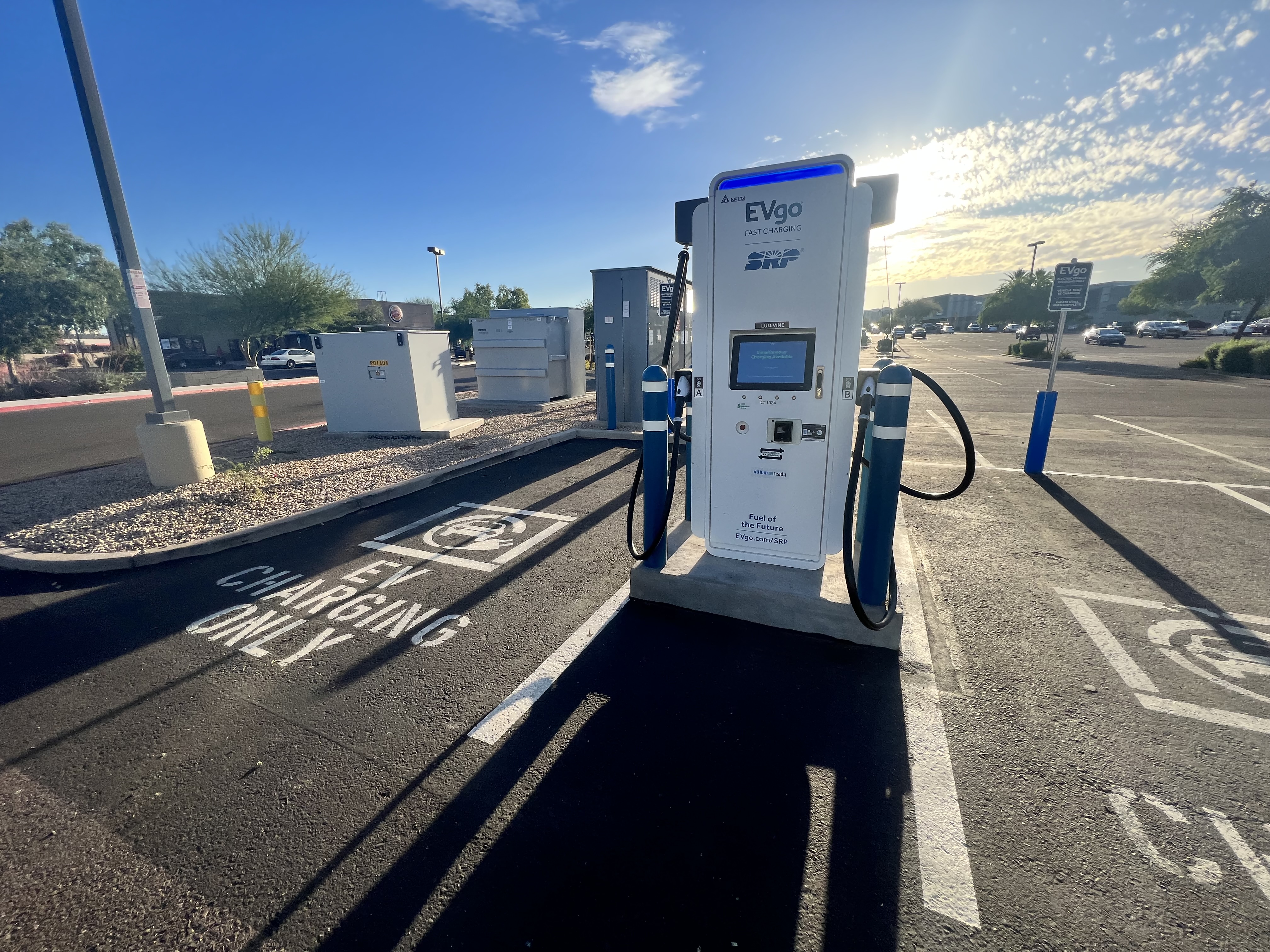
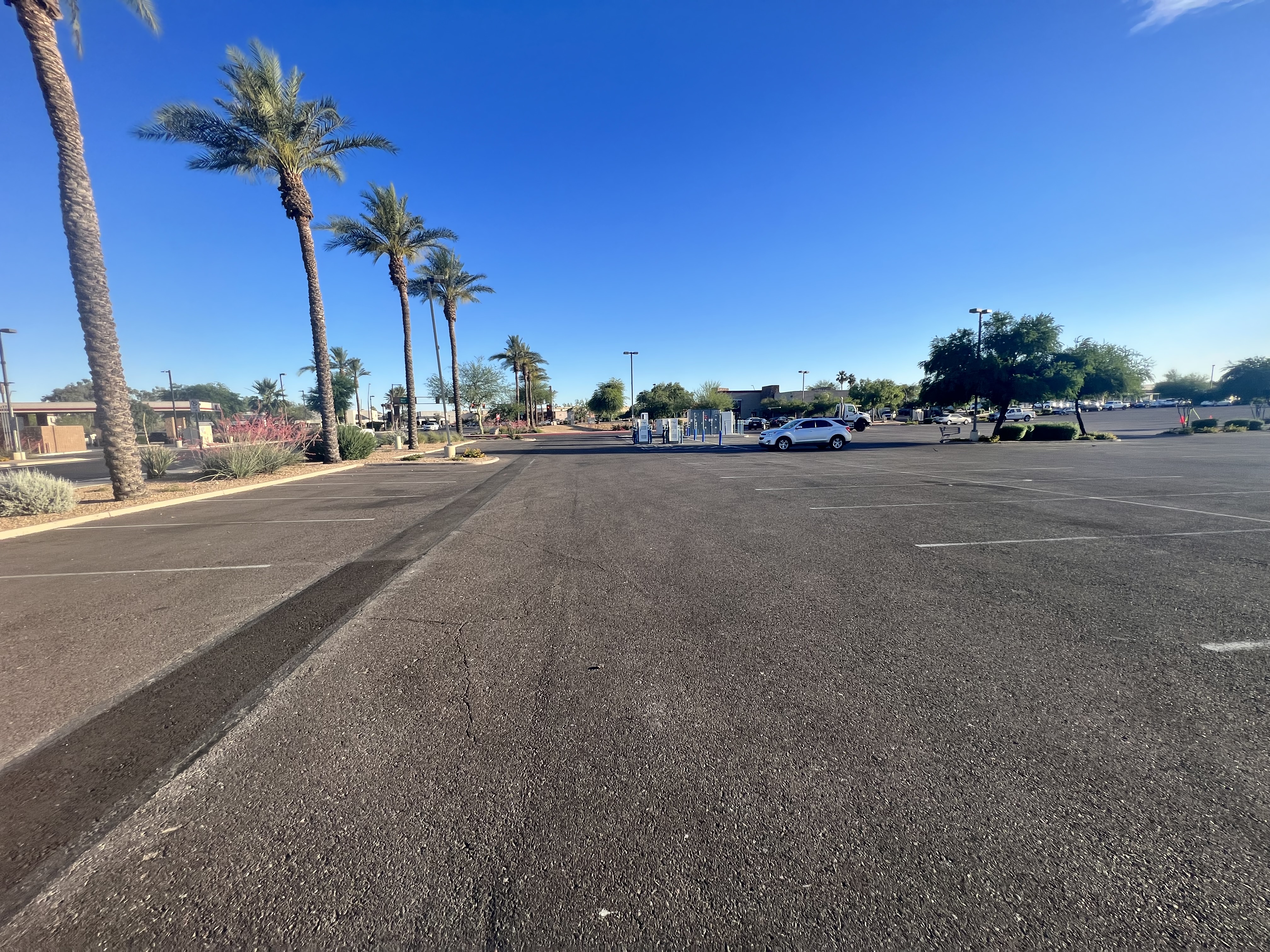
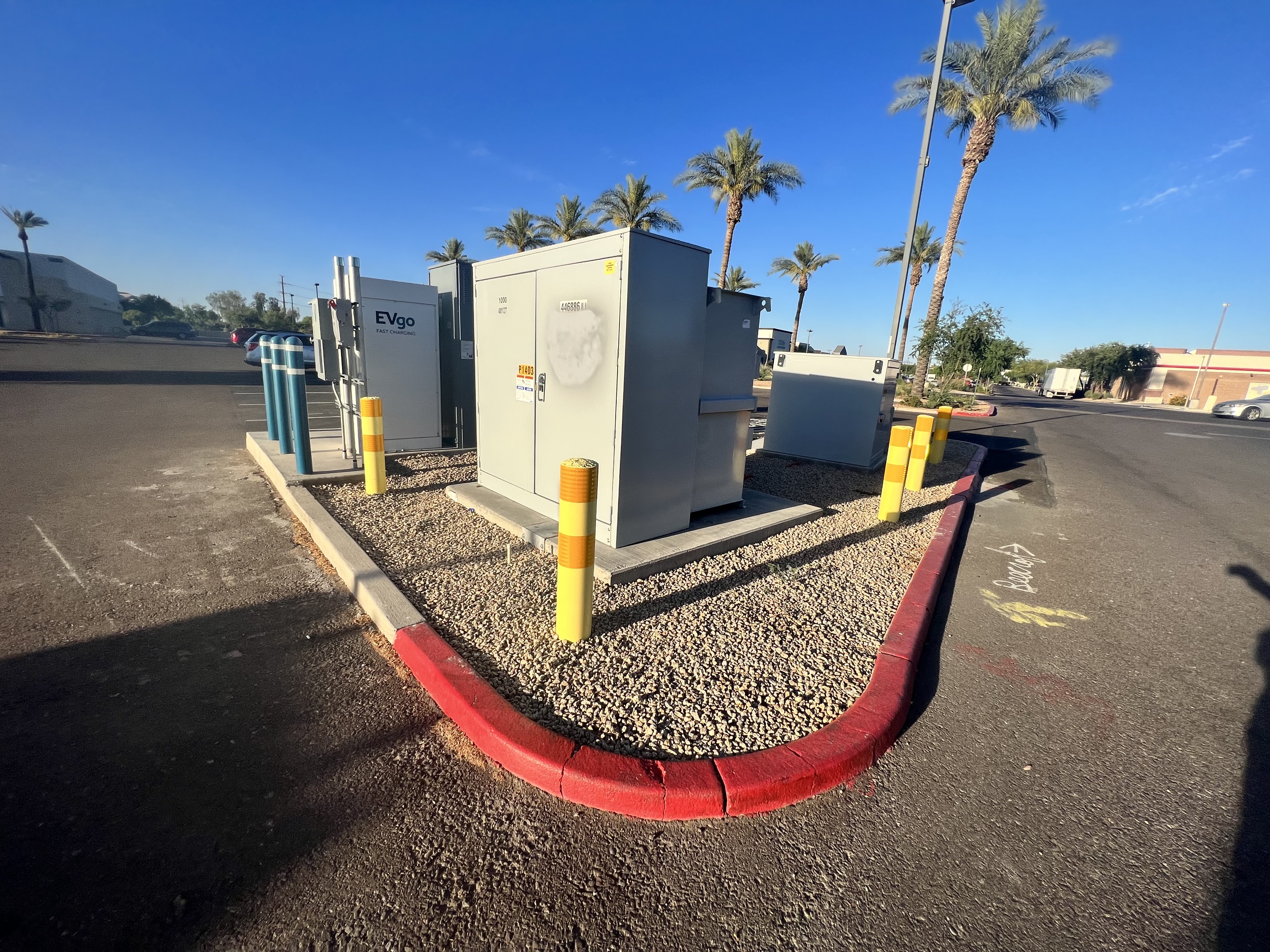
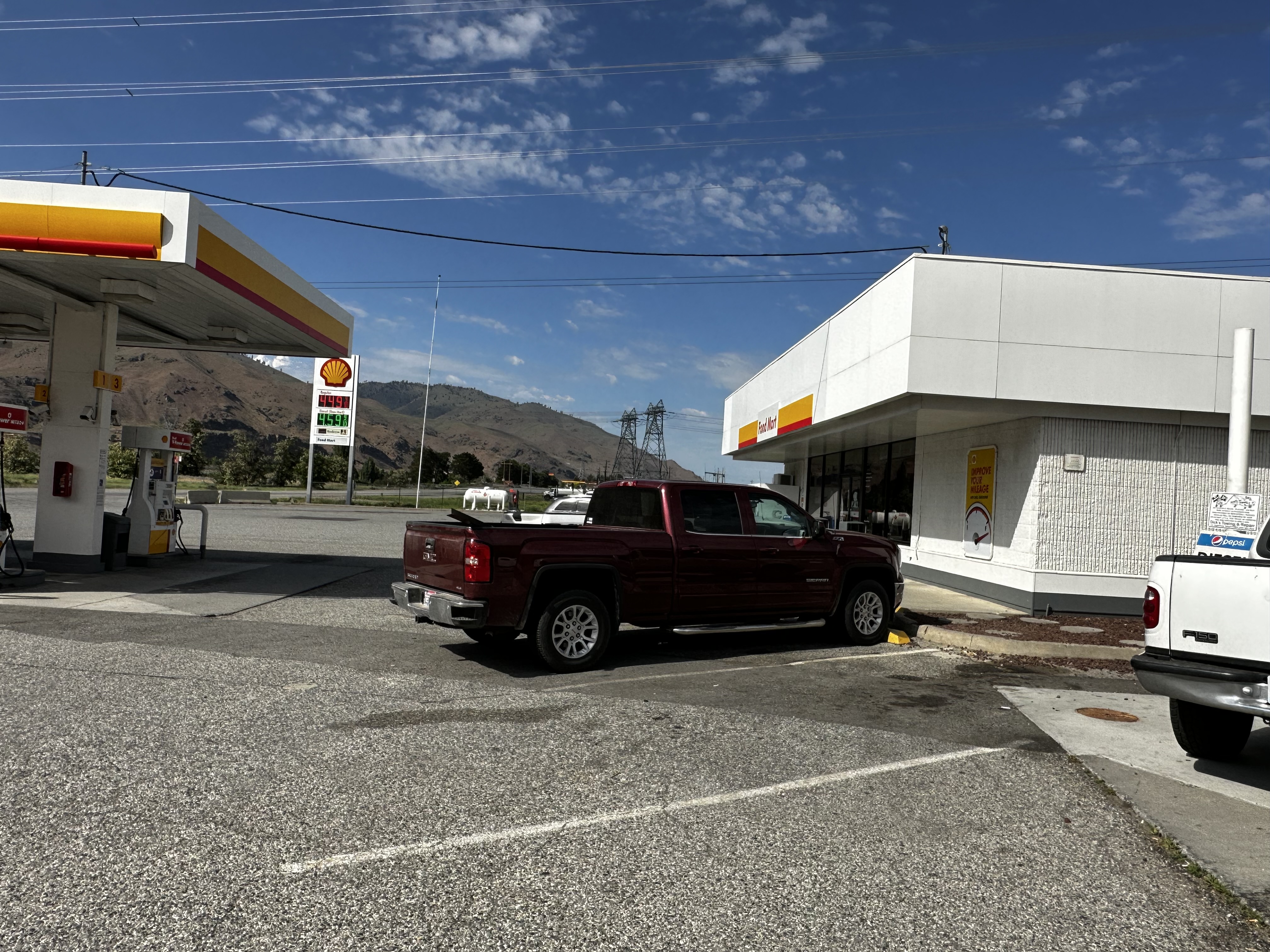
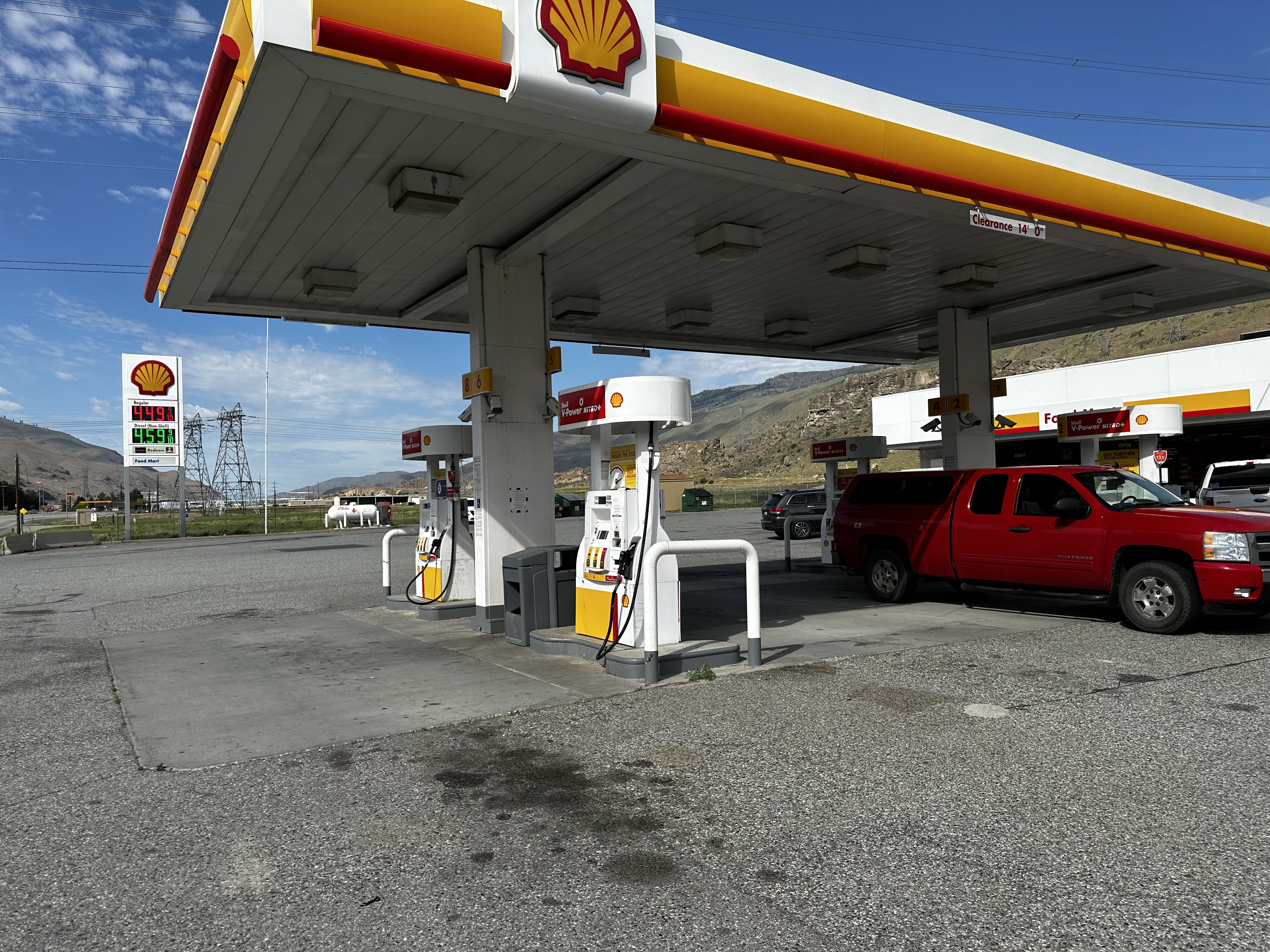
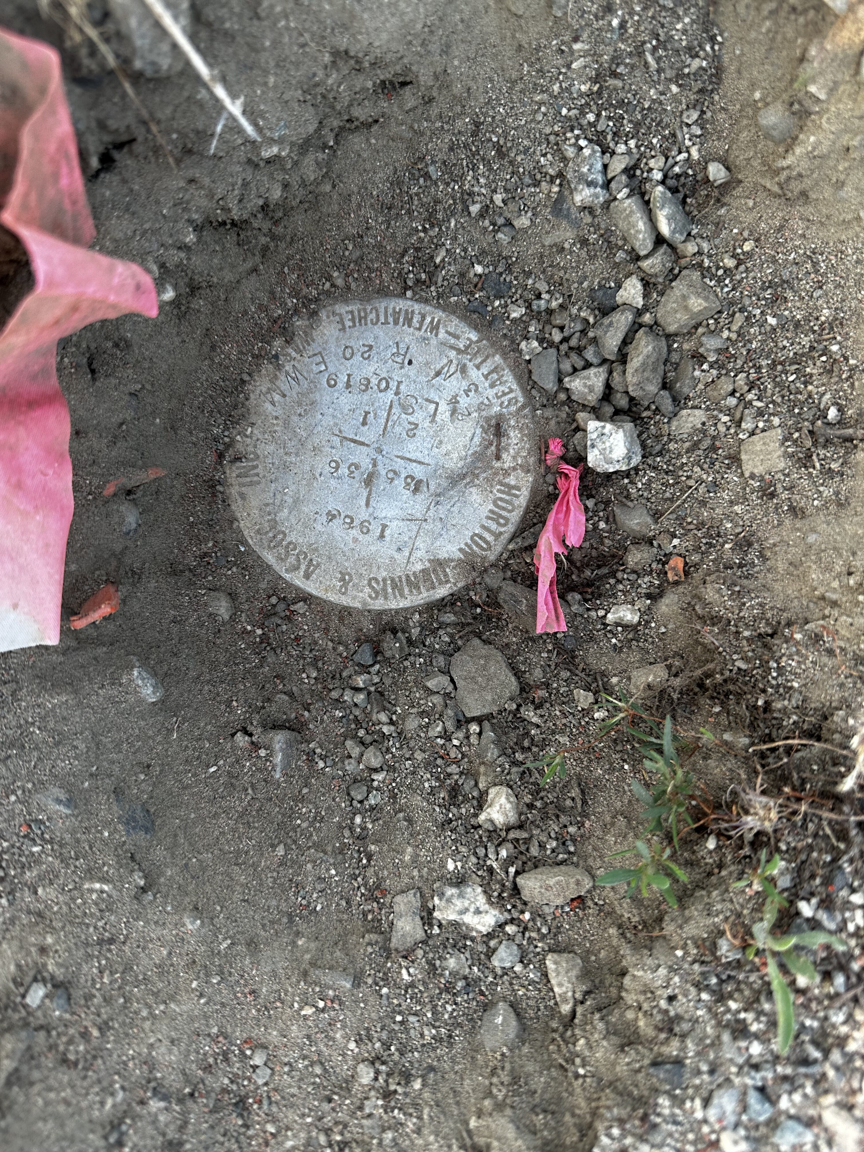
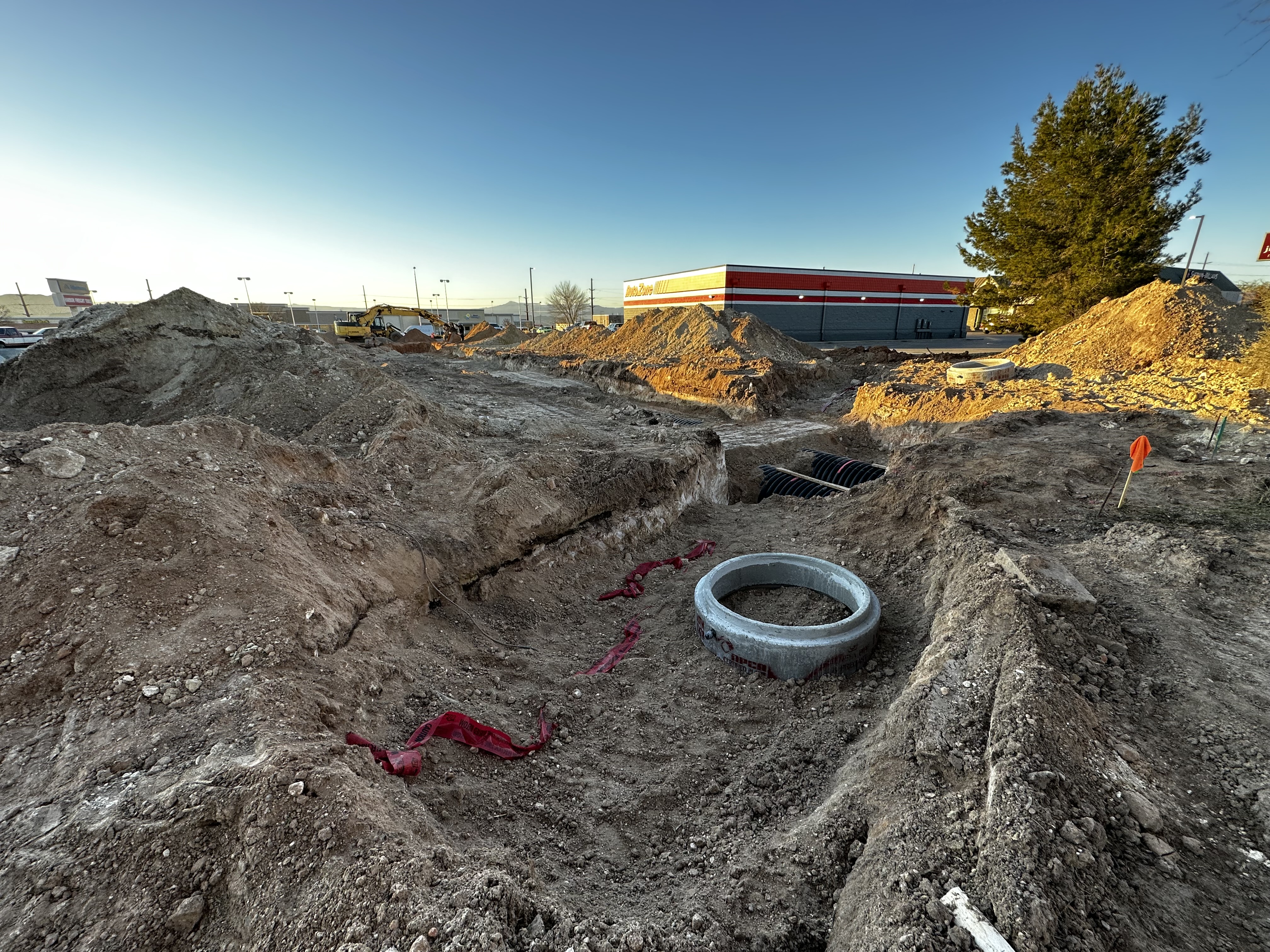
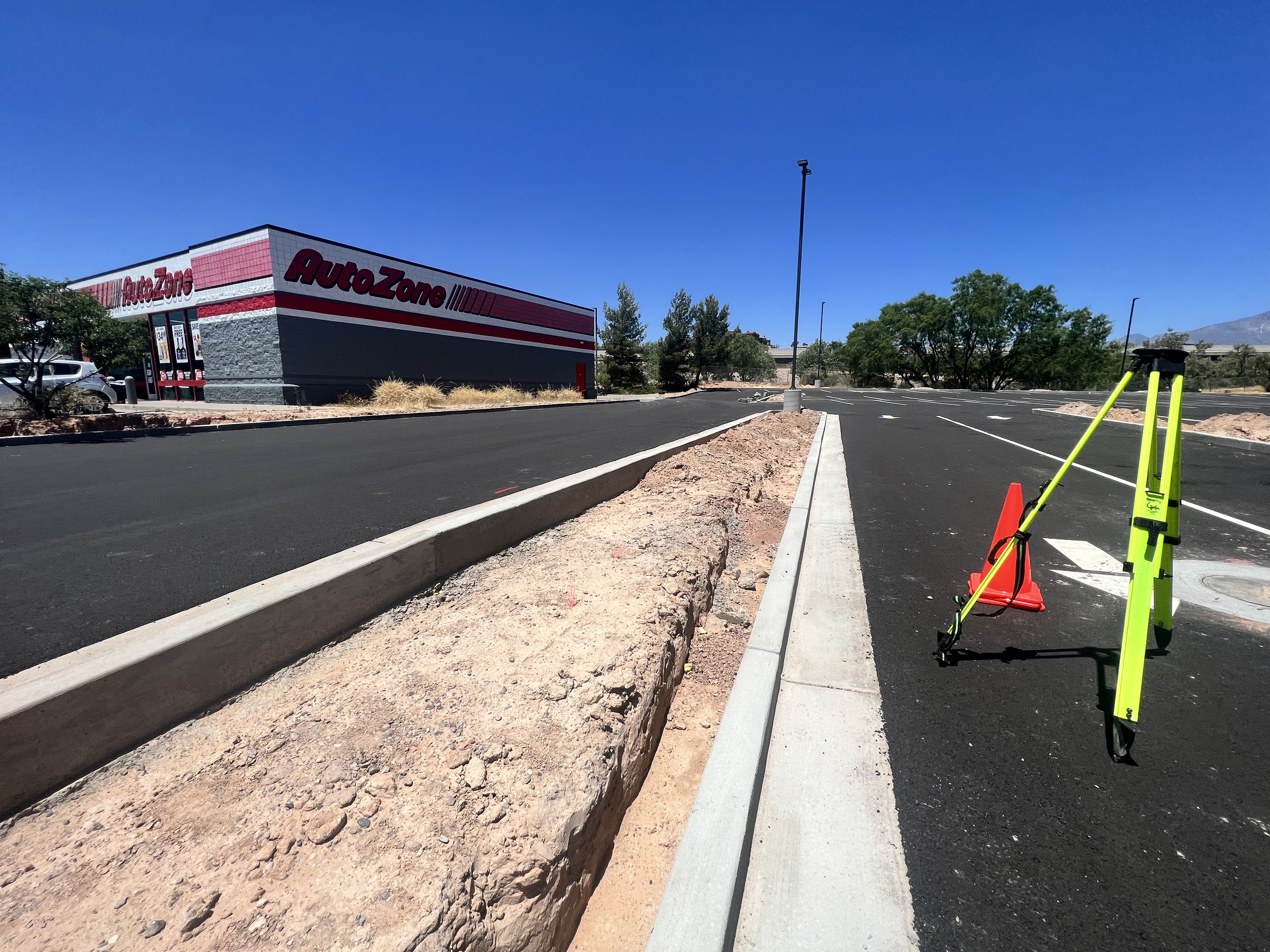
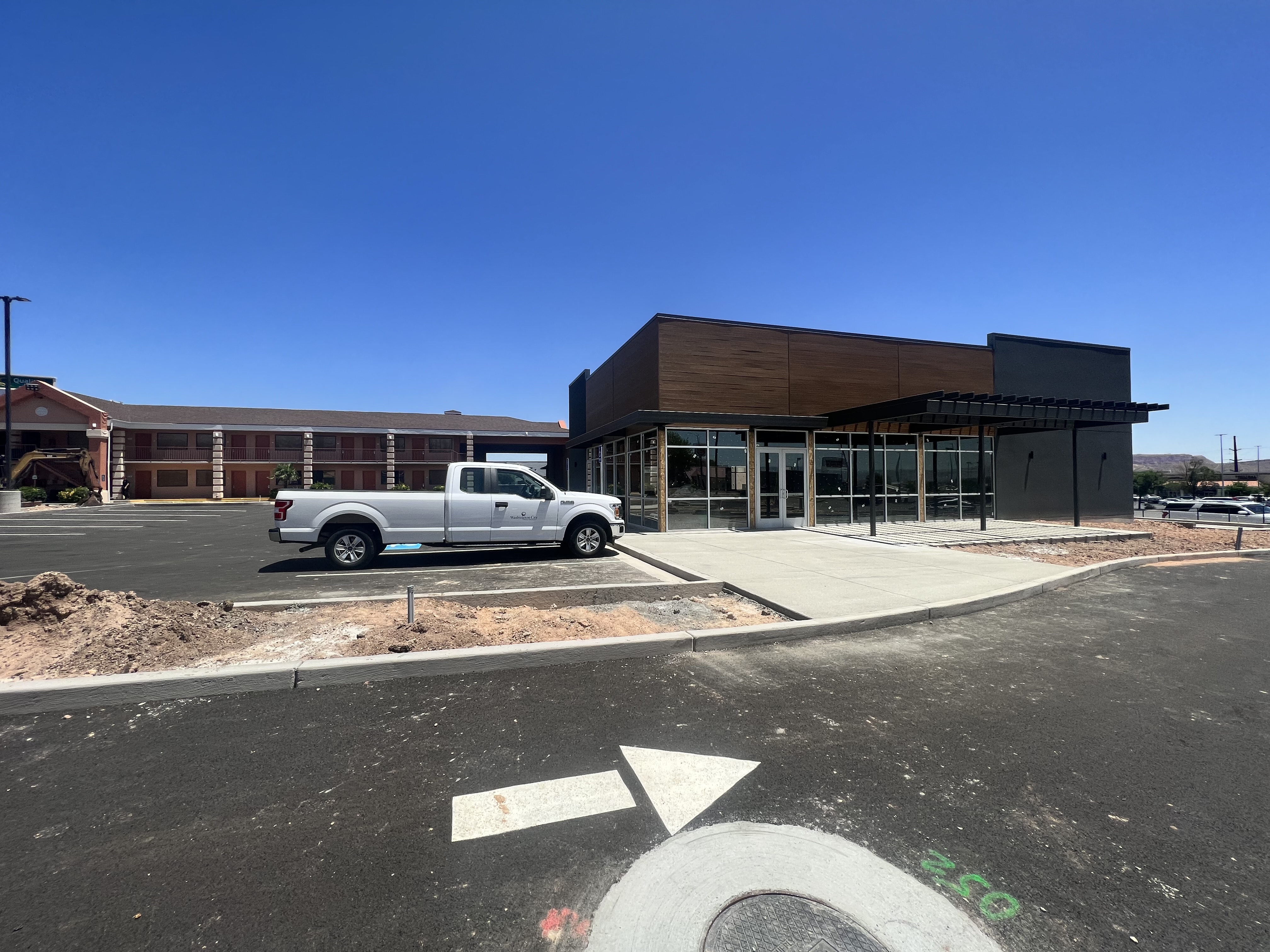
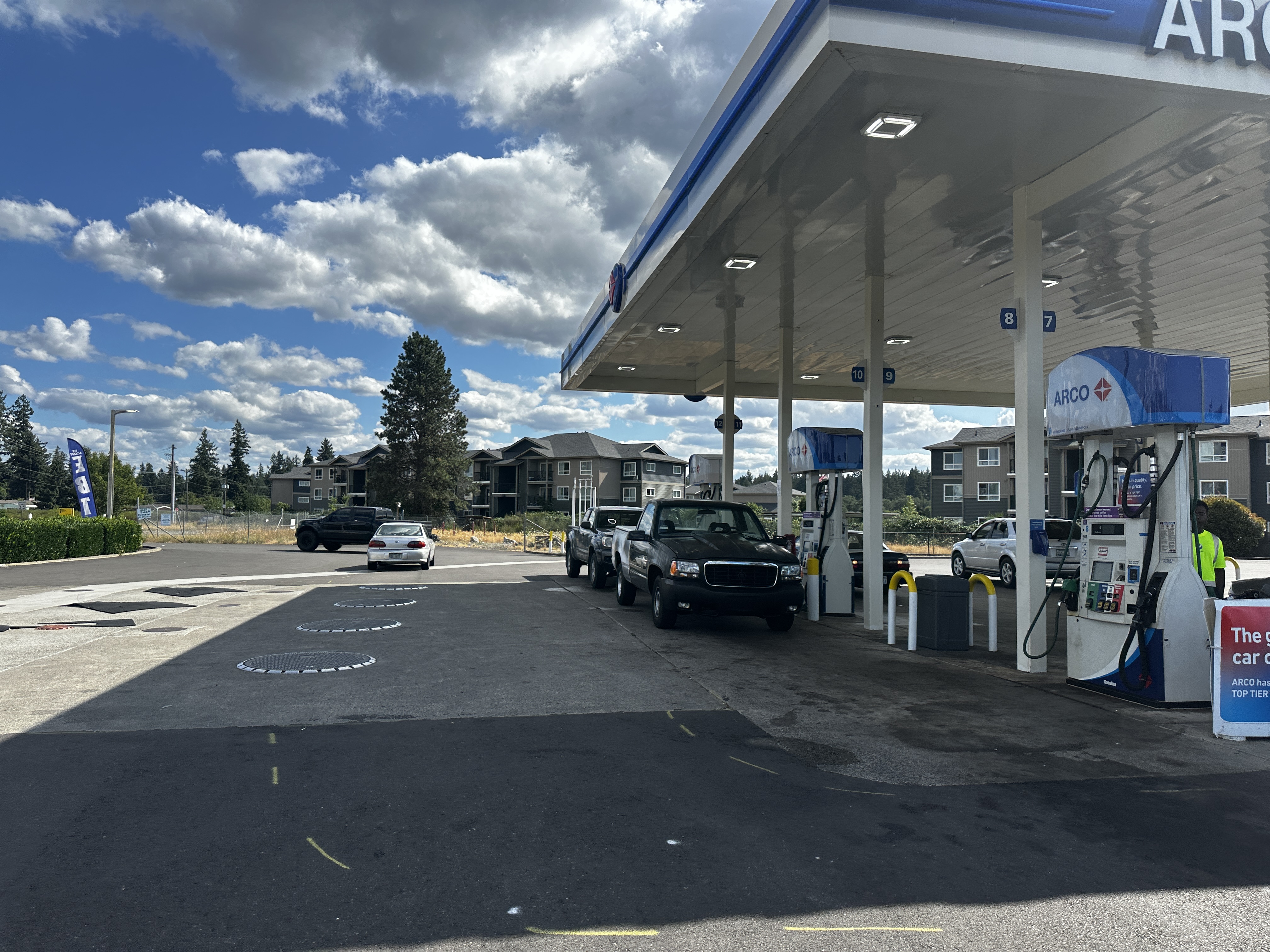
EV Charging Projects

Project:  EV Survey Haul Rd 

Location: Page, AZ  

Diamondback Land Surveying provided professional boundary and topographic survey services for a 3.0± acre portion of APN 80101009W, delivering accurate and reliable site data to support engineering design and land development planning. Our field survey team establishes precise boundary control across the project area while performing a detailed topographic survey, capturing hard shots of all relevant site features, including structures, roadways, visible ground conditions, and utility improvements, within the defined survey limits. To further enhance subsurface understanding, Diamondback Land Surveying coordinates with a private utility locating company to identify and map detectable underground utilities within the survey boundaries; however, this service excludes utilities located within public right-of-way roadways.

Our office and mapping services include comprehensive research and procurement of available record maps, deeds, and supporting documents, followed by the reduction and processing of all field-collected data into a detailed boundary and topographic base map. The final deliverables provide essential surveying and mapping information to support engineering design, permitting, due diligence, and future development efforts.

Project:  EV Survey SW 18th Ter 

Location: Bushnell, FL

Diamondback Land Surveying provided professional boundary and topographic survey services for a 1.5± acre portion of APN N08-117, delivering accurate and detailed site data to support engineering design, permitting, and land development planning. Our field survey team established precise boundary control across the project area and conducted a comprehensive topographic survey, capturing hard shots of all relevant site features, including existing structures, roadways, visible ground conditions, and utility improvements, for subsequent engineering analysis. To support a more complete understanding of existing conditions, Diamondback Land Surveying also coordinated with a private utility locating service to identify and map detectable subsurface utilities within the survey limits, excluding utilities located within public right-of-way roadways.

Our office and mapping team conducted thorough research and procurement of available record maps, deeds, and supporting documentation to ensure an accurate understanding of the property. Field data was then processed and reduced into a detailed boundary and topographic base map suitable for engineering and design use. The final deliverables provide essential surveying and mapping information to support engineering design, permitting, due diligence, and future development efforts.

Project:  EV Survey Franklin St

Location: Oakland, CA

Diamondback Land Surveying completed a comprehensive boundary and topographic survey for a 2.6± acre project area encompassing APNs 8-638-6-4 and 8-638-7-11, supporting engineering design and redevelopment planning for a multi-level parking structure and surrounding site improvements. Our field survey team established precise boundary control and performed detailed topographic mapping of all applicable areas, including the ground (street) level parking garage at Franklin Street and 19th Street, Basement Level B1, Basement Level B2, and the exterior areas located north, east, and south of the structure. The interior and exterior survey included the collection of high-accuracy data on structural elements, roadway access points, visible ground features, and utility improvements necessary for future engineering and design applications.

To ensure a complete understanding of existing site conditions, Diamondback Land Surveying coordinated private utility locating services to identify and map detectable subsurface utilities within the defined survey limits, excluding utilities located within public right-of-way roadways. Our office and mapping team conducted thorough research and procurement of available record maps, deeds, and supporting documentation to ensure an accurate understanding of the property. Field data was then processed and reduced into a detailed boundary and topographic base map suitable for engineering and design use. The final deliverables provide essential surveying and mapping information to support engineering design, permitting, due diligence, and future development efforts.

Project: EV Survey S Grady Way 

Location: Renton, WA

Diamondback Land Surveying completed a professional boundary and topographic survey for a 4.0± acre project area encompassing APNs 7232000020 and 1923059101, providing accurate and reliable survey data to support engineering design, permitting, and land development planning. Our field survey team established precise boundary control across the site and performed a detailed topographic survey, capturing high-accuracy measurements of all relevant site features including existing structures, roadways, visible ground conditions, and utility improvements required for future engineering and construction design. To ensure a comprehensive understanding of subsurface conditions, Diamondback Land Surveying also coordinated with a private utility locating service to identify and map detectable underground utilities within the survey limits, excluding utilities located within public right-of-way roadways.

Our office and mapping team conducted thorough research and procurement of available record maps, deeds, and supporting documentation to verify existing property information and boundary conditions. Field data was then processed and reduced to a detailed boundary and topographic base map suitable for engineering design and development. The final deliverable provides a clear and dependable representation of existing site conditions, supporting informed decision-making for designers, engineers, developers, and project stakeholders throughout all phases of planning and construction.

Project: EV Survey 

Location: Tulalip Bay, WA  

Diamondback Land Surveying completed a professional boundary and topographic survey for a 4.0± acre project area encompassing APNs 7232000020 and 1923059101, providing accurate and reliable survey data. Diamondback Land Surveying completed a professional boundary and topographic survey for a 4.5± acre portion of APN 30050800400300, delivering accurate and detailed survey data to support engineering design, land development planning, and permitting efforts. Our field survey team established precise boundary control across the project site and performed a comprehensive topographic survey, capturing high-accuracy measurements of all relevant features including existing structures, roadways, visible ground conditions, and utility improvements necessary for subsequent engineering and construction design. In addition, Diamondback Land Surveying coordinated with a private utility locating service to identify and map detectable subsurface utilities within the survey limits, excluding utilities located within public right-of-way roadways.

Our office and mapping team conducted thorough research and procurement of available record maps, deeds, and supporting documents to verify existing property information and boundary conditions. Field data was then processed and reduced into a detailed boundary and topographic base map suitable for engineering design and development applications. The final deliverable provides a reliable, accurate representation of existing site conditions, supporting informed decision-making for engineers, developers, and project stakeholders throughout the planning, design, and construction phases.