Parcel Maps
Record of Surveys
Boundary Line Adjustments
Tentative/Subdivision Maps
Easement Exhibits
Right-of-Way Acquisition
Title Research
Condo Mapping
Legal Descriptions
ALTA Surveys
Cadastral Boundary Surveys
OUR SERVICES
CONSTRUCTION STAKING
Boundary Staking
On-site Control Staking
Wet Utilities Staking
Dry Utilities Staking
Curb and Gutter Staking
Finish Floor Certificate
Building Layout
Commercial Grid line Layout
Residential Building Corners
Monitoring
Our Services
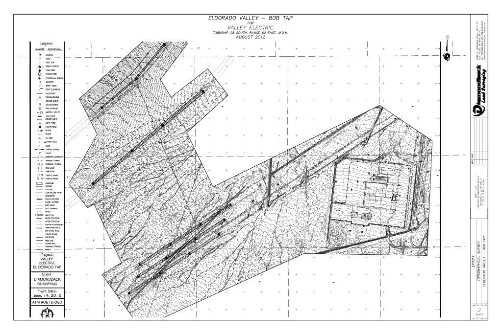
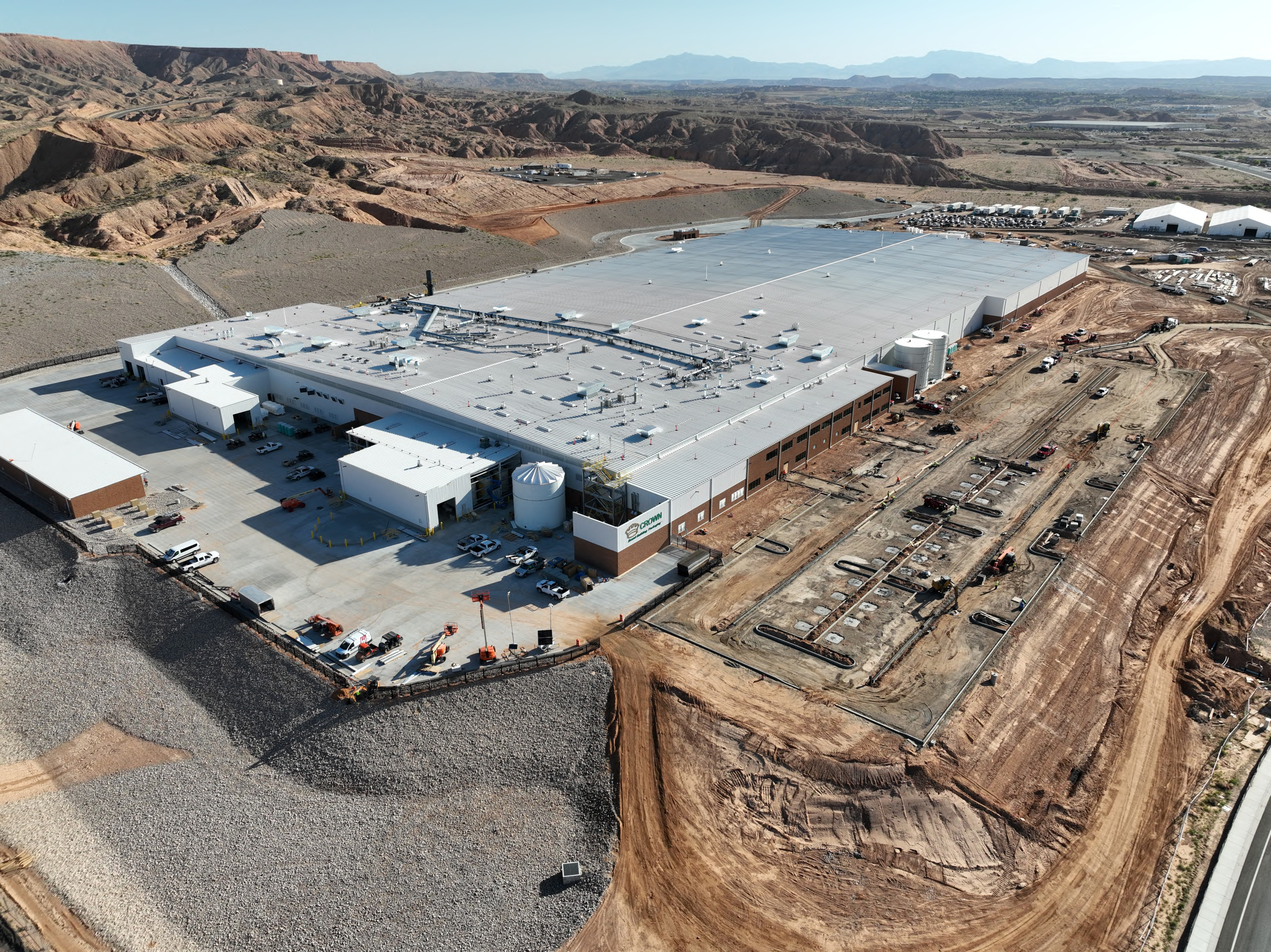
TOPOGRAPHY
Aerial Photogrammetry
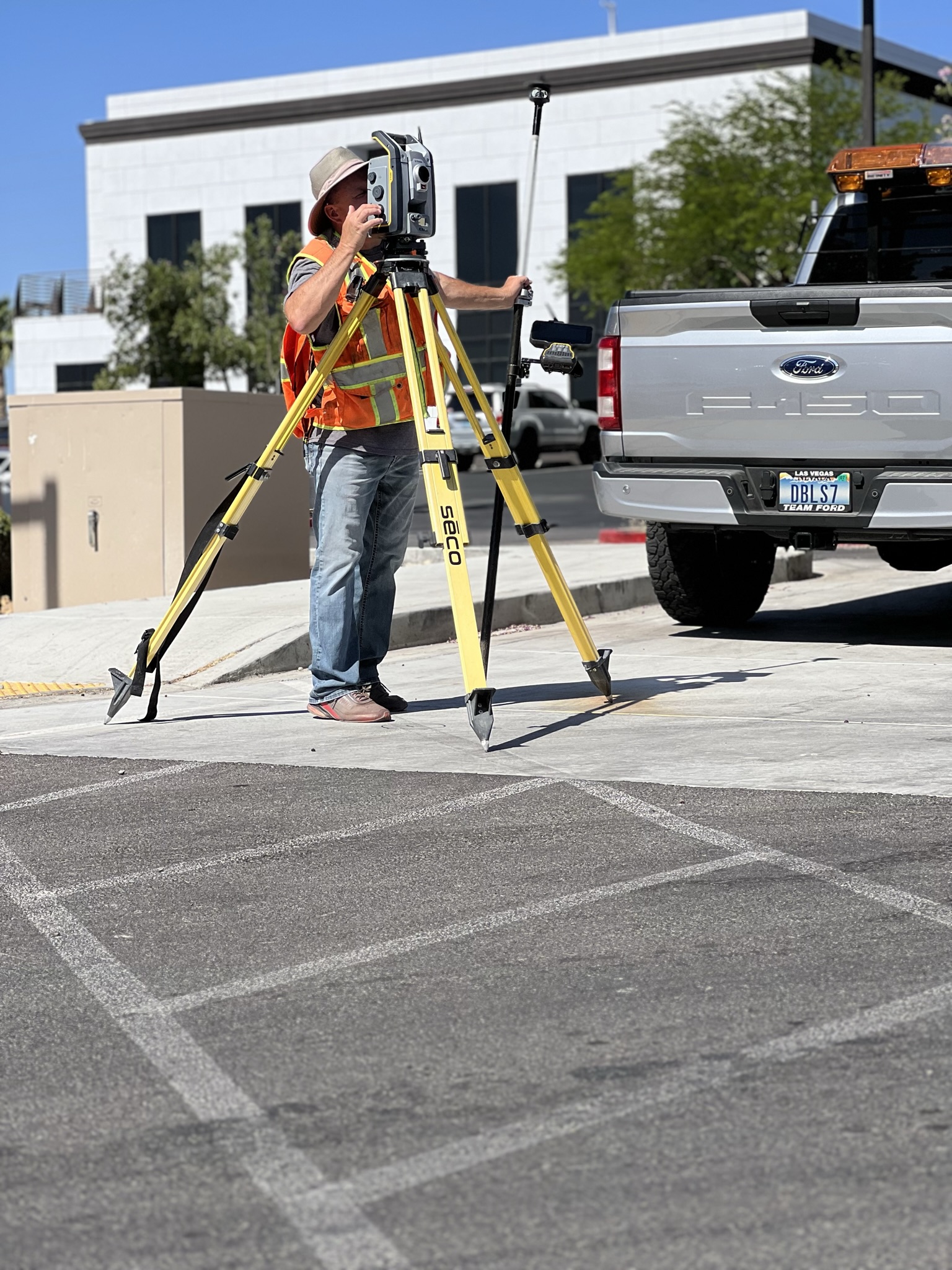
Conventional Topography
Utility As-Built
GPS (Global Positioning System)
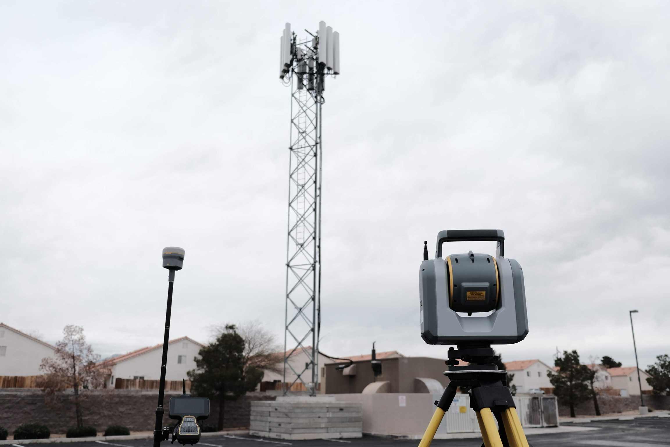
High Definition 3D Laser Scanning
OUR SERVICES
HIGH DEFINITION 3D LASER SCANNING
Coachella
Dennys
Joshua
El Centro
Sands Expo
Richfield McDonalds
Bull Head City McDonalds
Cashman Field