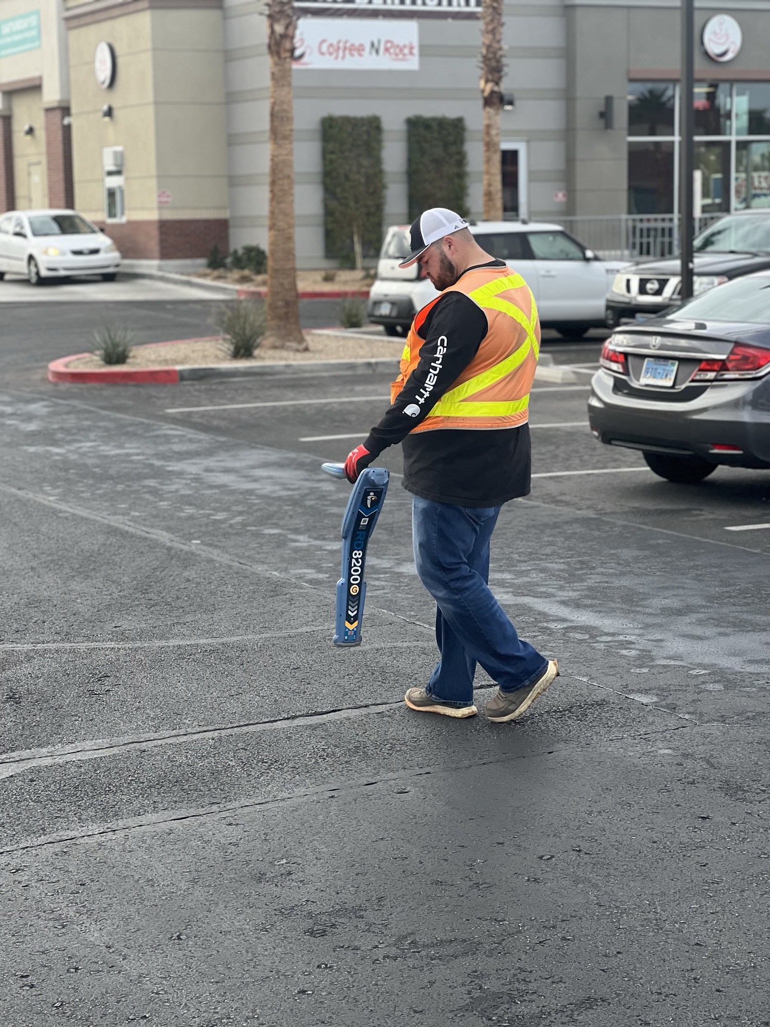
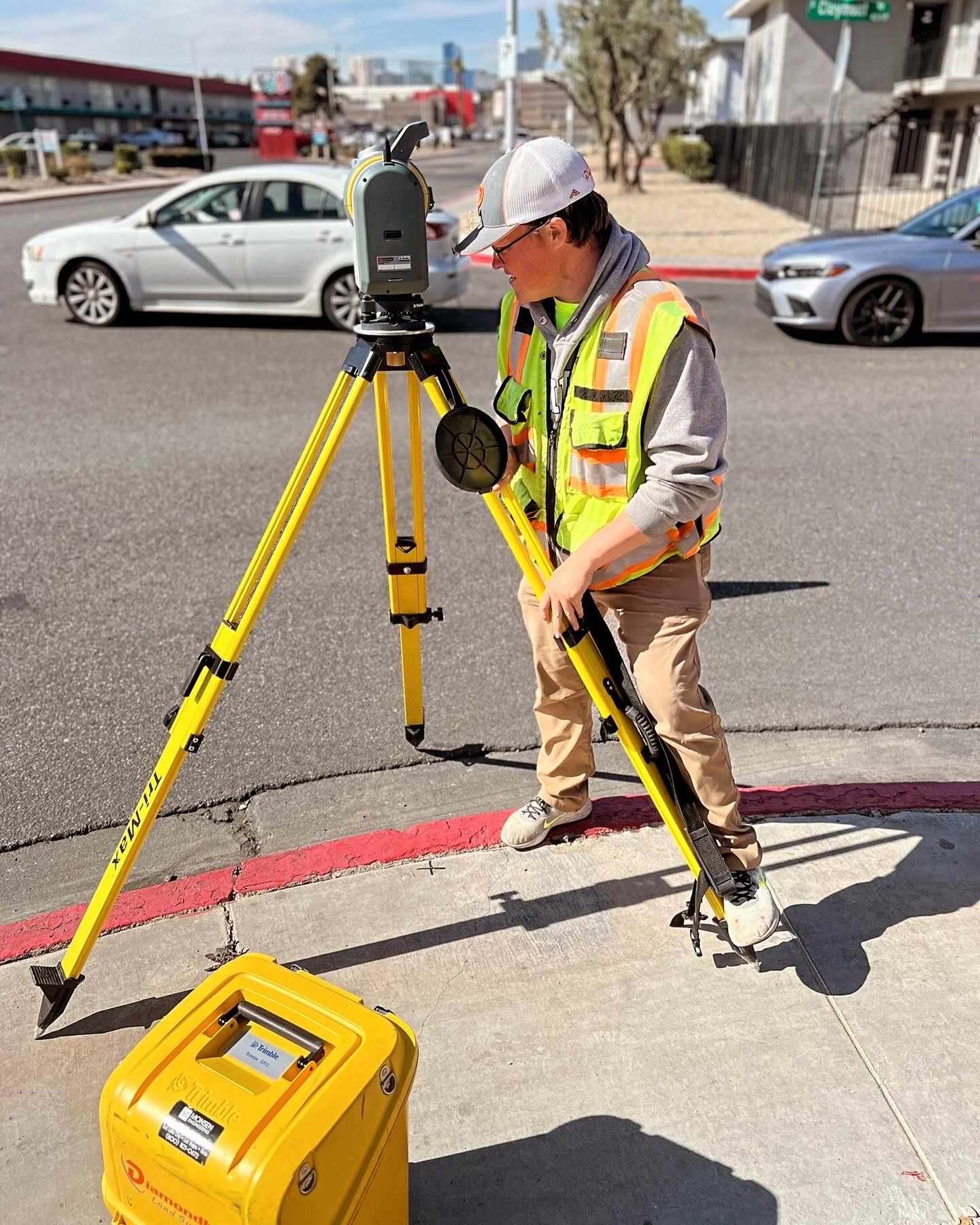
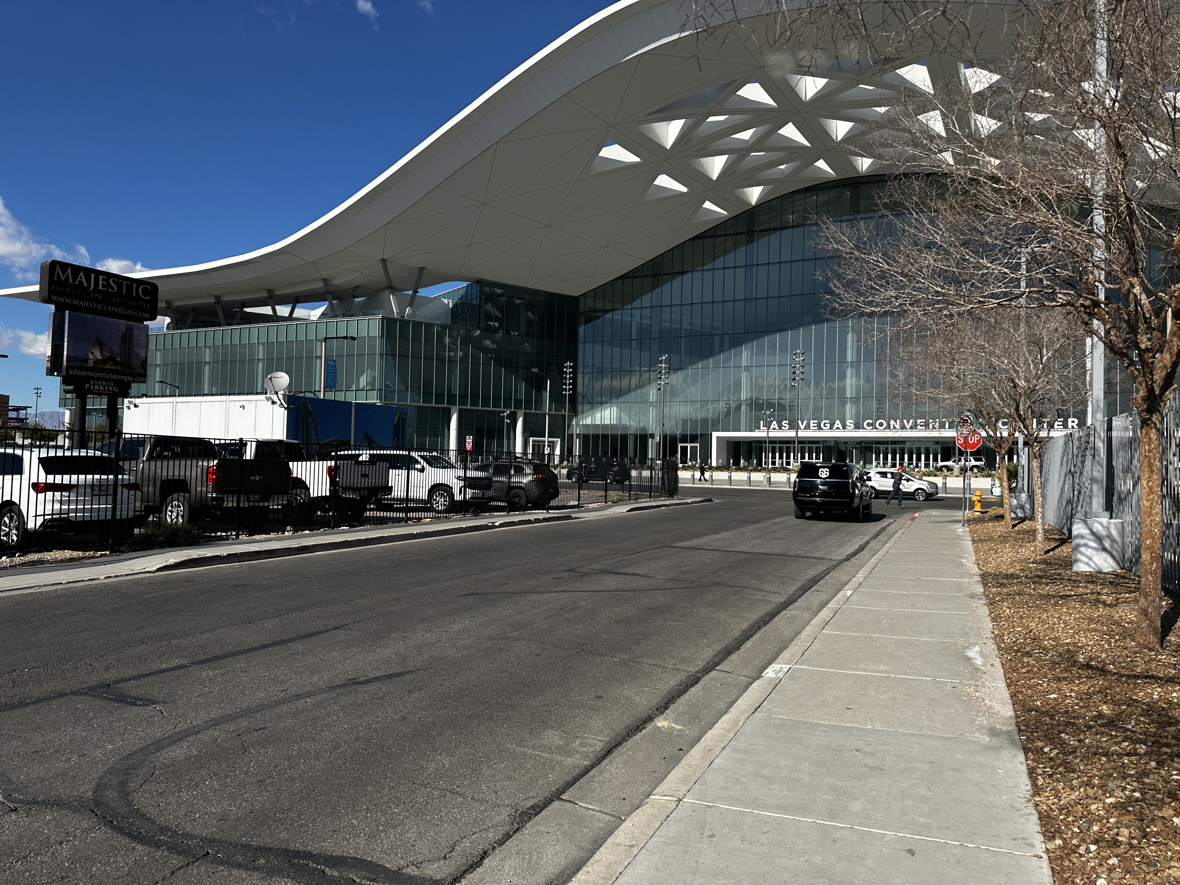
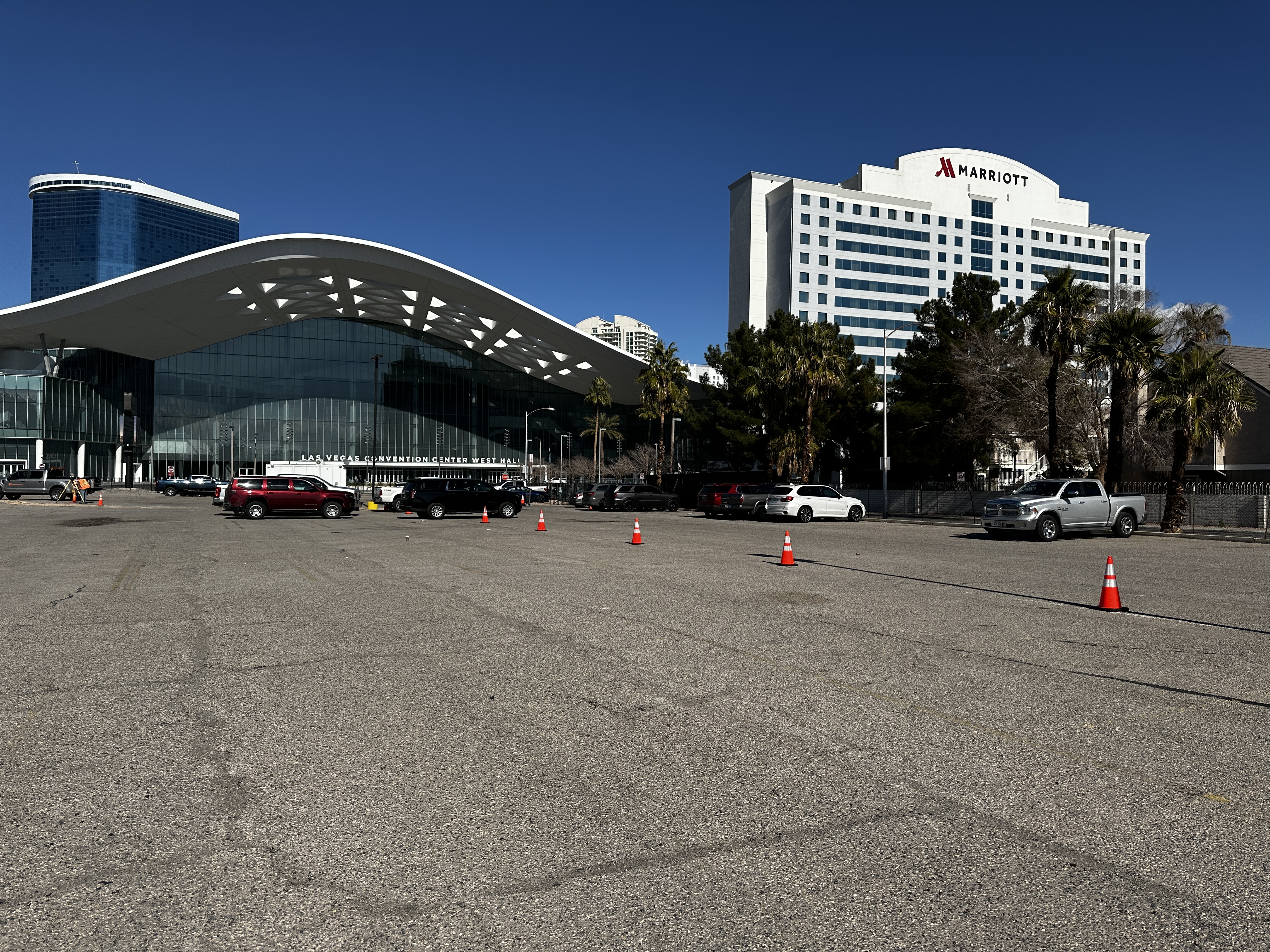
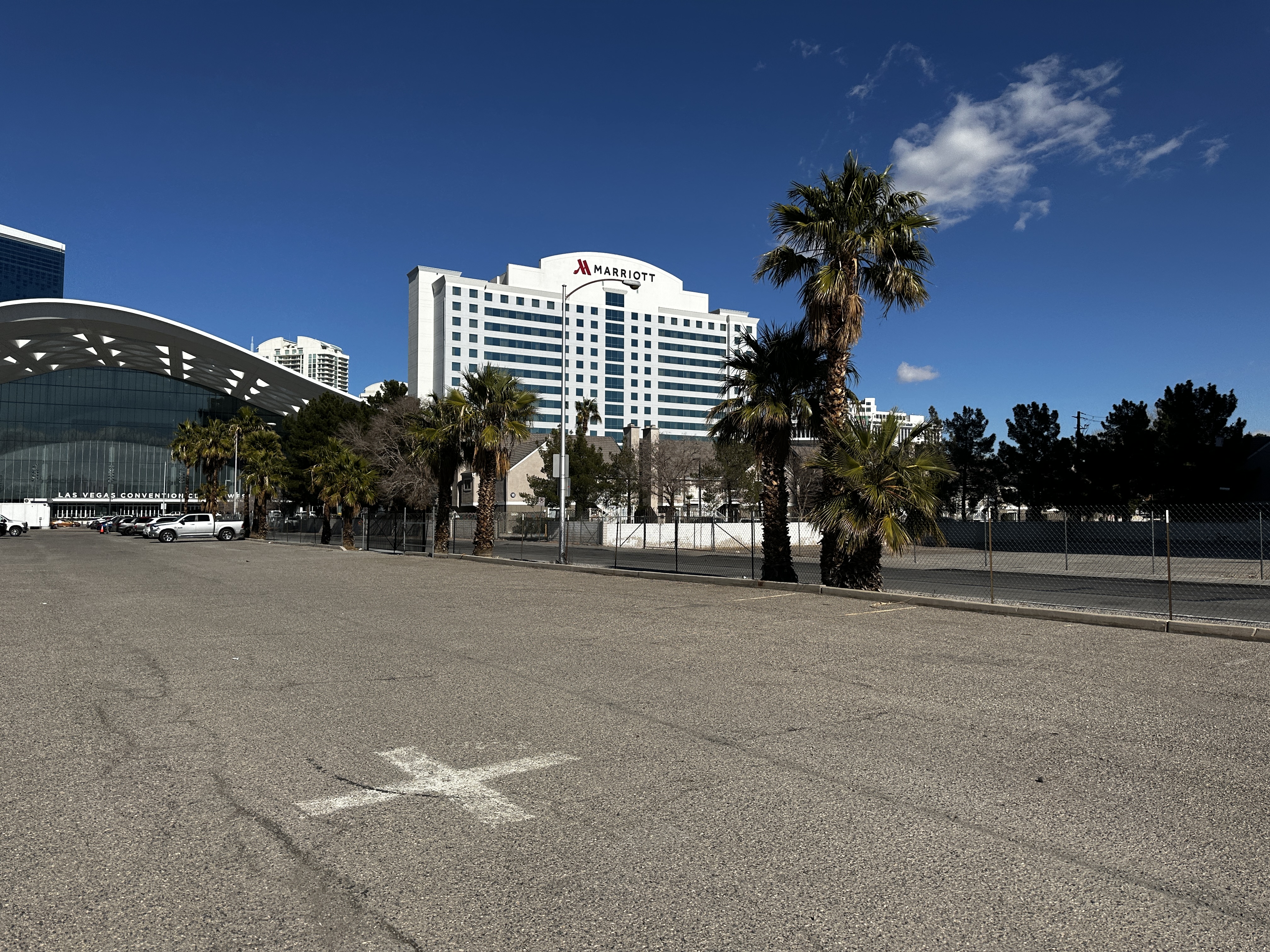
Diamondback Land Surveying completed an ALTA survey, providing comprehensive and precise property documentation. Our process began with in-depth research, where we meticulously reviewed land records, plats, and legal descriptions to ensure accuracy.
During the fieldwork, our team conducted precise measurements, carefully locating property corners and identifying all visible improvements on the site. In addition to these tasks, we utilized specialized equipment to perform line locates, successfully detecting and mapping underground utilities.
Project: SW Corner Convention Center
Location: Las Vegas, NV
Completion: 2024
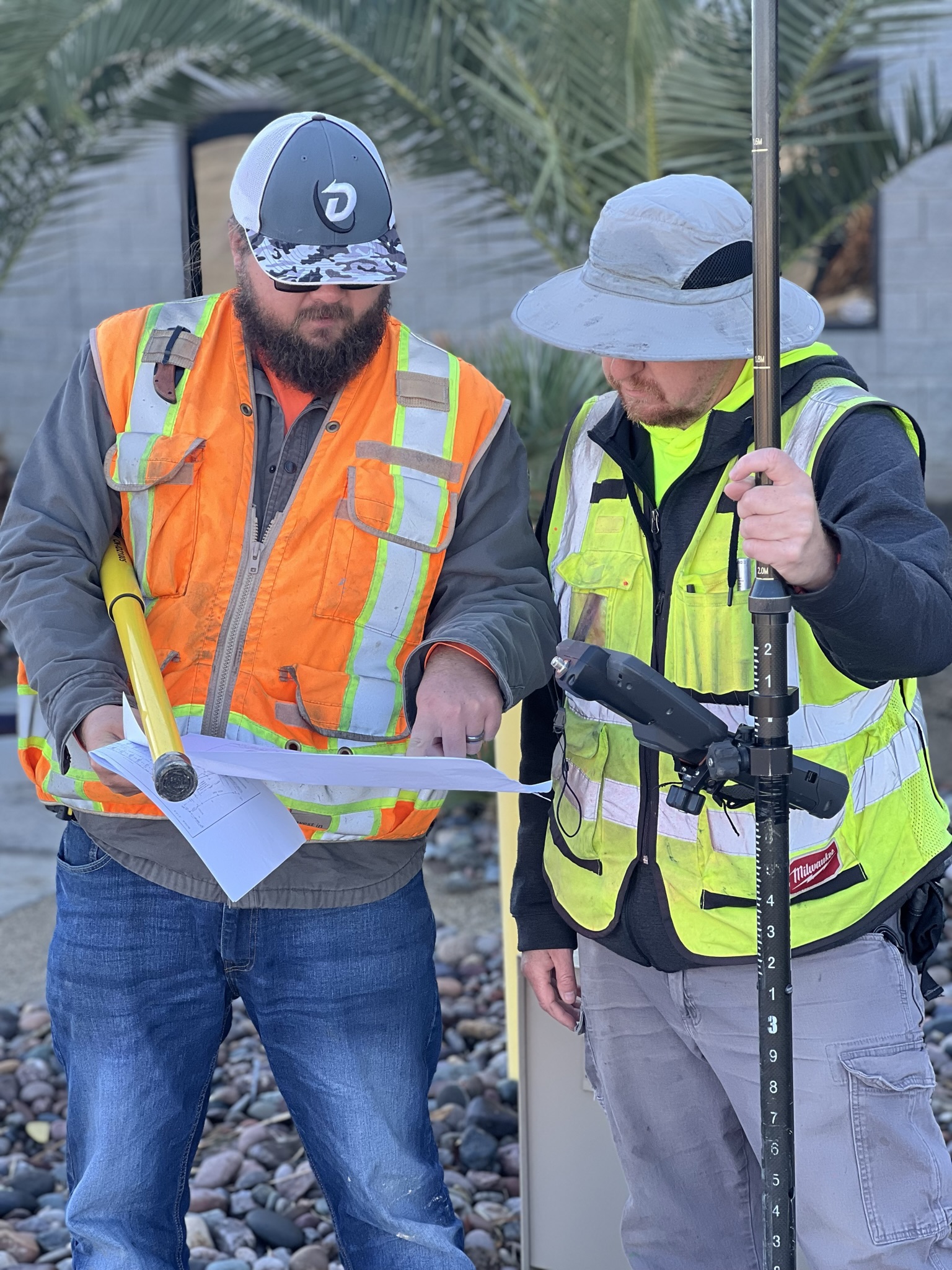
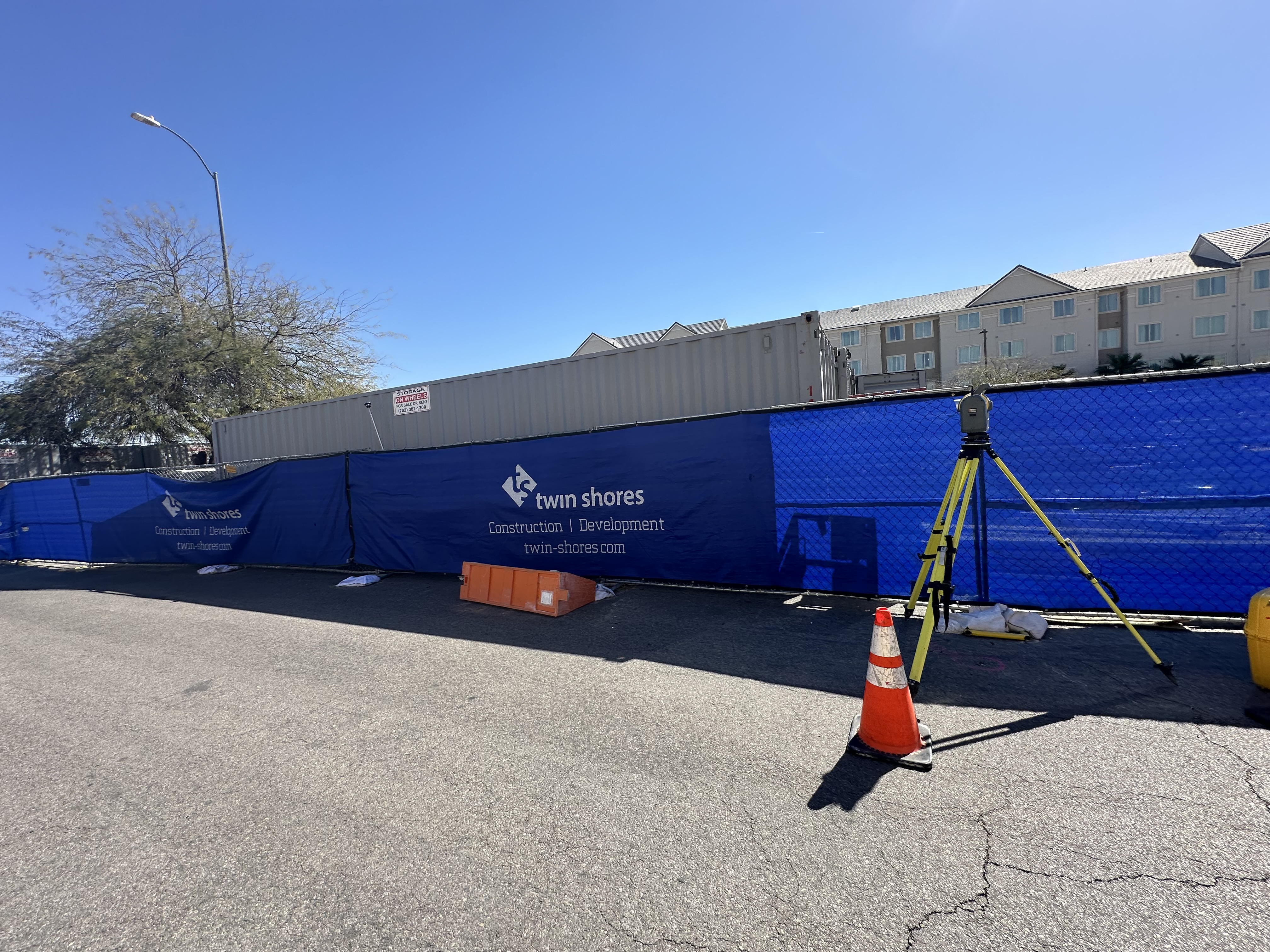
Diamondback Land Surveying completed an ALTA survey, providing comprehensive and precise property documentation. Our process began with in-depth research, where we meticulously reviewed land records, plats, and legal descriptions to ensure accuracy.
During the fieldwork, our team conducted precise measurements, carefully locating property corners and identifying all visible improvements on the site. In addition to these tasks, we utilized specialized equipment to perform line locates, successfully detecting and mapping underground utilities.
Project: Premium Outlet Mall
Location: Las Vegas, NV
Completion: 2024
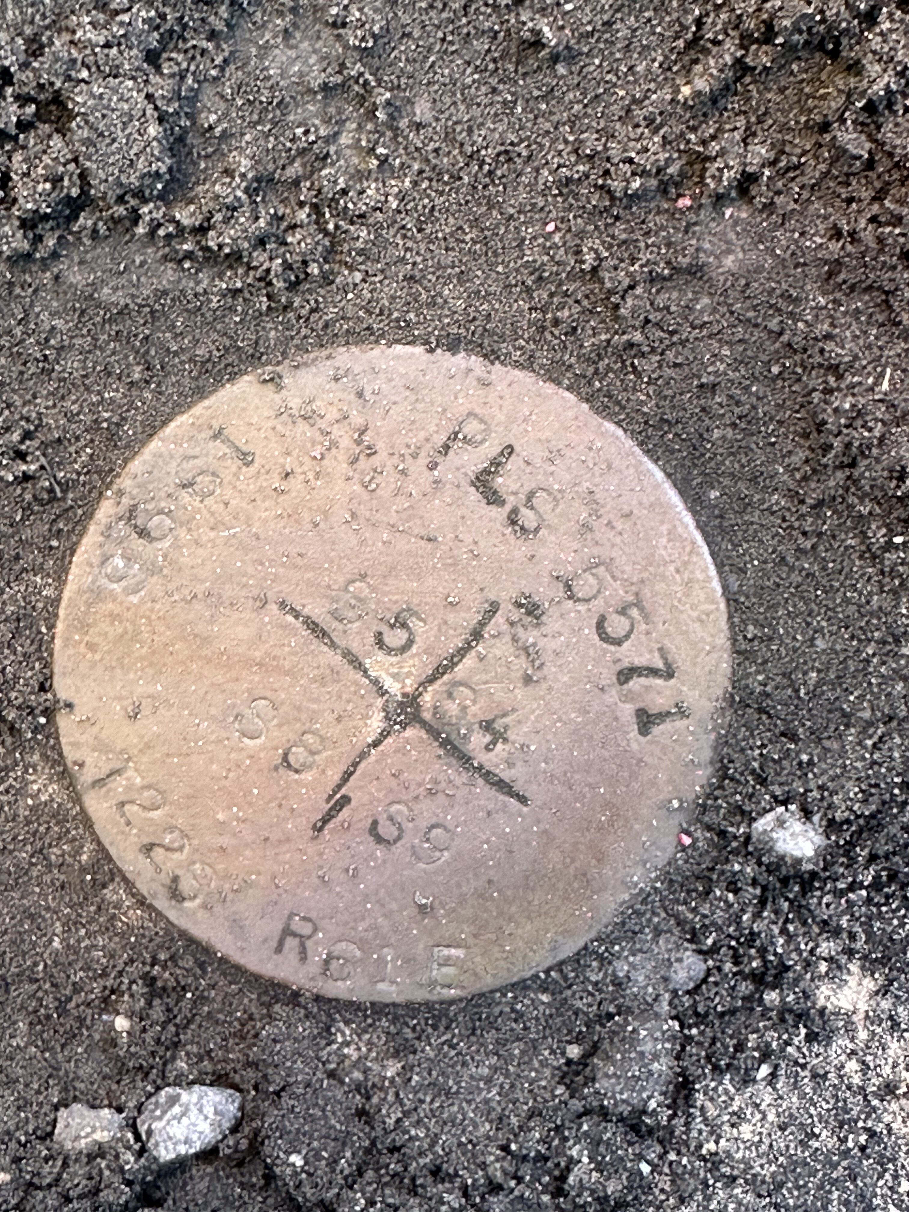
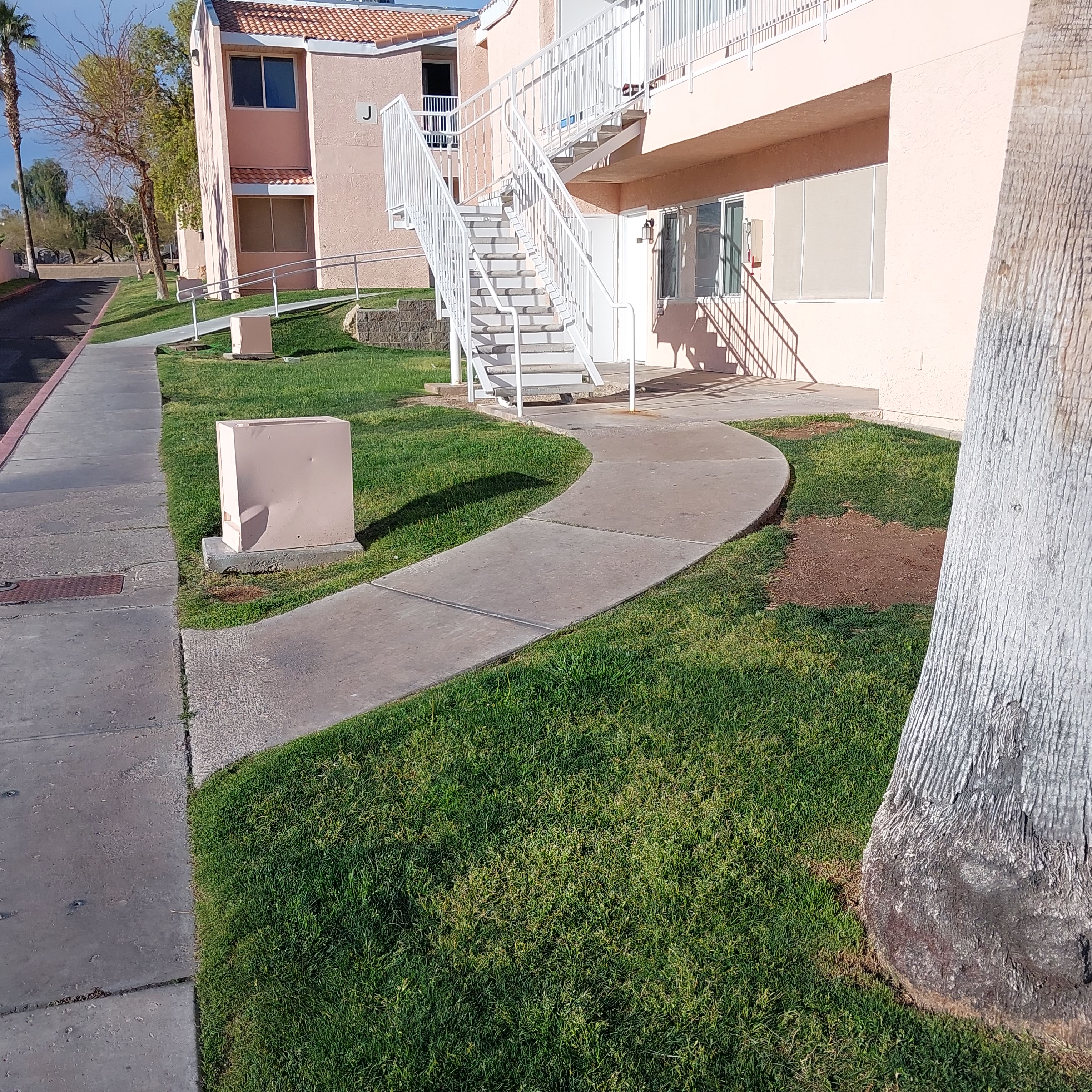
Diamondback Land Surveying conducted a comprehensive boundary and topographical survey on a 0.79-acre parcel of land. Our fieldwork involved establishing precise boundary control for the site and ensuring accurate delineation of property lines. During the topographical survey, we meticulously captured all critical site features, including structures, roadways, ground characteristics, and utility improvements, with the necessary overlap to support detailed engineering and design work in the south halk of the existing building for ADA redesign.
In addition to fieldwork, our office services included thorough research and acquisition of relevant record maps and documents. We processed the collected field data to produce detailed boundary and topographical base drawings, providing a reliable foundation for future project planning and development.
Project: Cal Edison Drive
Location: Las Vegas, NV
Completion: 2024
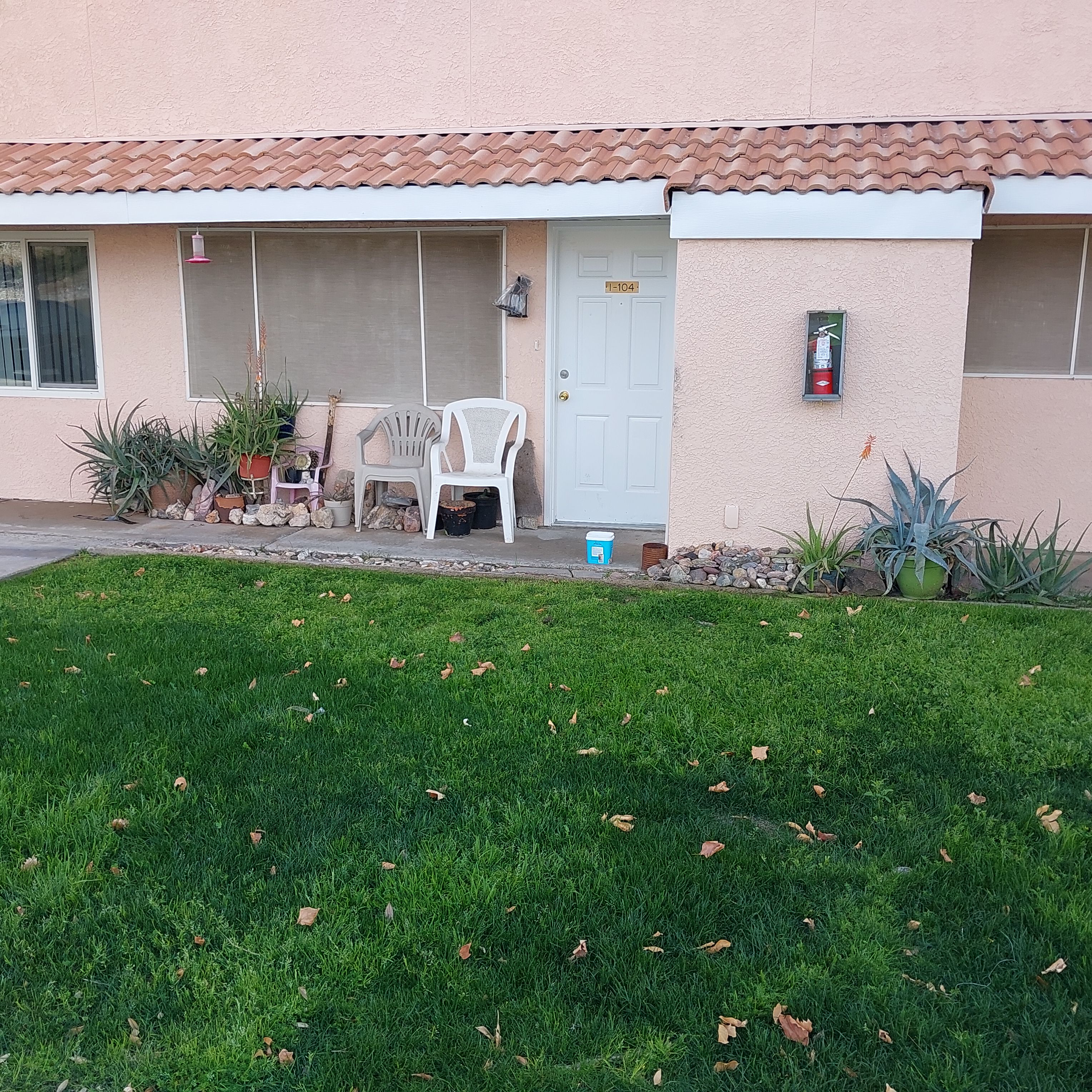
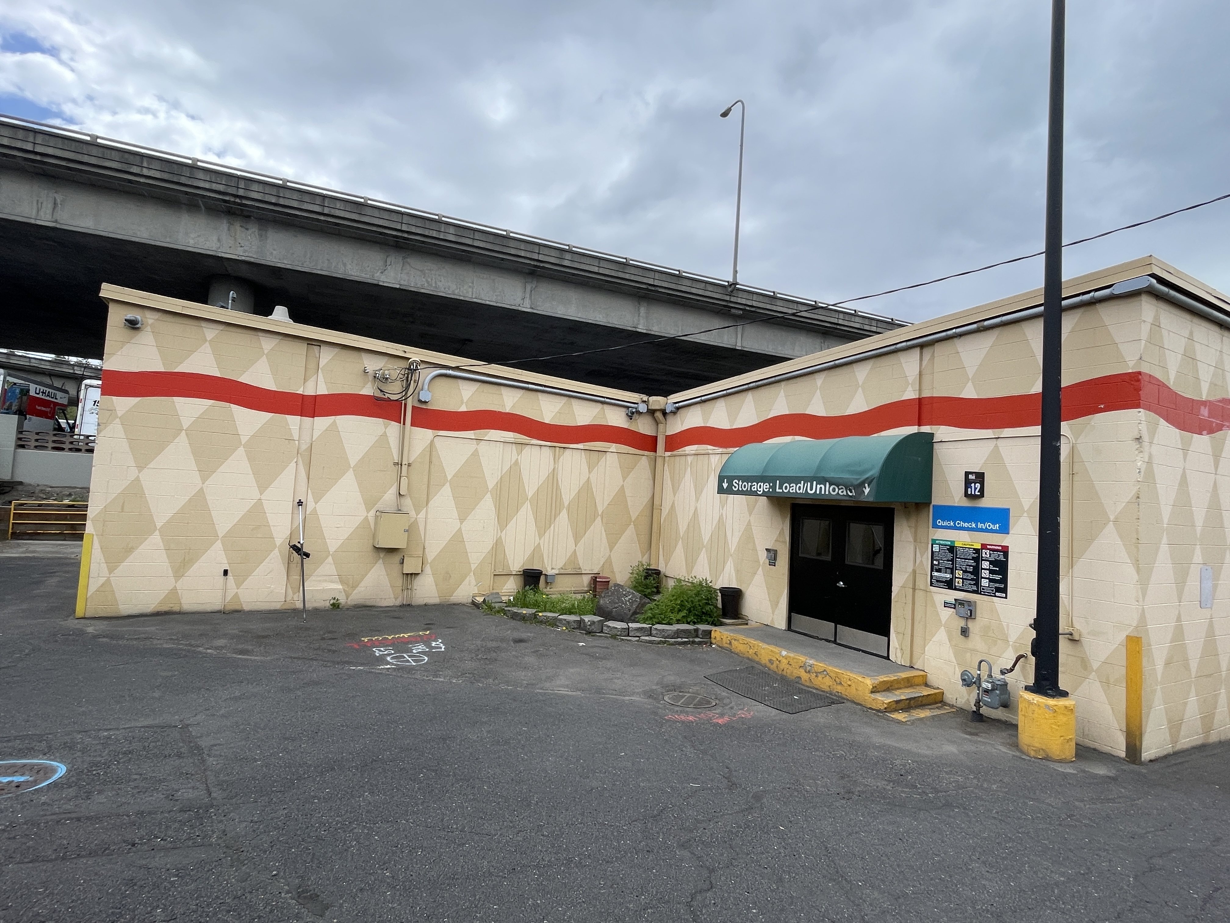
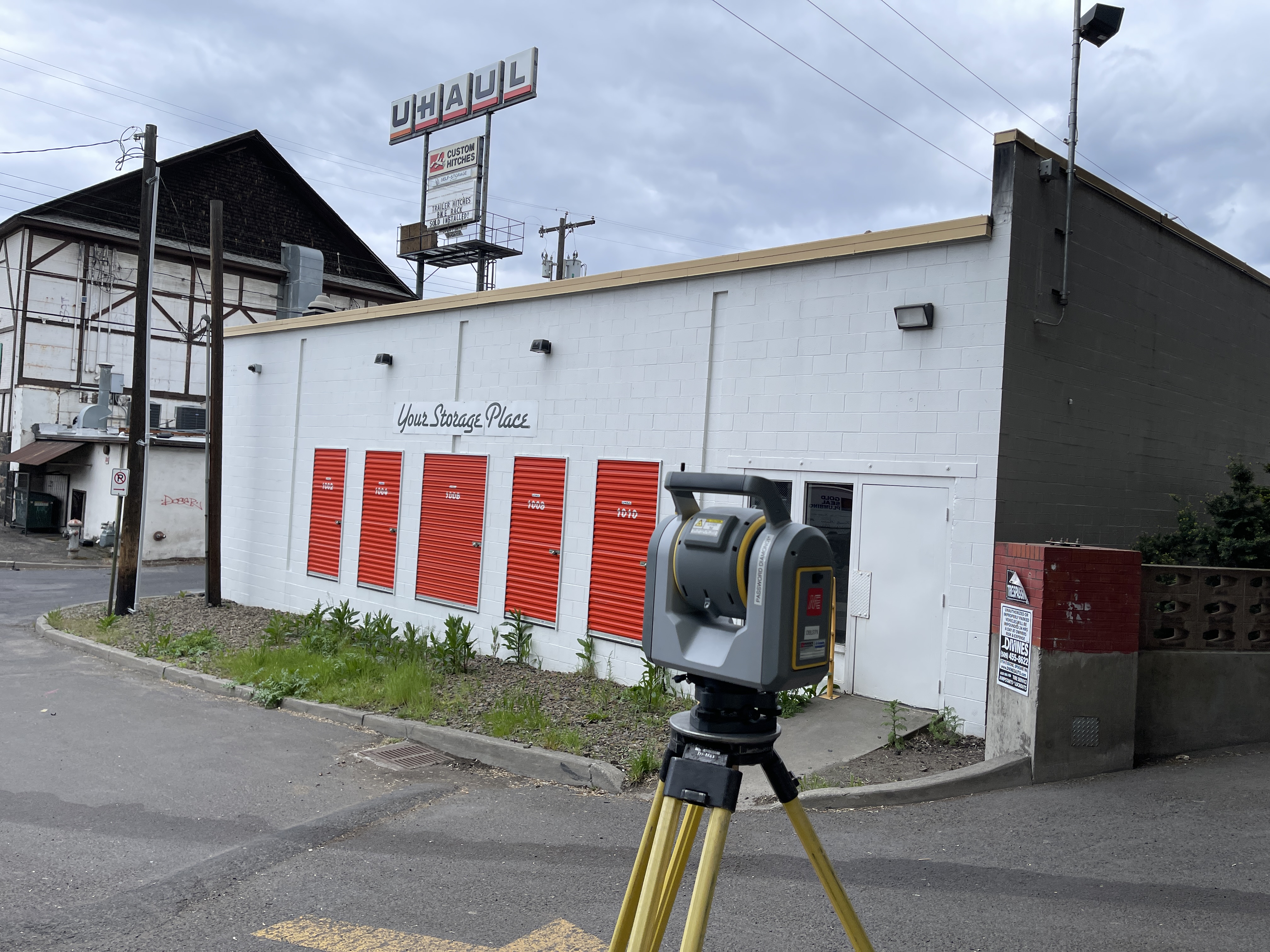
Diamondback Land Surveying completed an ALTA survey, providing comprehensive and precise property documentation. Our process began with in-depth research, where we meticulously reviewed land records, plats, and legal descriptions to ensure accuracy.
During the fieldwork, our team conducted precise measurements, carefully locating property corners and identifying all visible improvements on the site. In addition to these tasks, we utilized specialized equipment to perform line locates, successfully detecting and mapping underground utilities.
Project: 3 W 3rd Ave
Location: Spokane, WA
Completion: 2024
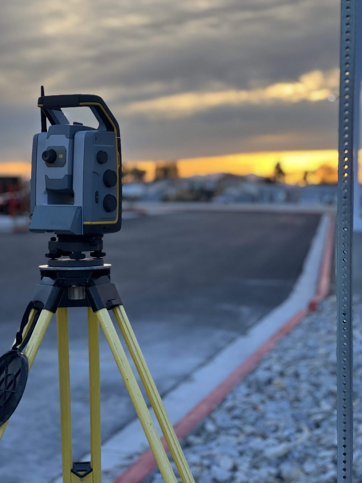
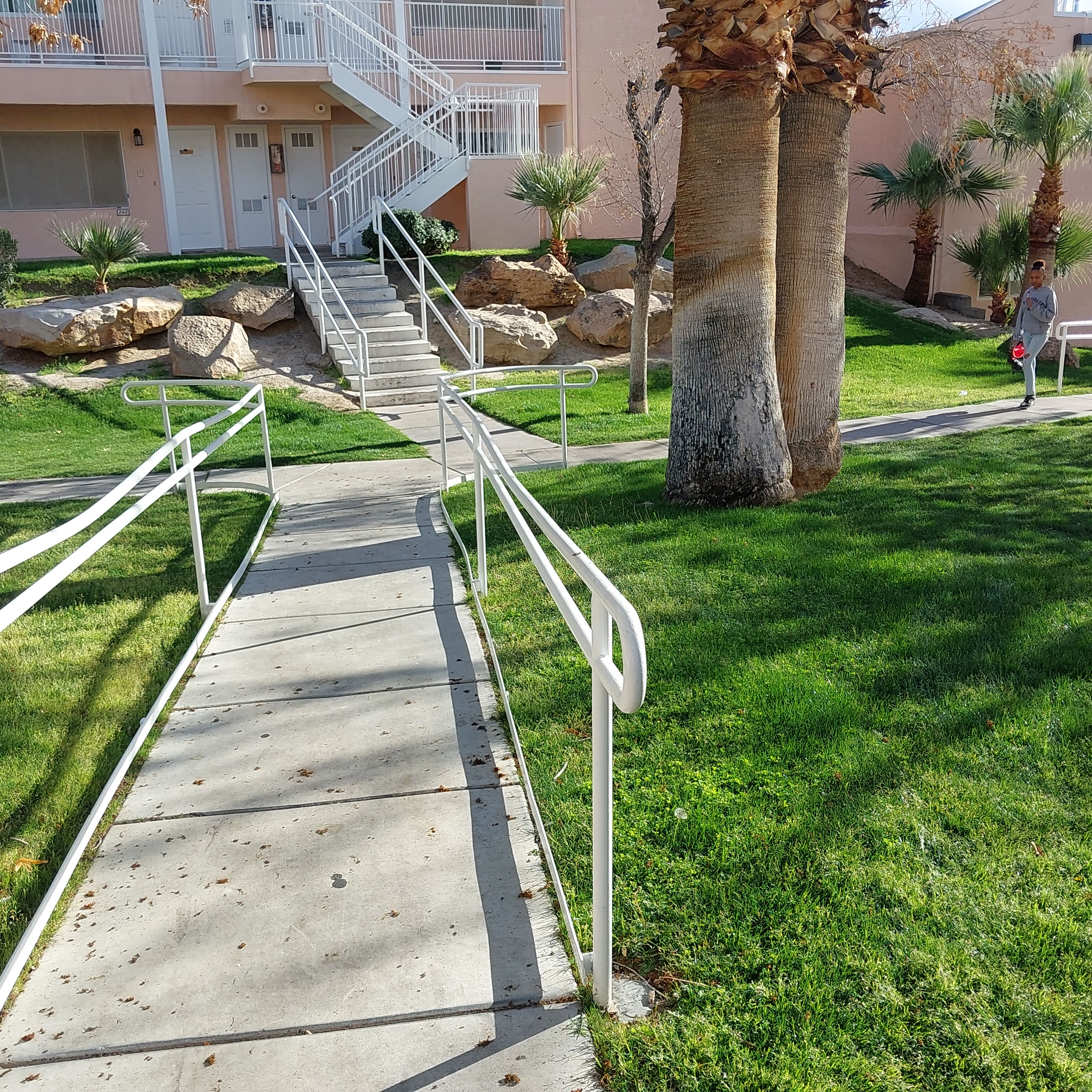
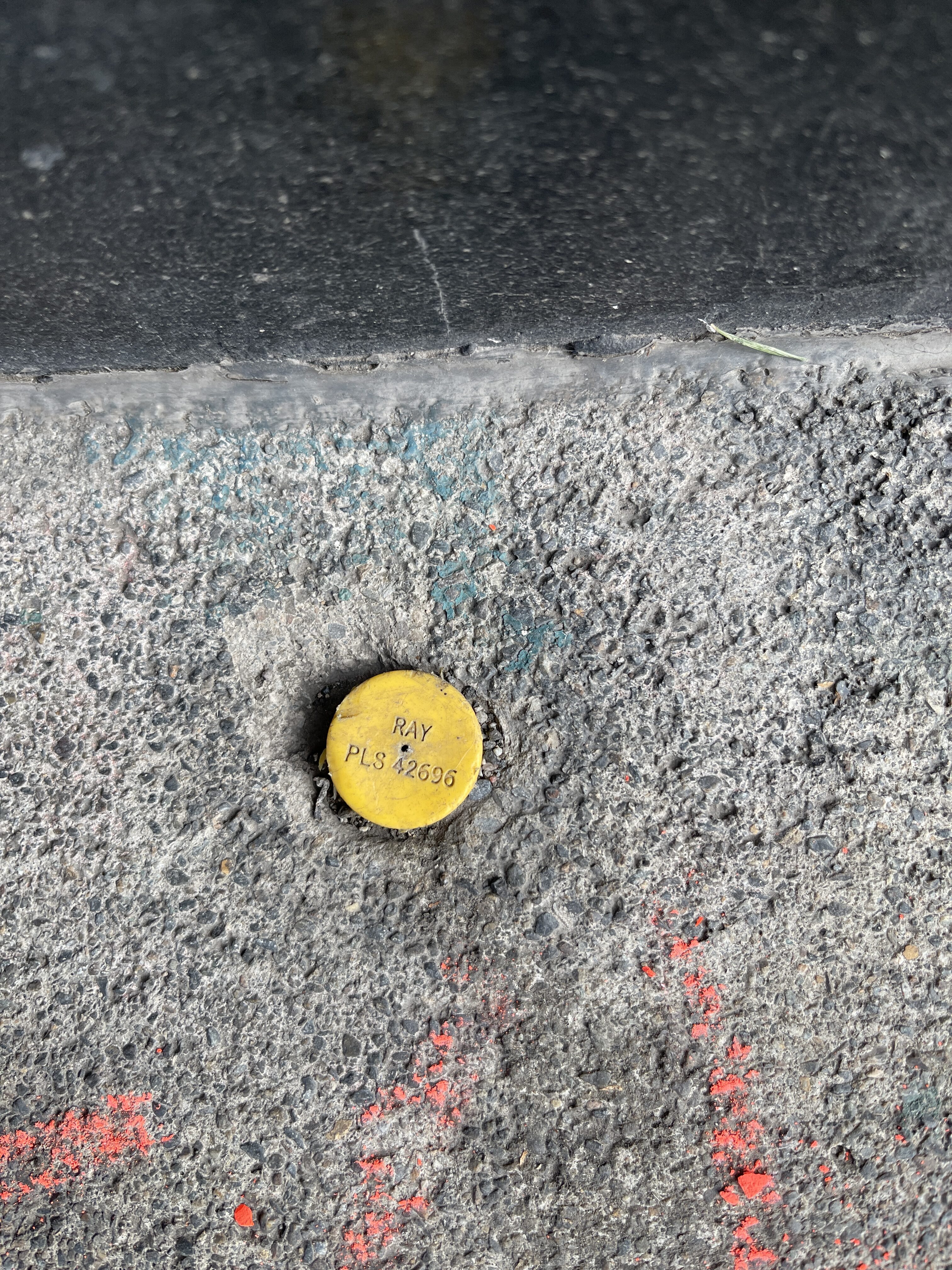
Diamondback Land Surveying conducted an ALTA/NSPS survey on approximately 1.28 acres. The fieldwork established boundary control for the site while obtaining precise measurements (hard shots) of all pertinent structures, roadways, visible ground features, and utility improvements, ensuring sufficient overlap for subsequent engineering design.
Our mapping and office services included researching and procuring available record maps and documents and reducing field data to deliver a comprehensive survey package. The ALTA/NSPS survey data for Table “A” items 1,2,3,4,5,6a,7a,7b1,7c,8,9,11b,13,14,16,17,19,20.