Diamondback Land Surveying completed a comprehensive boundary and topographic survey of a 20.2-acre portion of APN 139-23-506-005, providing critical mapping data to support future engineering and development efforts. Our team established precise boundary control and performed detailed field surveying to capture all pertinent site features, including structures, roadways, visible ground features, drainage elements, and utility improvements. To ensure complete project coverage and seamless integration with future design work, survey data was collected with an additional 100-foot overlap beyond the project limits, resulting in approximately 29.5 acres of mapped area.
To enhance efficiency and provide high-quality geospatial data across the large project site, Diamondback Land Surveying coordinated an aerial mapping flight, integrating aerial imagery and survey-grade data collection with traditional ground survey methods. This combined approach allowed for comprehensive site documentation while maintaining the accuracy required for engineering design. The project also included extensive records research, procurement of available maps and documents, reduction and processing of field and aerial data, and the preparation of a detailed boundary and topographic base map. Using advanced surveying technology, aerial mapping solutions, and experienced survey professionals, Diamondback delivered accurate, reliable survey data to support land development, infrastructure planning, and engineering design.
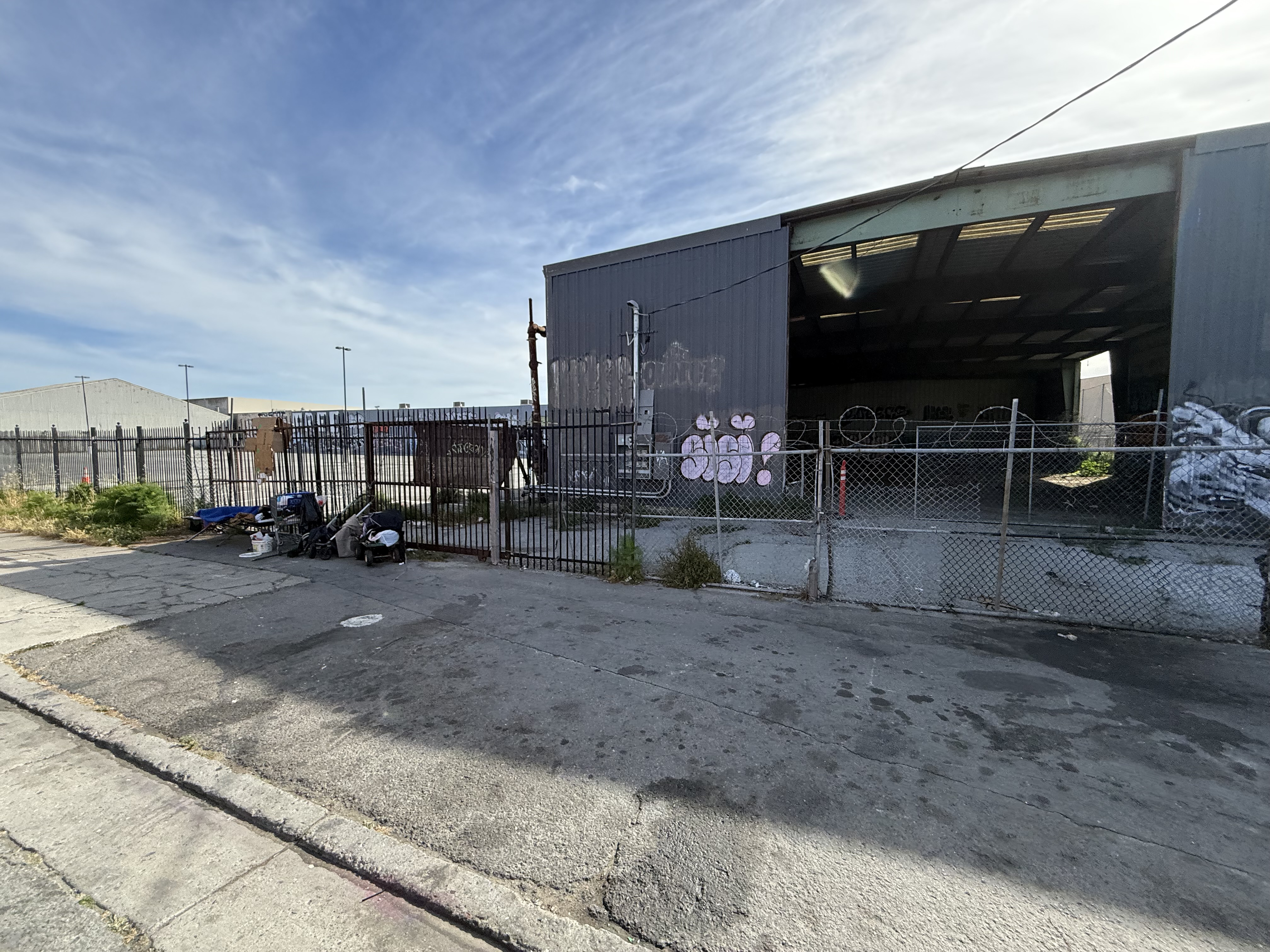
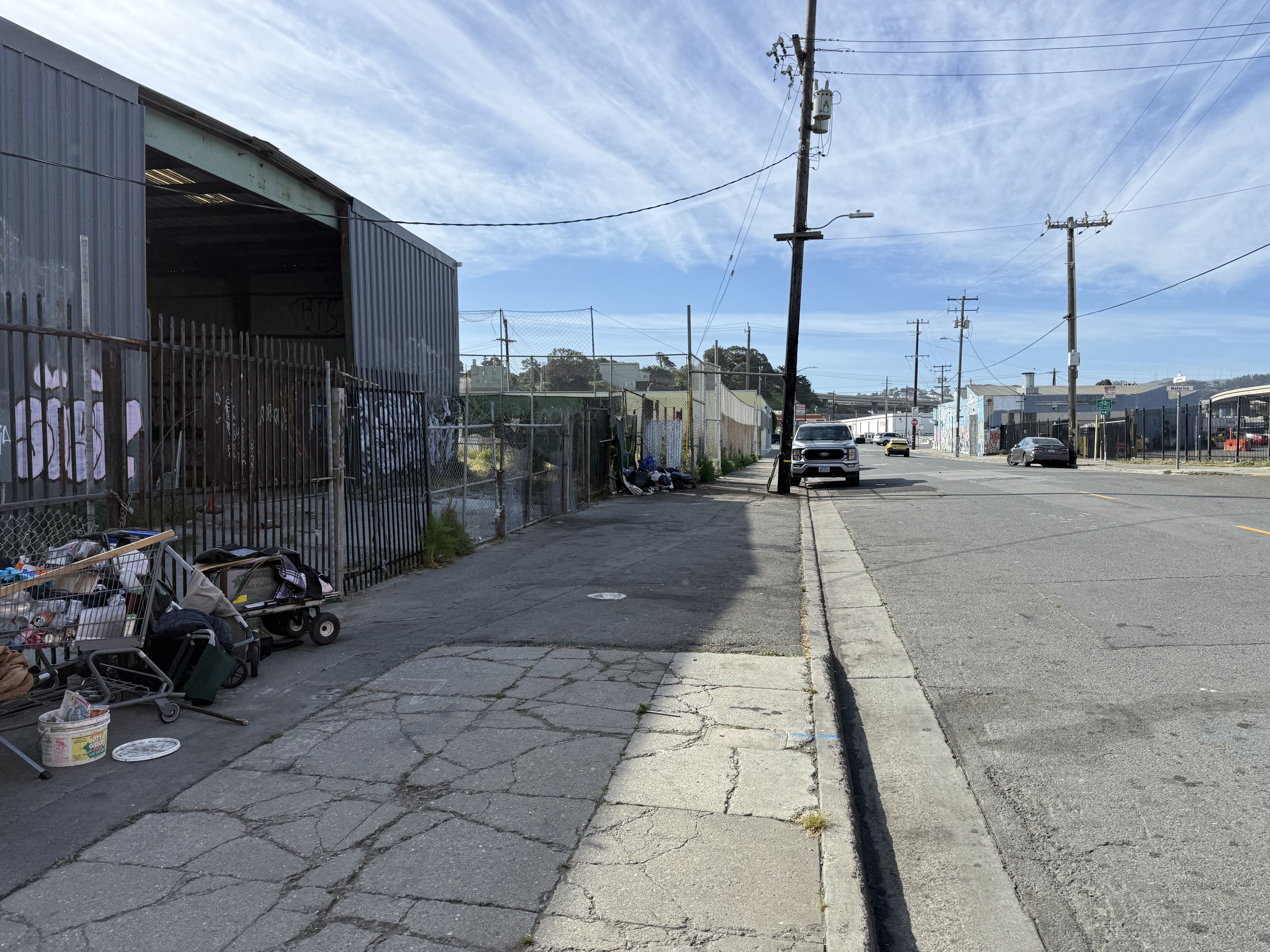
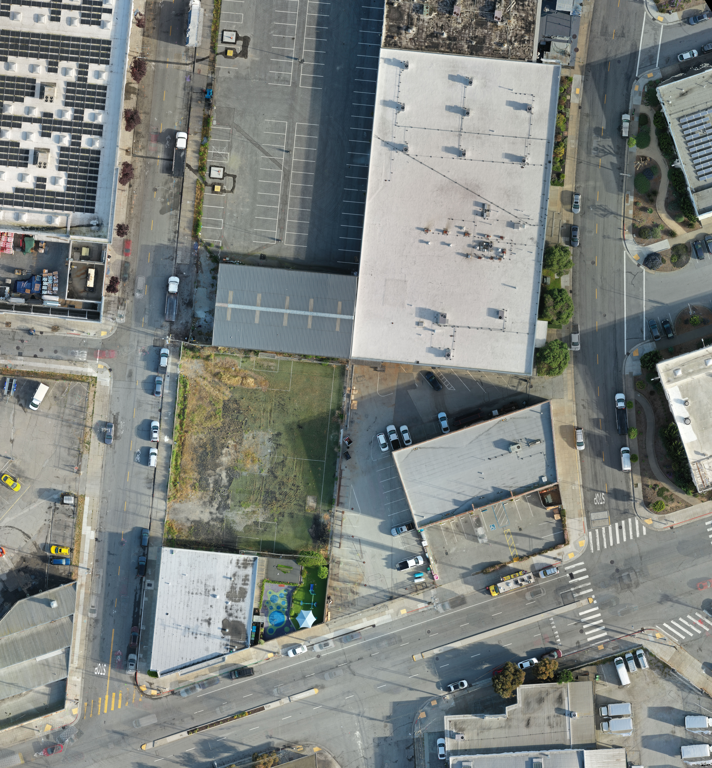
Project: Loomis St
Location: San Francisco, CA
Diamondback Land Surveying completed a comprehensive boundary and topographic survey for portions of APNs 5583-014 and 5583-010, encompassing approximately 0.8 acres. The project included establishing precise boundary control and collecting detailed topographic data on all pertinent site features, including structures, roadways, visible ground features, utility improvements, and other critical elements required to support future engineering and development plans. To further enhance the accuracy and efficiency of data collection, Diamondback Land Surveying utilized its in-house drone technology to capture high-resolution aerial imagery and provide a detailed aerial overview of the project site, delivering valuable geospatial information to complement traditional survey methods.
In addition to field surveying services, Diamondback coordinated private utility locating services to identify and map subsurface utilities within the survey limits, helping provide a more complete understanding of existing site conditions. The project also involved extensive records research, procurement of available maps and documents, reduction and processing of field and aerial data, and preparation of a detailed boundary and topographic base map. As part of the due diligence process, Diamondback provided two title reports to support a 60-year easement search, helping the client identify historical easement information relevant to the property. Through the integration of advanced surveying technology, drone mapping, utility coordination, and comprehensive research, Diamondback Land Surveying delivered accurate and reliable data to support engineering design, land development, and informed project planning.
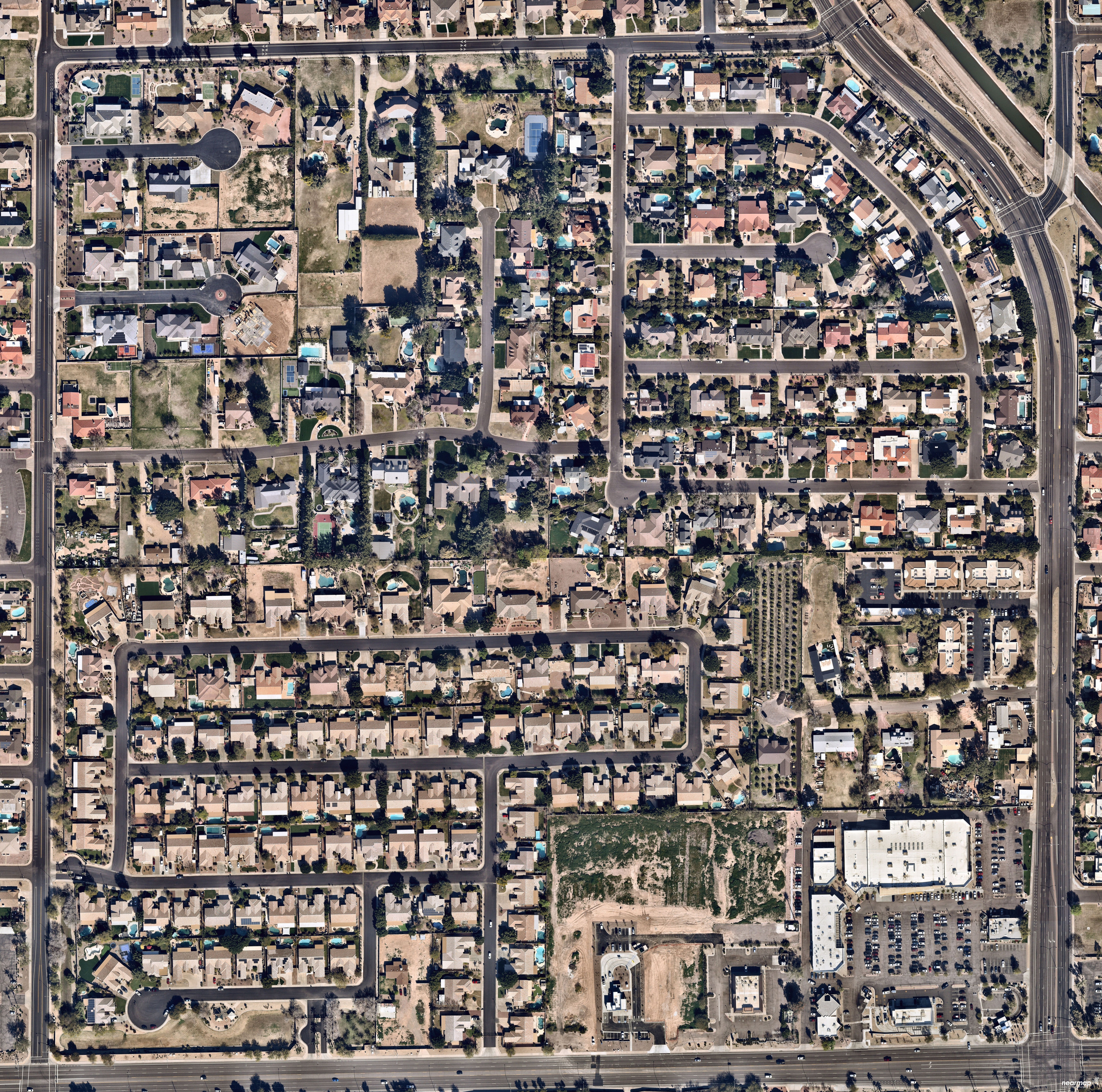
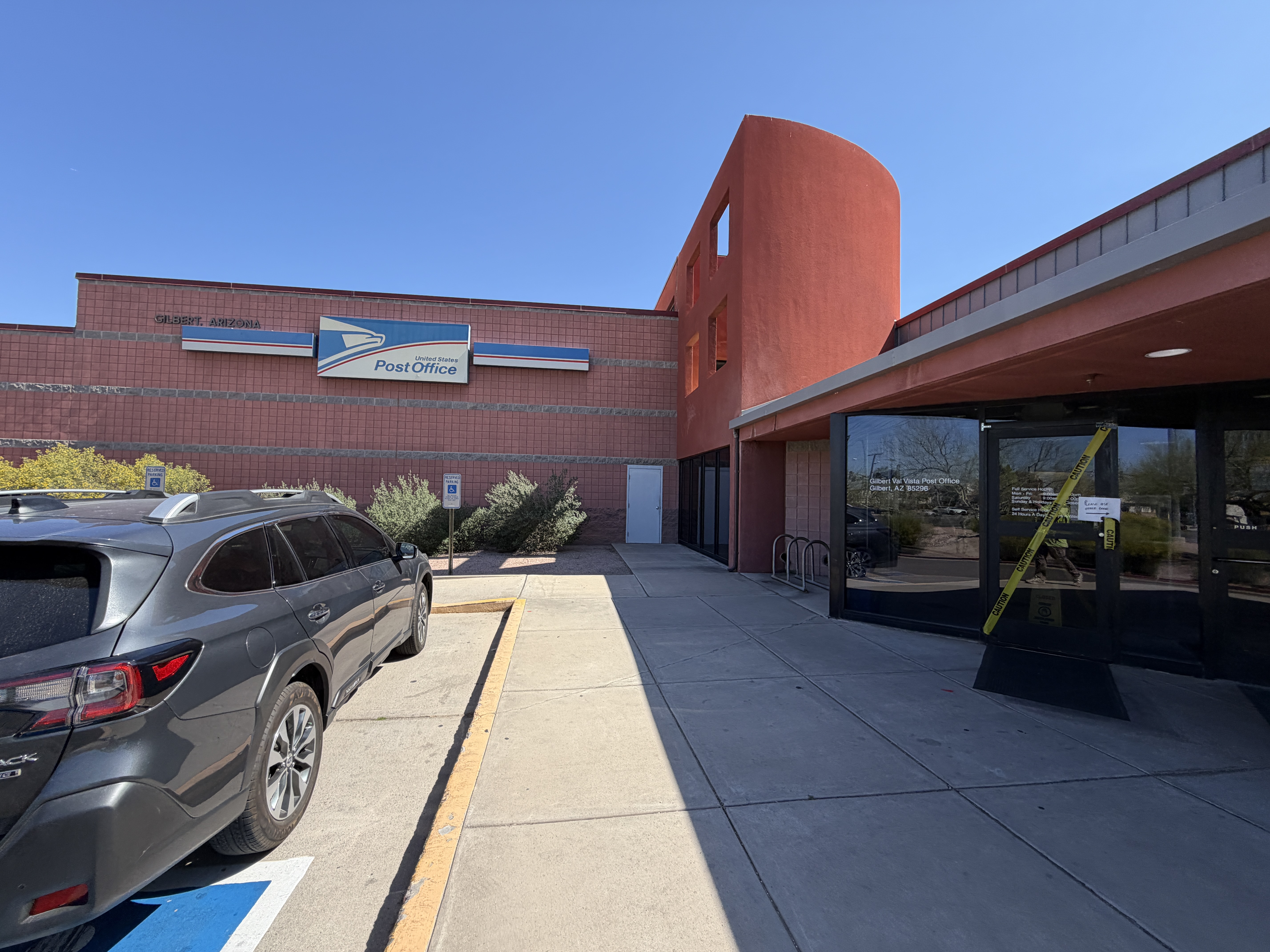
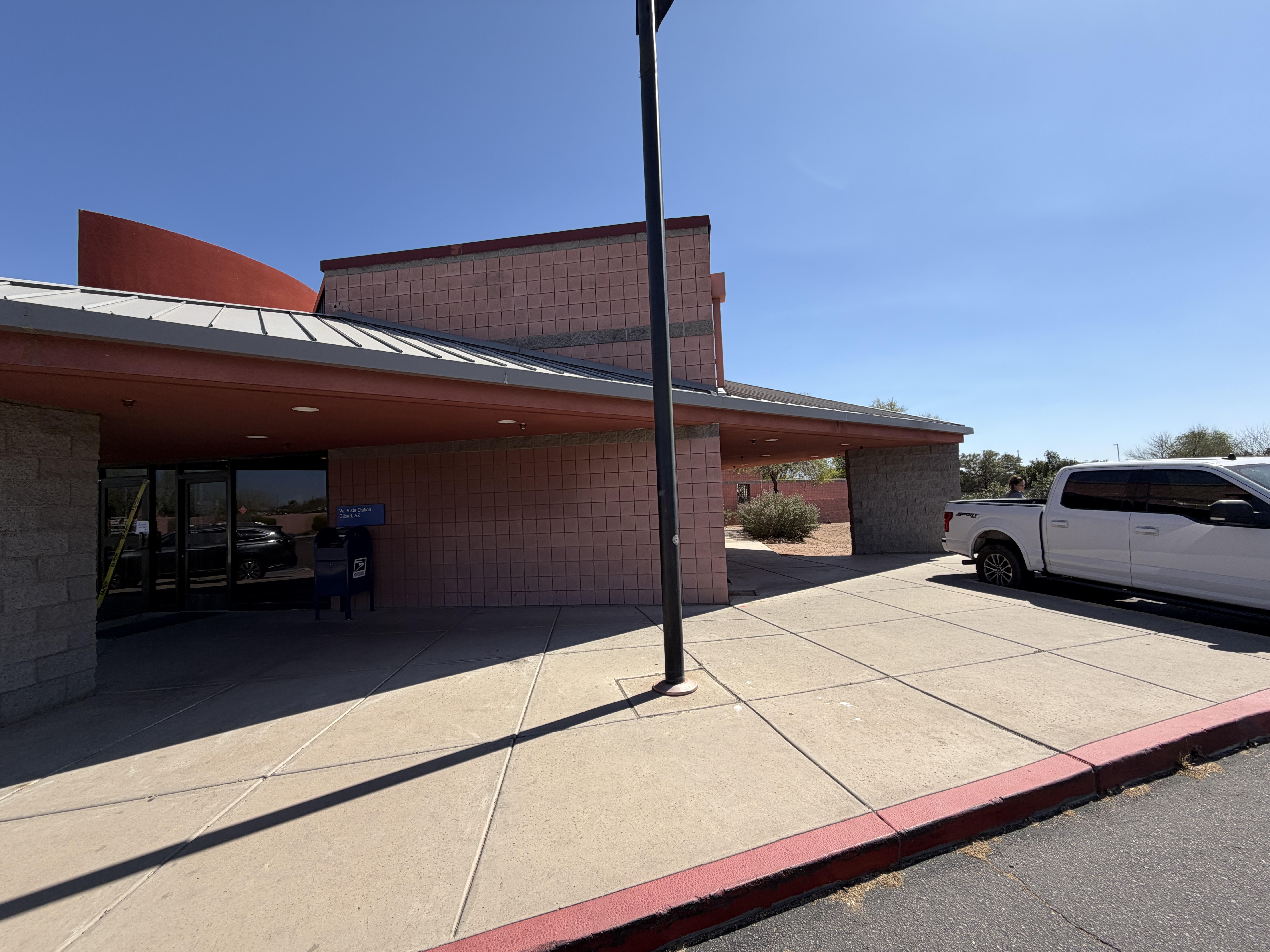
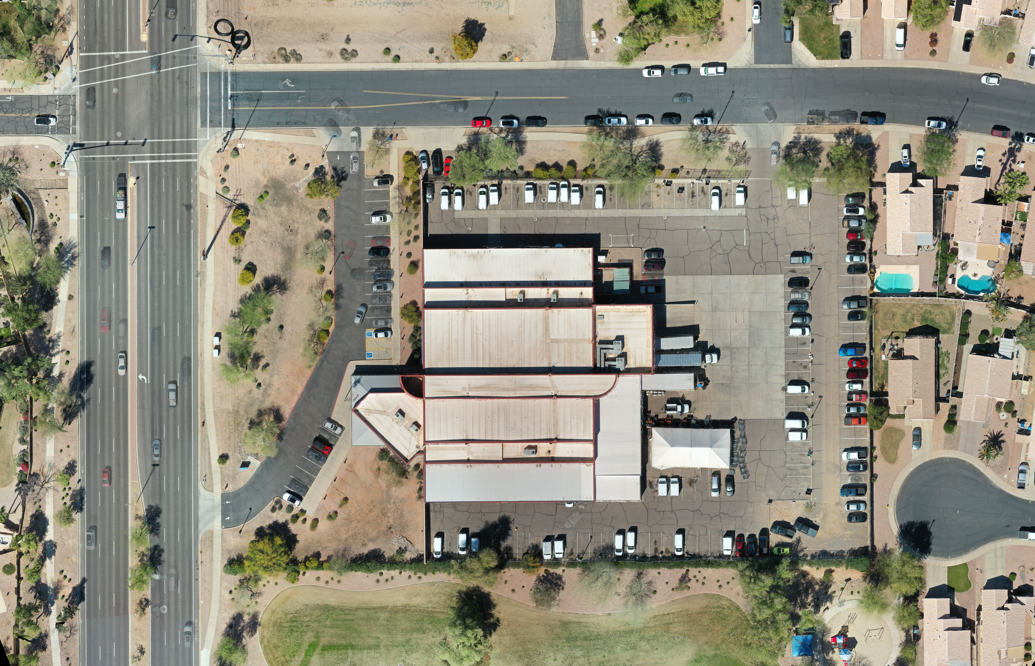
Project: Val Vista Drive
Location: Gilbert, AZ
Diamondback Land Surveying provided comprehensive boundary, topographic, and utility mapping, as well as aerial surveying services for APN 30421003G, a 3.67-acre site with approximately 5.0 acres of surrounding coverage included to meet the client’s engineering design requirements. Our field crews established boundary control and collected detailed topographic data, capturing all pertinent structures, roadways, visible ground features, and utility improvements throughout the project area.
To support accurate utility mapping, Diamondback coordinated private utility line-locating services to identify and mark all traceable underground utilities using signal-transmitter technology, enabling mapping to SUE Level B standards. The project also included extensive office services, such as research and procurement of available record maps and documents, field data processing, and the development of a comprehensive boundary and topographic base drawing. To further enhance project accuracy and efficiency, Diamondback utilized its in-house drone program to capture high-resolution aerial imagery of the site, providing valuable visual documentation and supplemental mapping data for the final deliverables.
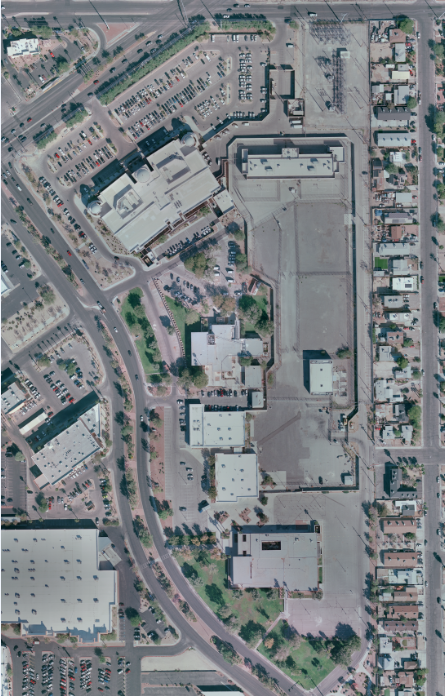
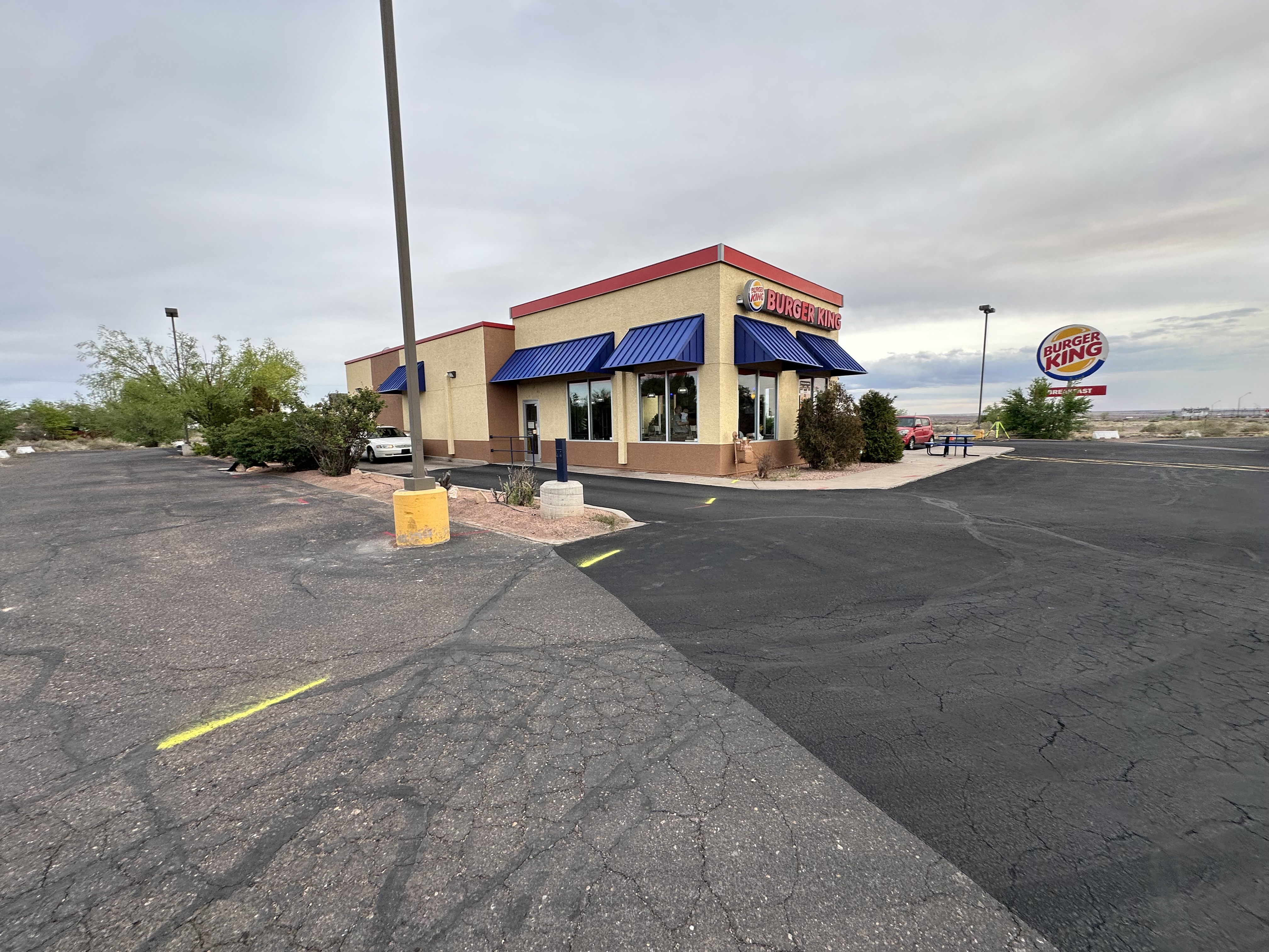
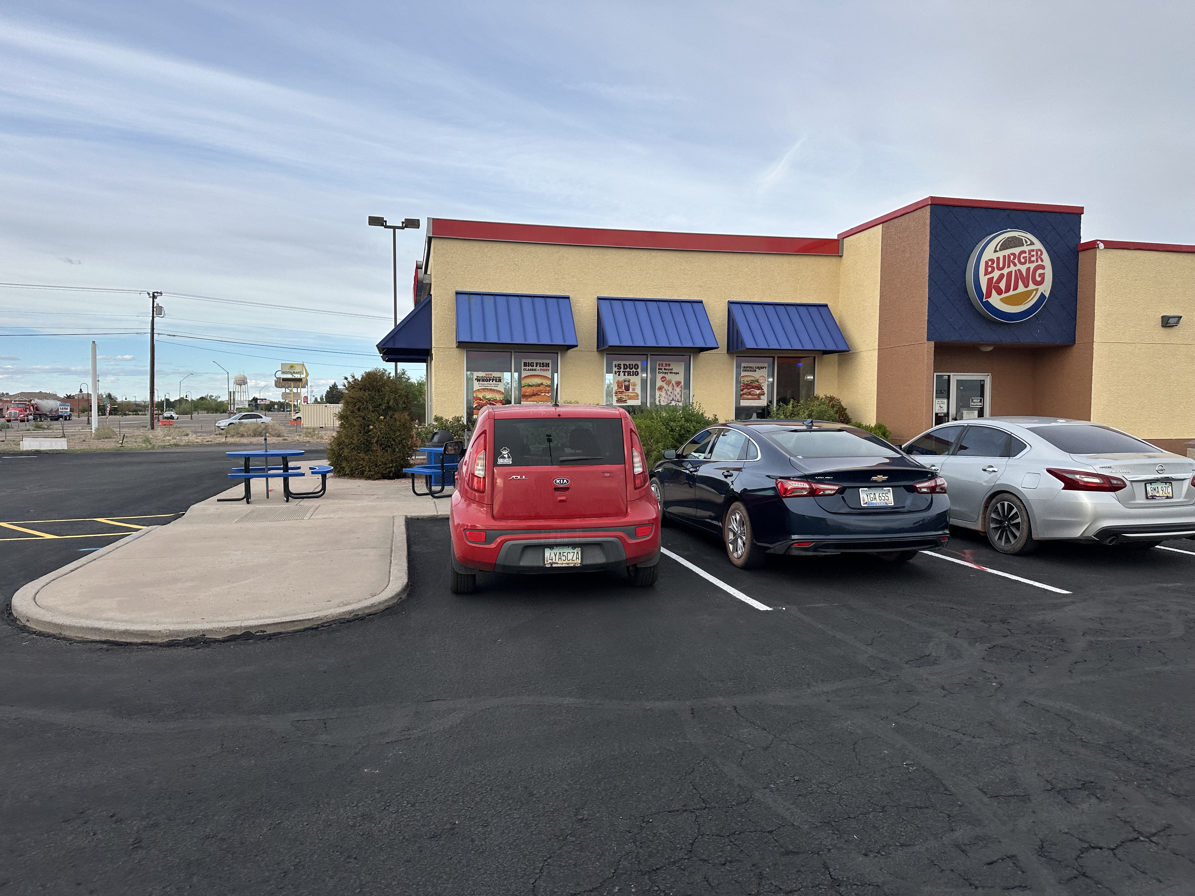
Project: Navajo Blvd
Location: Holbrook, AZ
Diamondback Land Surveying provided comprehensive boundary, topographic, utility mapping, and aerial surveying services for a portion of APN 109-37-010C, encompassing approximately 2.0 acres. The project included establishing boundary control and performing a detailed topographic survey to collect critical information on existing structures, roadways, visible ground features, and utility improvements necessary to support future engineering design. To enhance the accuracy of subsurface utility information, Diamondback coordinated with a private utility locator to identify and map traceable underground utilities within the project limits, excluding utilities located within public right-of-way roadways.
In addition to field services, our team conducted extensive research and procured available record maps and documents, and processed and reduced field-collected data. It developed a comprehensive boundary and topographic base map for design use. The project also included preparing a title report for a 40-year easement search to assist with project planning and due diligence. To further support the project, Diamondback utilized its in-house drone program to capture high-resolution aerial imagery, providing valuable site documentation and supplemental mapping data that enhanced the overall deliverables.
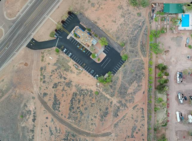
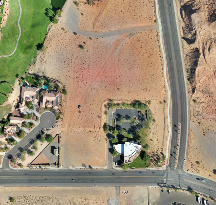
Project: Oasis Boulevard
Location: Mesquite, NV
Diamondback Land Surveying provided comprehensive ALTA/NSPS land title survey services for APNs 001-09-201-016 and 001-09-201-017, totaling approximately 12.41 acres. The project included establishing boundary control and performing detailed field surveying to capture all pertinent structures, roadways, visible ground features, and utility improvements necessary to support future engineering design. To ensure complete site coverage, the survey extended approximately 100 feet beyond the property boundaries, resulting in a mapped area of approximately 23.3 acres.
In addition to field services, Diamondback conducted extensive research and procurement of available record maps and documents, processed and reduced survey data, and prepared a final ALTA/NSPS Survey in accordance with ALTA standards. To further enhance project accuracy and provide valuable site documentation, Diamondback utilized its in-house drone program to capture high-resolution aerial imagery, which supplemented the survey deliverables and provided a comprehensive view of the project area.