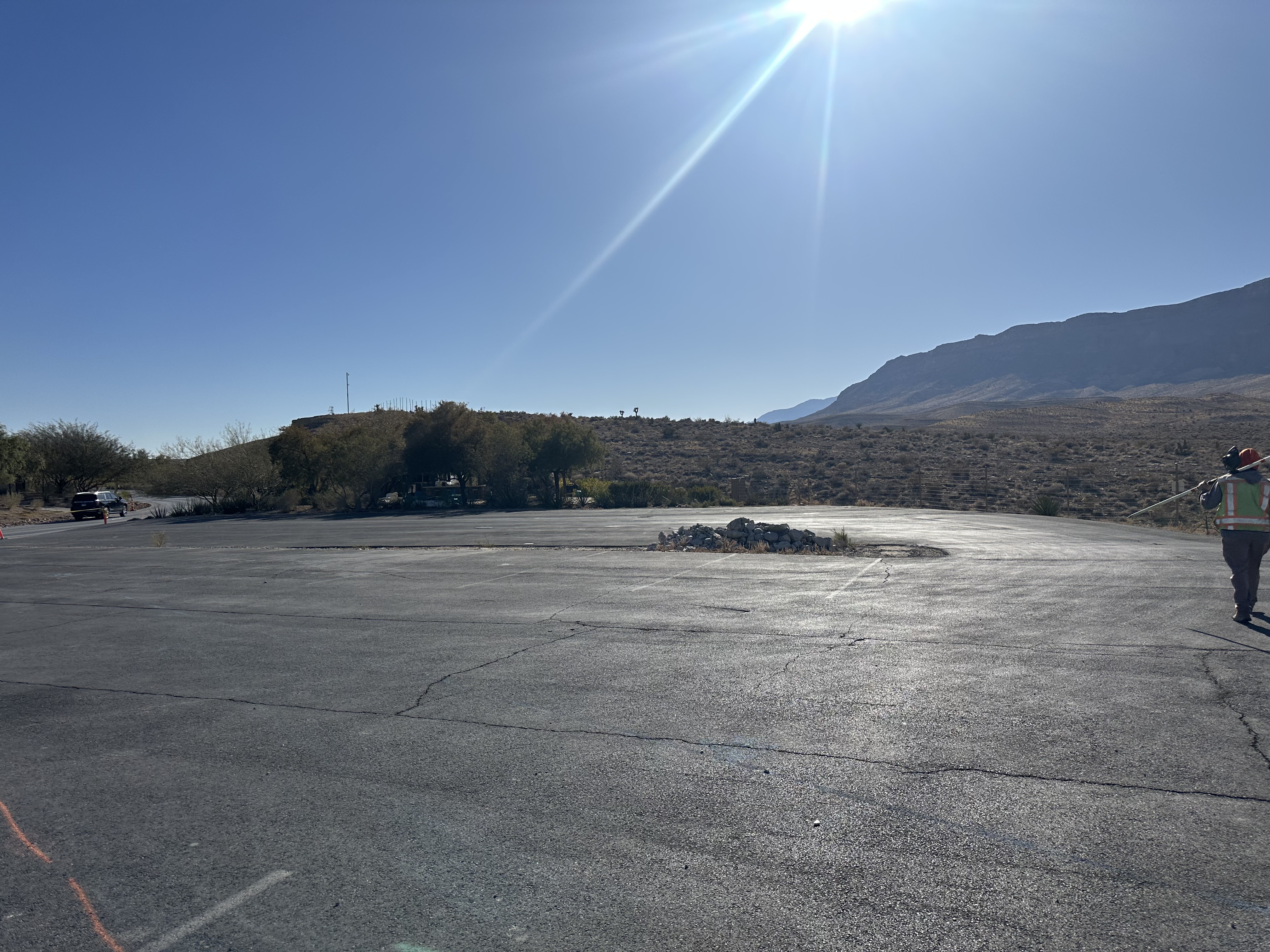
Diamondback Land Surveying Crews conducted a comprehensive Boundary and Topographic survey on a designated portion of an APN. The fieldwork focused on capturing precise measurements of all relevant structures, roadways, visible ground features, and utility improvements, ensuring sufficient overlap for future engineering design needs. Diamondback Land Surveying also laid out panels for aerial/drone flights.
Our office services included extensive research and procurement of available record maps and documents, culminating in the creation of a detailed boundary and topographical drawing that meets industry standards and client specifications.
Project: Industrial Road
Location: Boulder City, NV
Completion: 2025
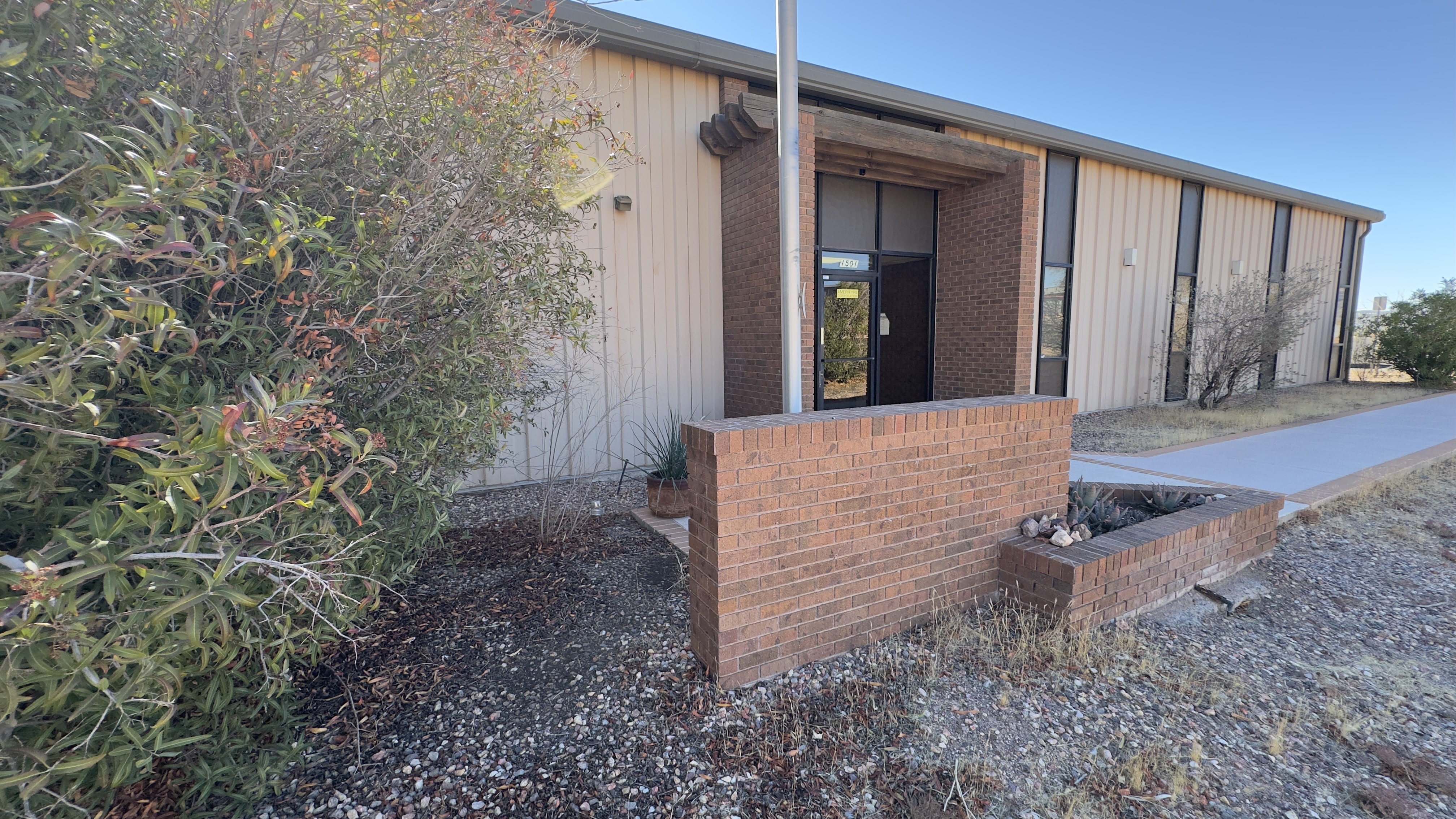
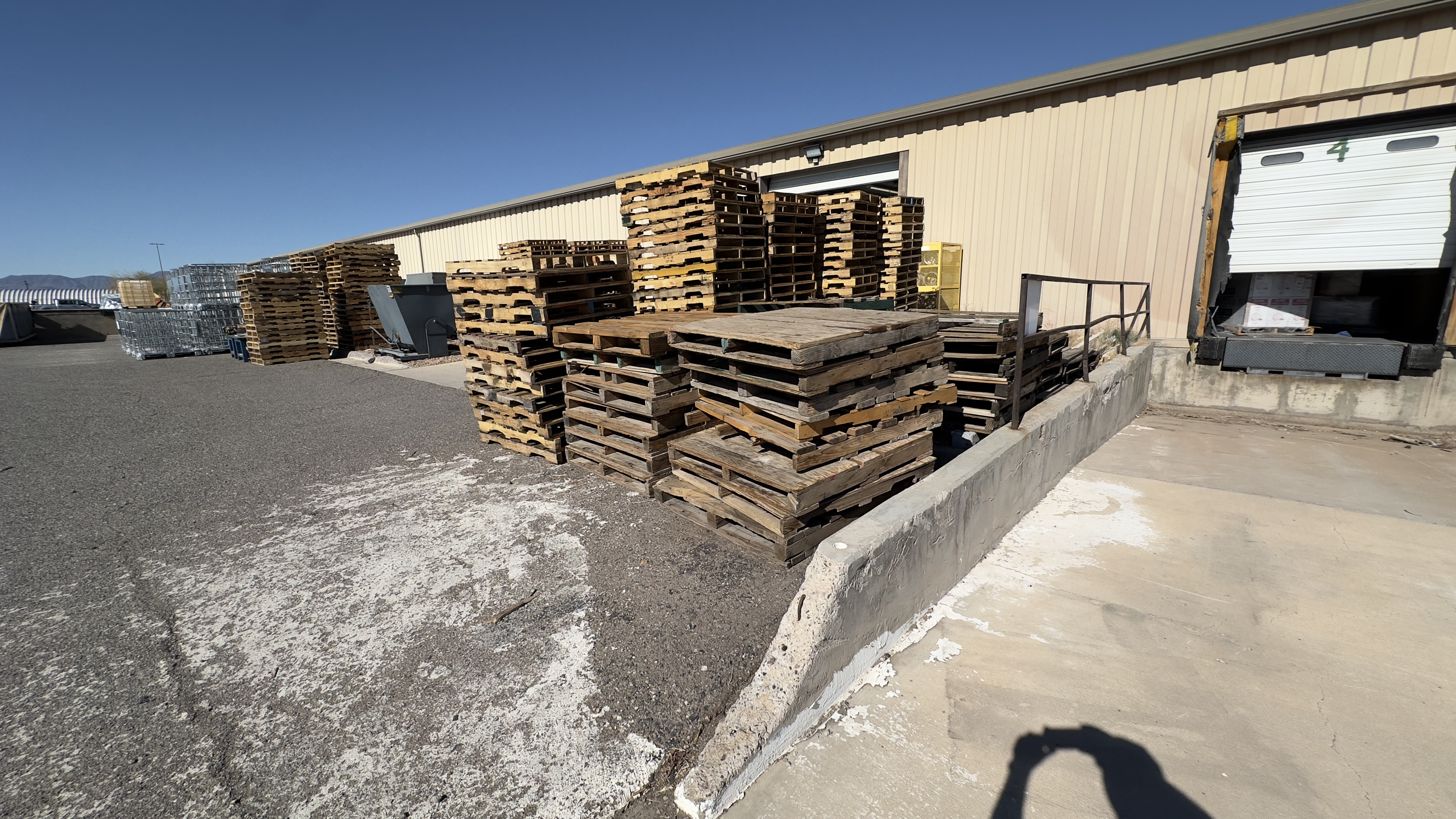
Diamondback Land Surveying Crews conducted a comprehensive Boundary and Topographic survey on a designated portion of an APN. The fieldwork focused on capturing precise hard shots of all pertinent structures, roadway, visible ground features, and utility improvements with sufficient overlap needed for subsequent Engineering design. Diamondback Land Surveying also sets panels for drone control over the parcel so that we can conduct drone flights.
Our office services included extensive research and procurement of available record maps and documents, culminating in the creation of a detailed boundary and topographical drawing combining in-field topo shots with drone data that meets industry standards and client specifications.
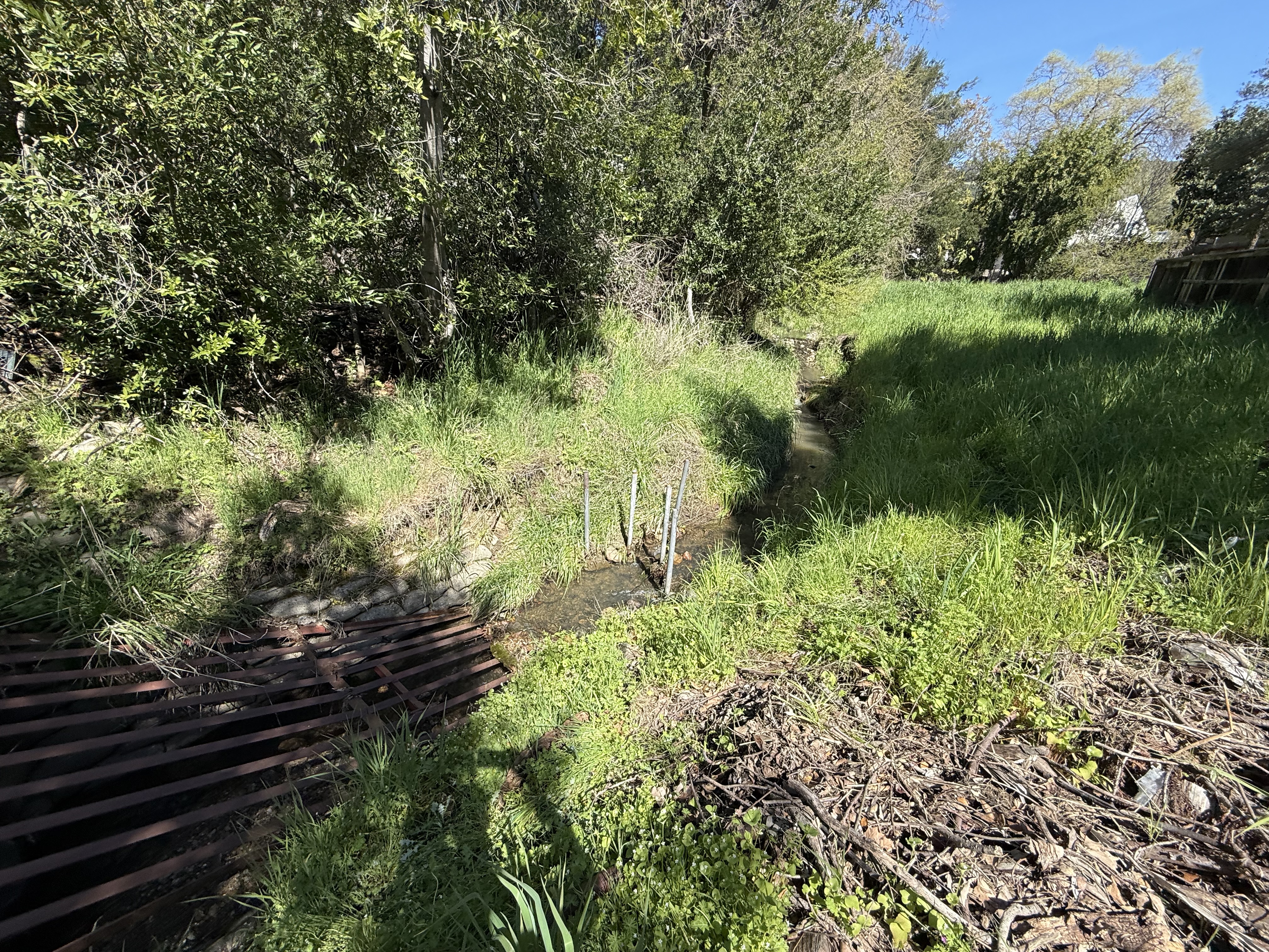
Project: Witchcraft Ct
Location: Las Vegas, NV
Completion: 2025
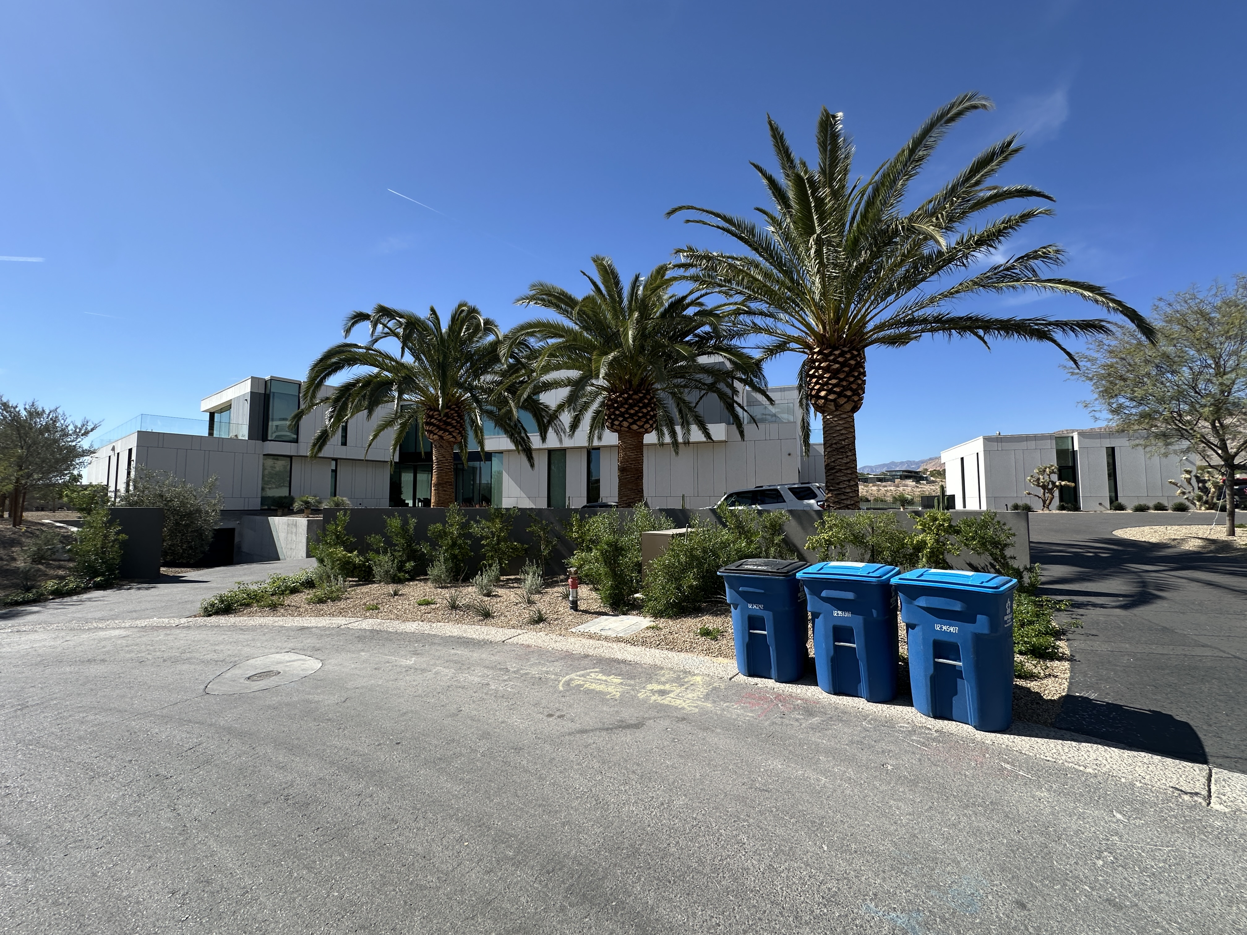
Diamondback Land Surveying Crews conducted a comprehensive Boundary and Topographic survey on a designated portion of an APN. The fieldwork focused on capturing precise measurements of all relevant structures, roadways, visible ground features, and utility improvements, ensuring sufficient overlap for future engineering design needs. Diamondback Land Surveying also sets panels for drone control over the parcel so that we can conduct drone flights.
Our office services included extensive research and procurement of available record maps and documents, culminating in the creation of a detailed boundary and topographical drawing combining in-field topo shots with drone data that meets industry standards and client specifications.
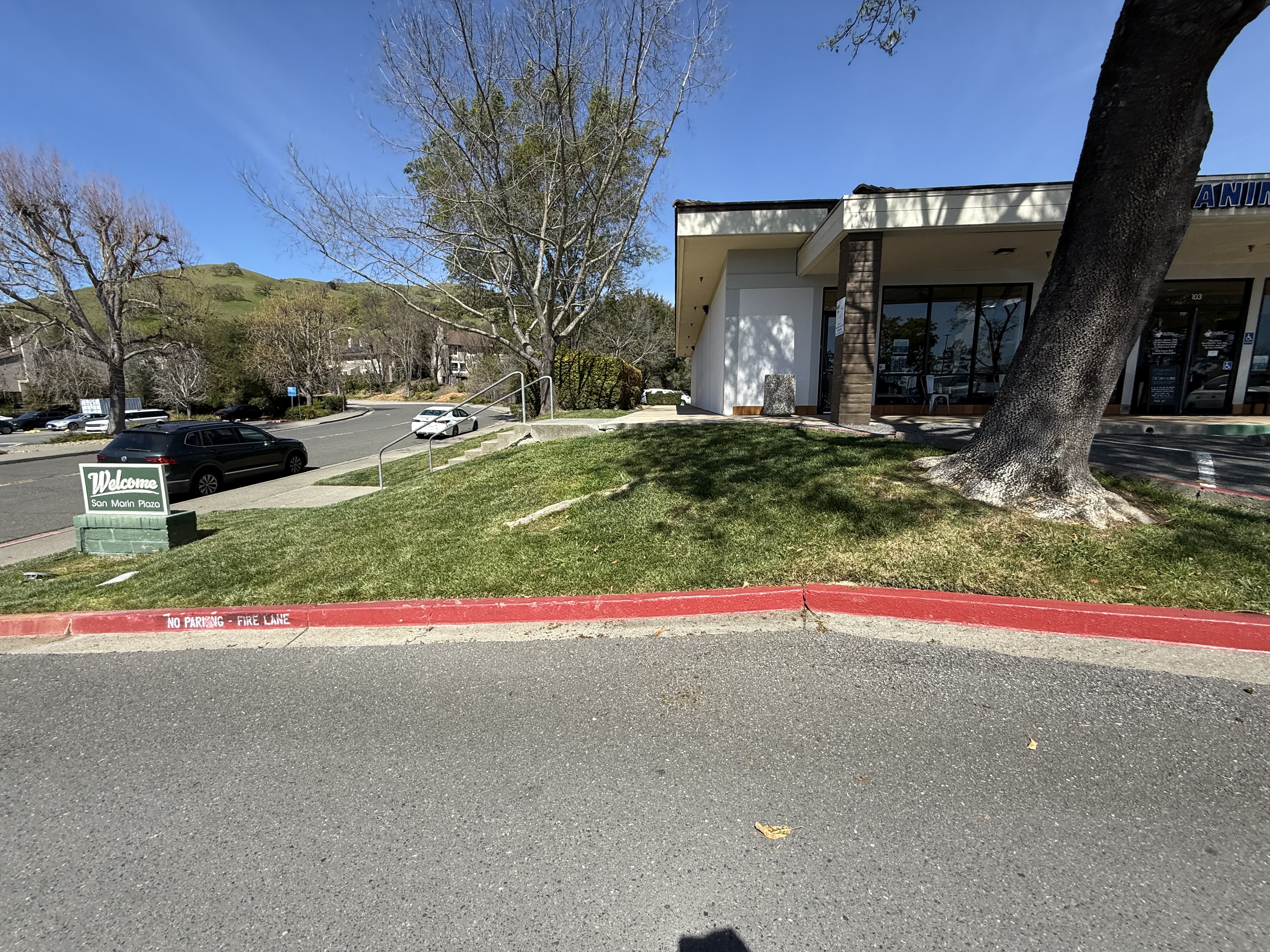
Project: San Marin Dr
Location: Novato, CA
Completion: 2025
Diamondback Land Surveying Crews conducted a comprehensive Boundary and Topographic survey on a designated portion of an APN. The fieldwork focused on capturing precise measurements of all relevant structures, roadways, visible ground features, and utility improvements, ensuring sufficient overlap for future engineering design needs. Diamondback Land Surveying also sets panels for drone control over the parcel so that we can conduct drone flights.
Our office services included extensive research and procurement of available record maps and documents, culminating in creating a detailed boundary drawing combined with drone data that meets industry standards and client specifications. Diamondback Land surveying also created a new one lot—amended Final Map to merge 6 Eagles Landing and 8 Eagles Landing.
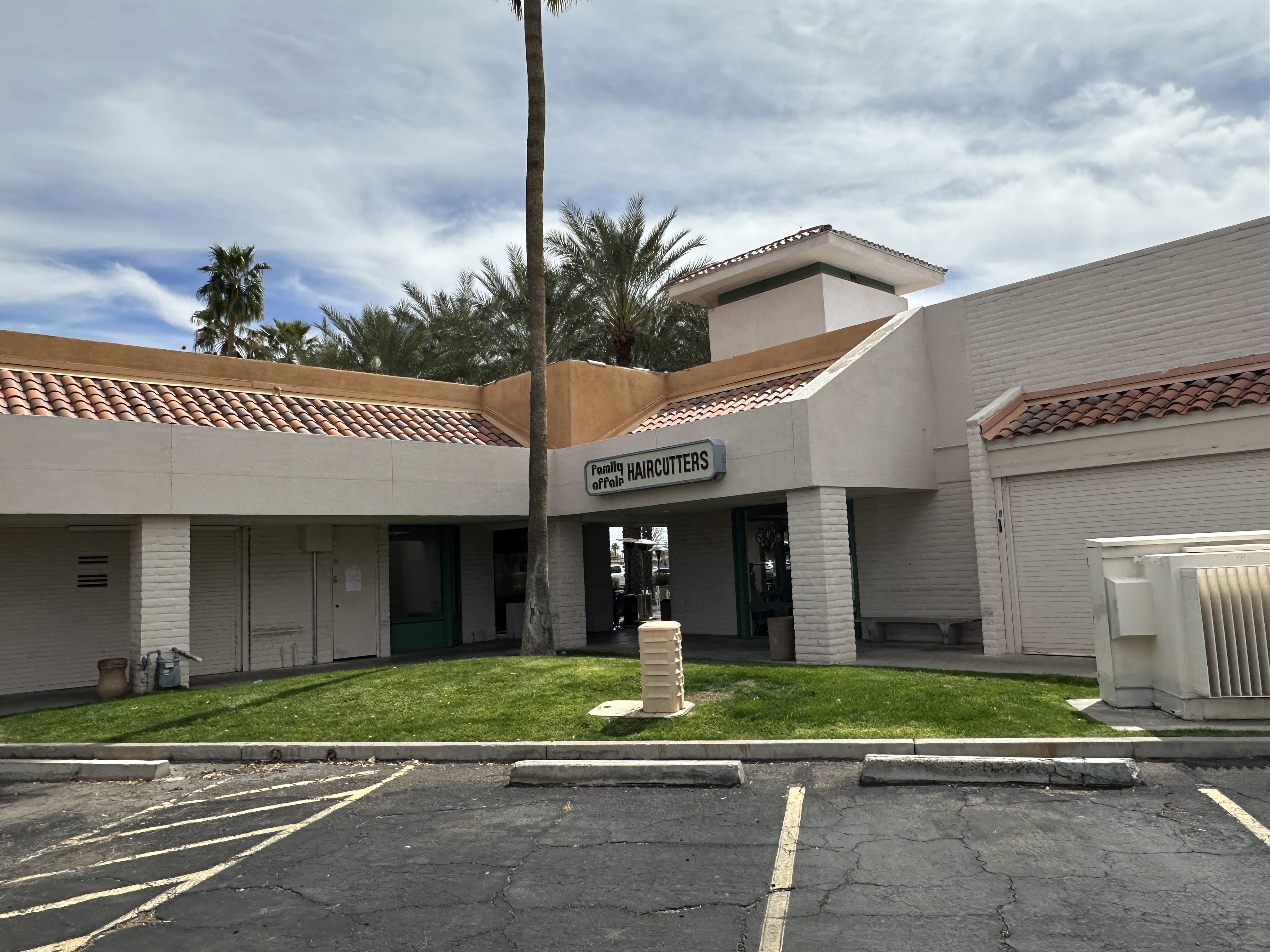
Project: Hayden Rd
Location: Scottsdale, AZ
Completion: 2025
Diamondback Land Surveying Crews conducted a comprehensive Boundary and Topographic survey on a designated portion of an APN. The fieldwork focused on capturing precise measurements of all relevant structures, roadways, visible ground features, and utility improvements, ensuring sufficient overlap for future engineering design needs. Diamondback Land Surveying also sets panels for drone control over the parcel so that we can conduct drone flights.
Our office services included extensive research and procurement of available record maps and documents, culminating in the creation of a detailed boundary and topographical drawing combining in-field topo shots with drone data that meets industry standards and client specifications.