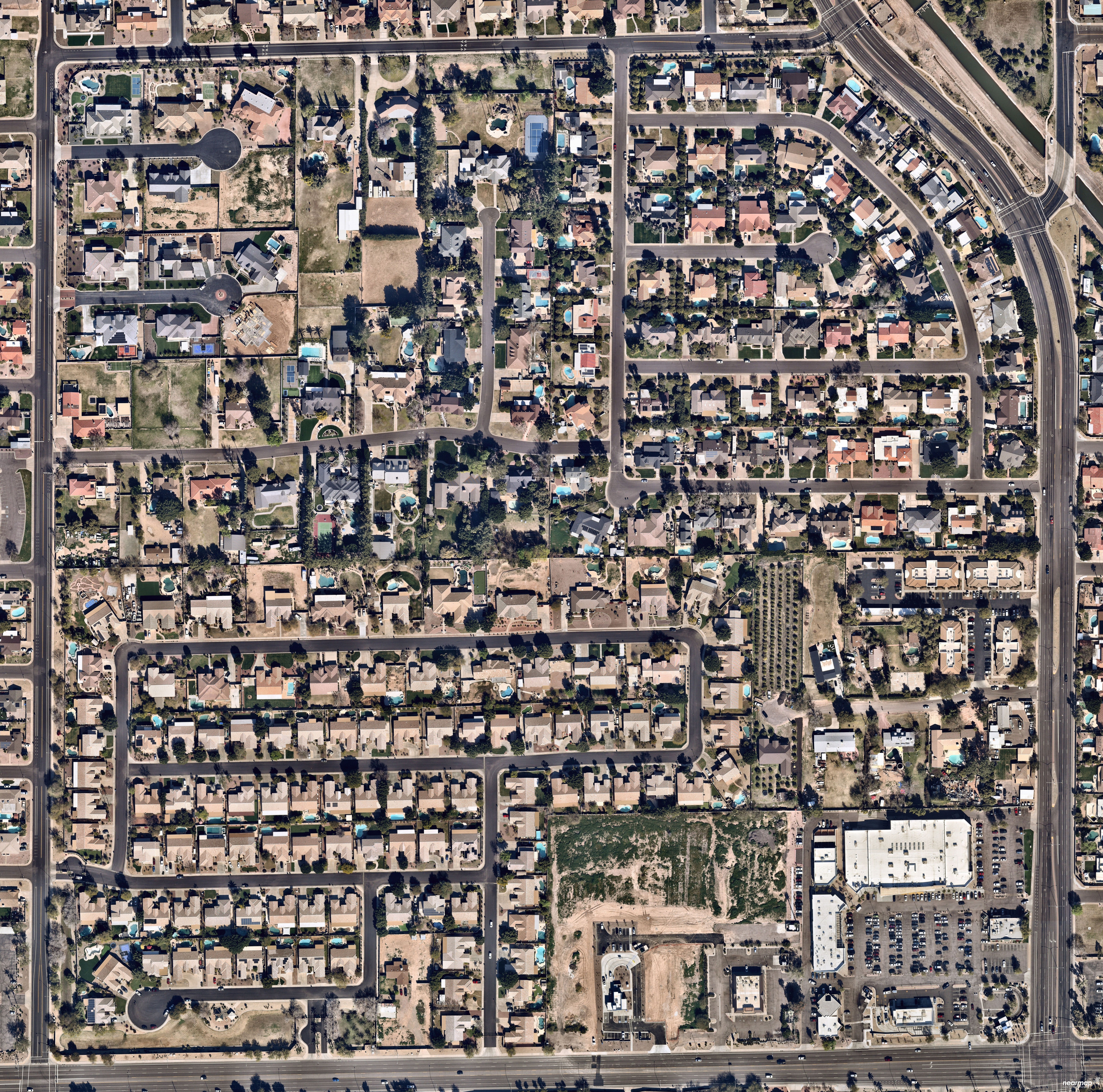
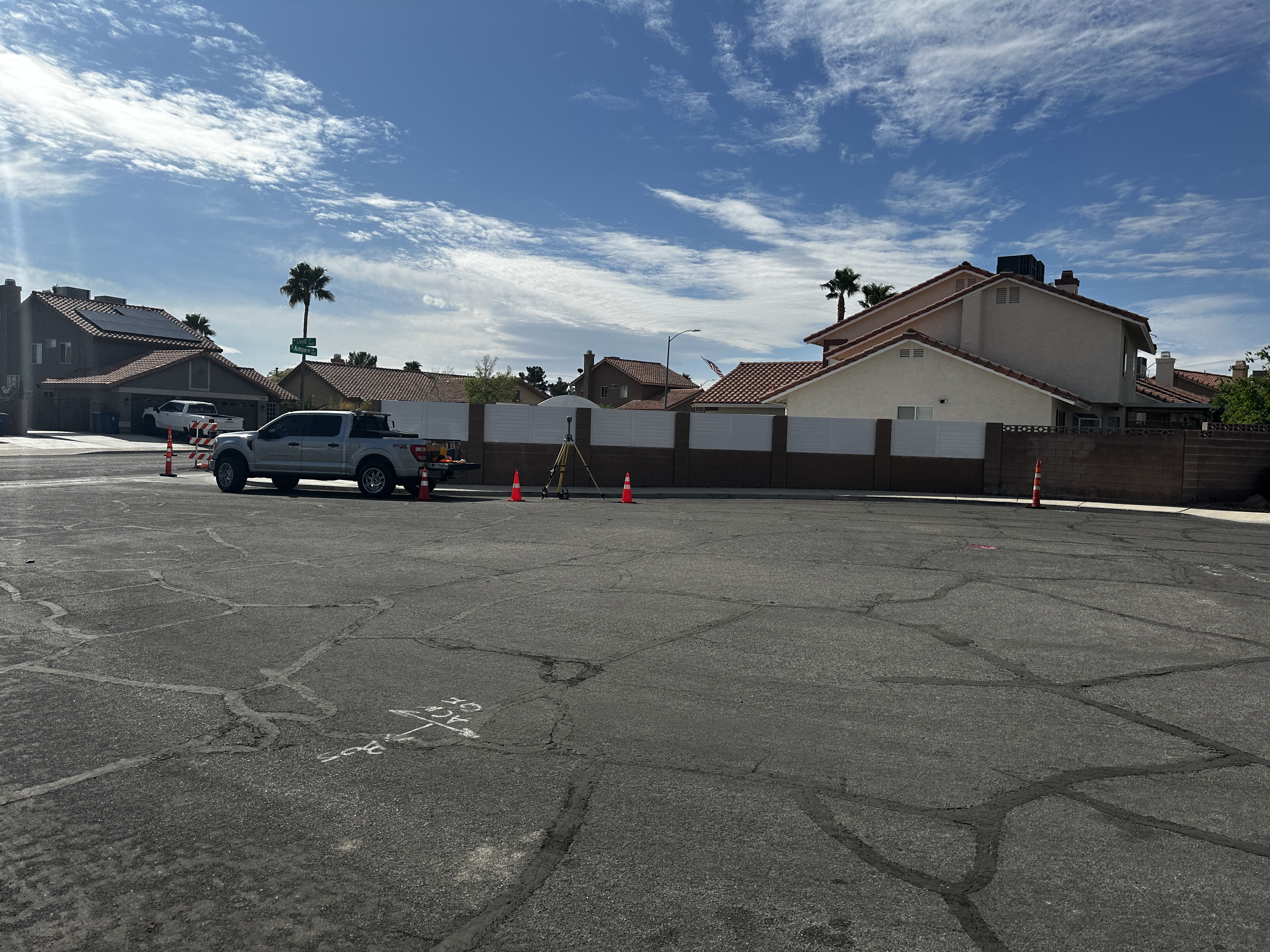
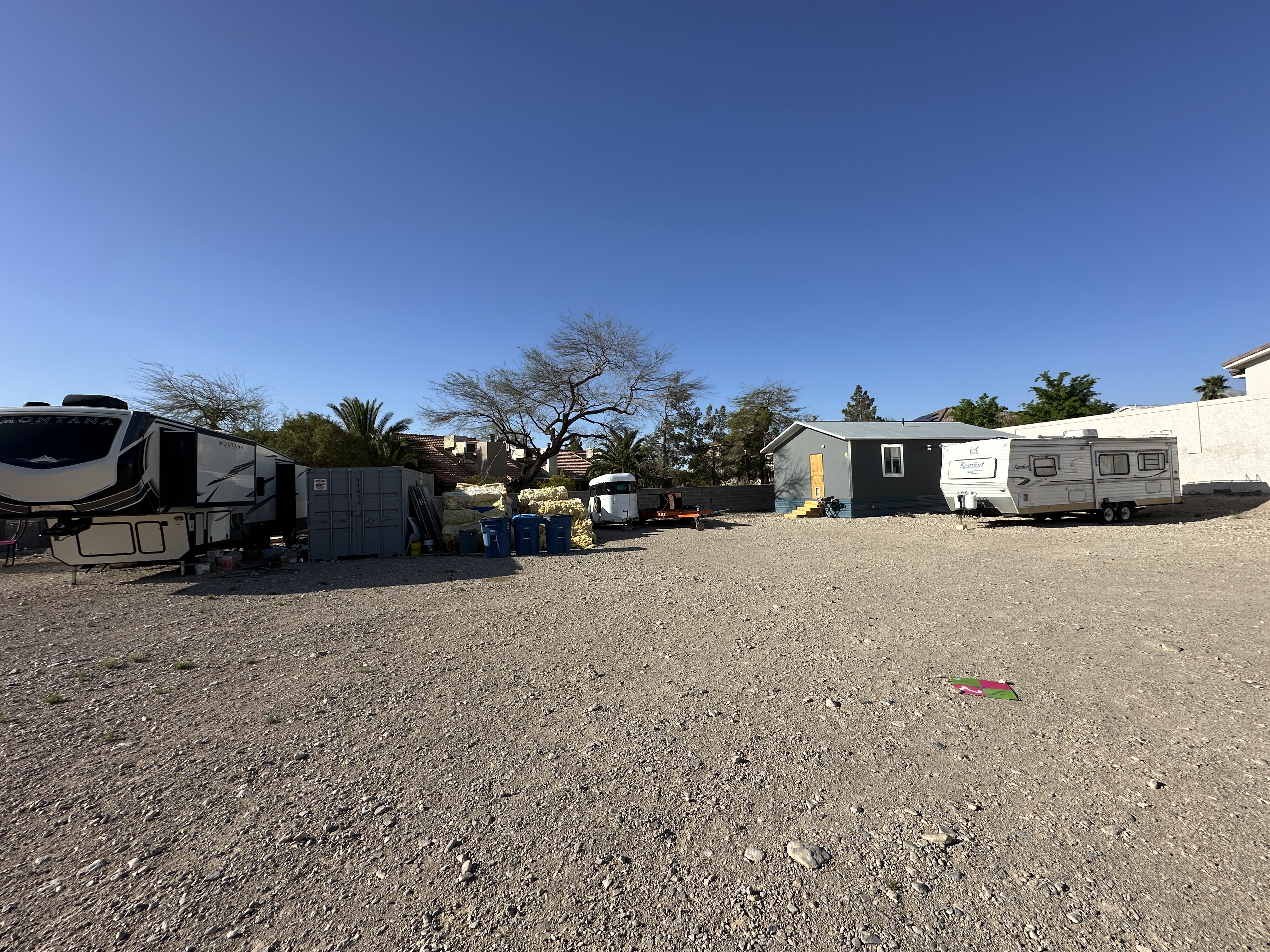
Diamondback Land Surveying conducted a comprehensive boundary and topographical survey on a 0.52-acre parcel of land. Our fieldwork involved establishing precise boundary control for the site and ensuring accurate delineation of property lines. During the topographical survey, we meticulously captured all critical site features, including structures, roadways, ground characteristics, and utility improvements, with the necessary overlap to support detailed engineering and design work.
In addition to fieldwork, our office services included thorough research and acquisition of relevant record maps and documents. We processed the collected field data to produce detailed boundary and topographical base drawings, providing a reliable foundation for future project planning and development.
Project: 8694 Lloyd Court
Location: Las Vegas, NV
Completion: 2025
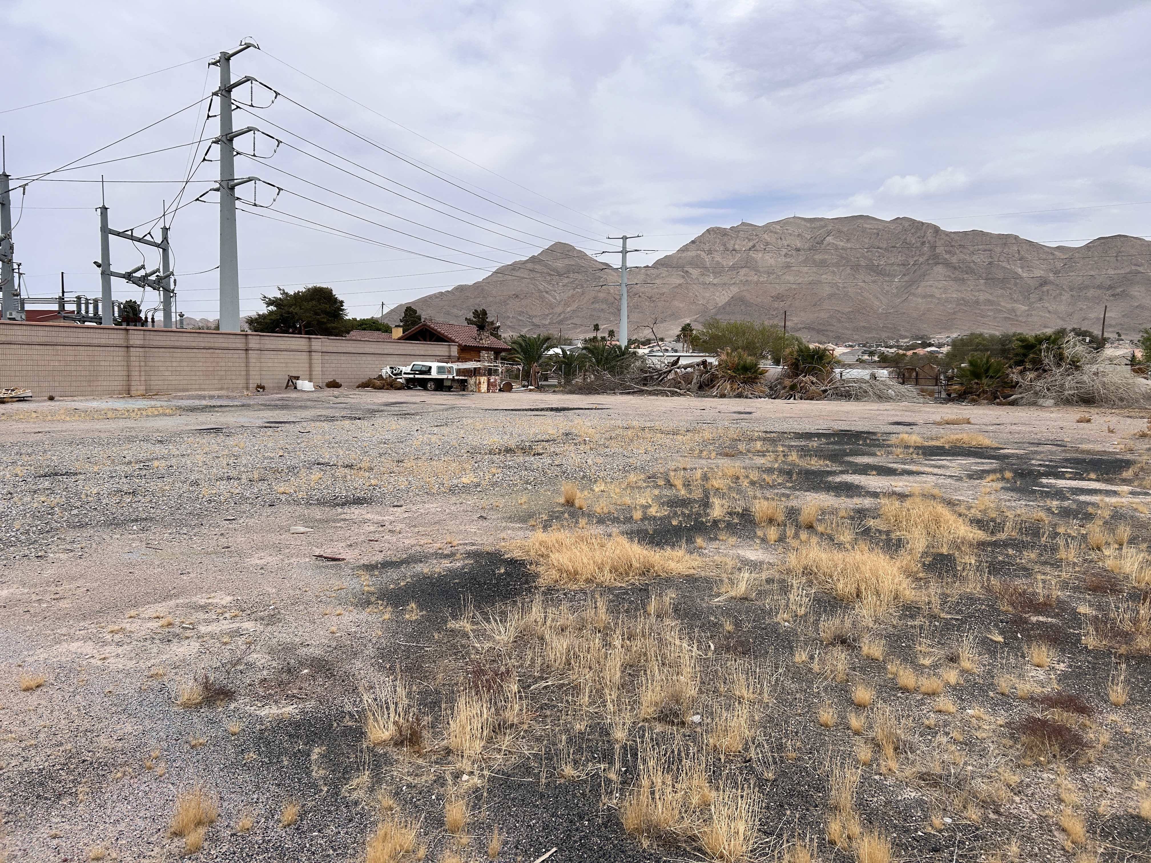
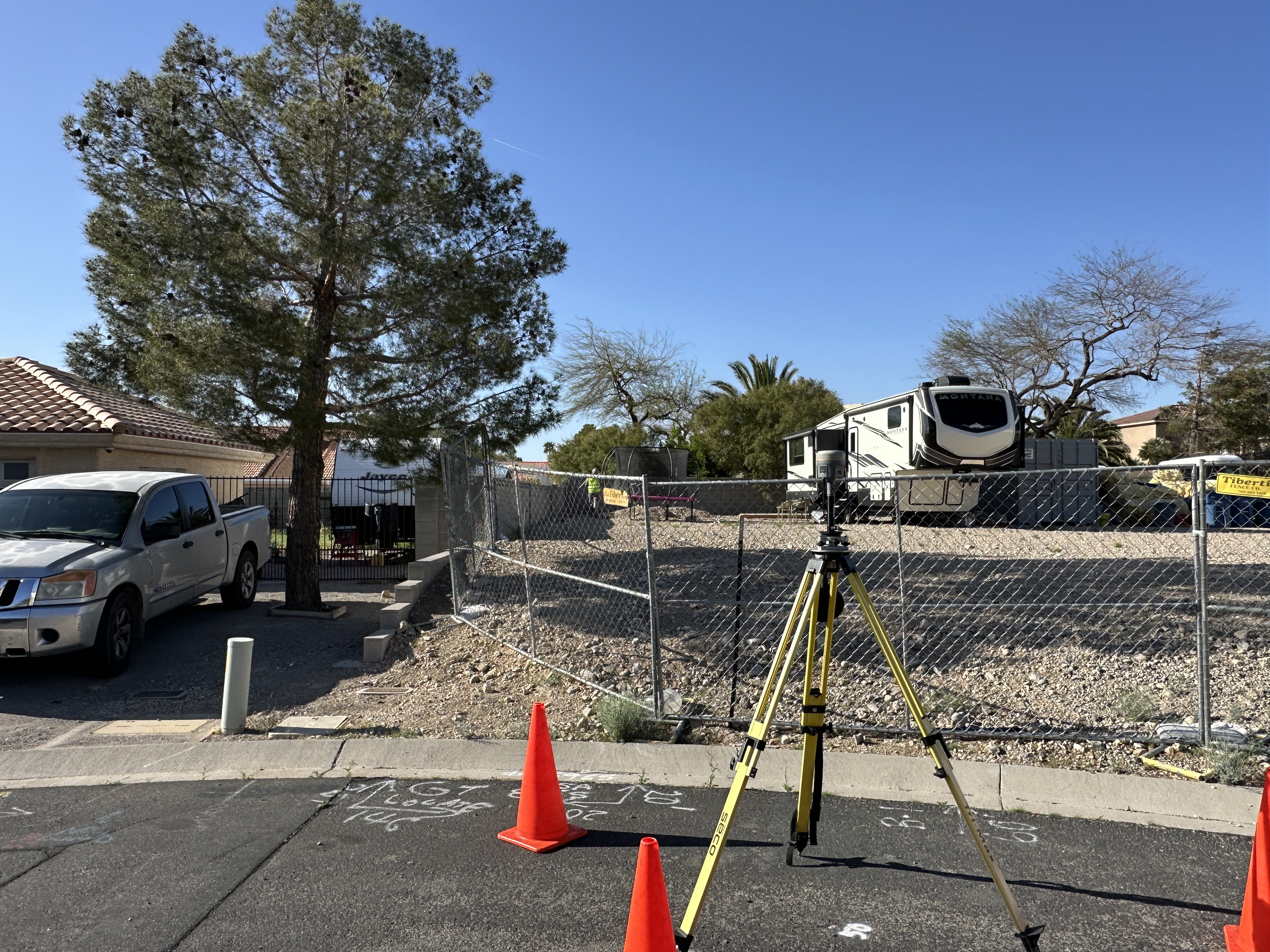
Diamondback Land Surveying conducted a comprehensive boundary and topographical survey on a 0.25-acre parcel of land. Our fieldwork involved establishing precise boundary control for the site and ensuring accurate delineation of property lines. During the topographical survey, we meticulously captured all critical site features, including structures, roadways, ground characteristics, and utility improvements, with the necessary overlap to support detailed engineering and design work.
In addition to fieldwork, our office services included thorough research and acquisition of relevant record maps and documents. We processed the collected field data to produce detailed boundary and topographical base drawings, providing a reliable foundation for future project planning and development.
Project: North Sloan
Location: Las Vegas, NV
Completion: 2025
Diamondback Land Surveying conducted a comprehensive boundary and topographical survey on a 0.93-acre parcel of land. Our fieldwork involved establishing precise boundary control for the site and ensuring accurate delineation of property lines. During the topographical survey, we meticulously captured all critical site features, including structures, roadways, ground characteristics, and utility improvements, with the necessary overlap to support detailed engineering and design work.
In addition to fieldwork, our office services included thorough research and acquisition of relevant record maps and documents. We processed the collected field data to produce a detailed one-lot parcel map per entity requirements and processed the map through recordation.
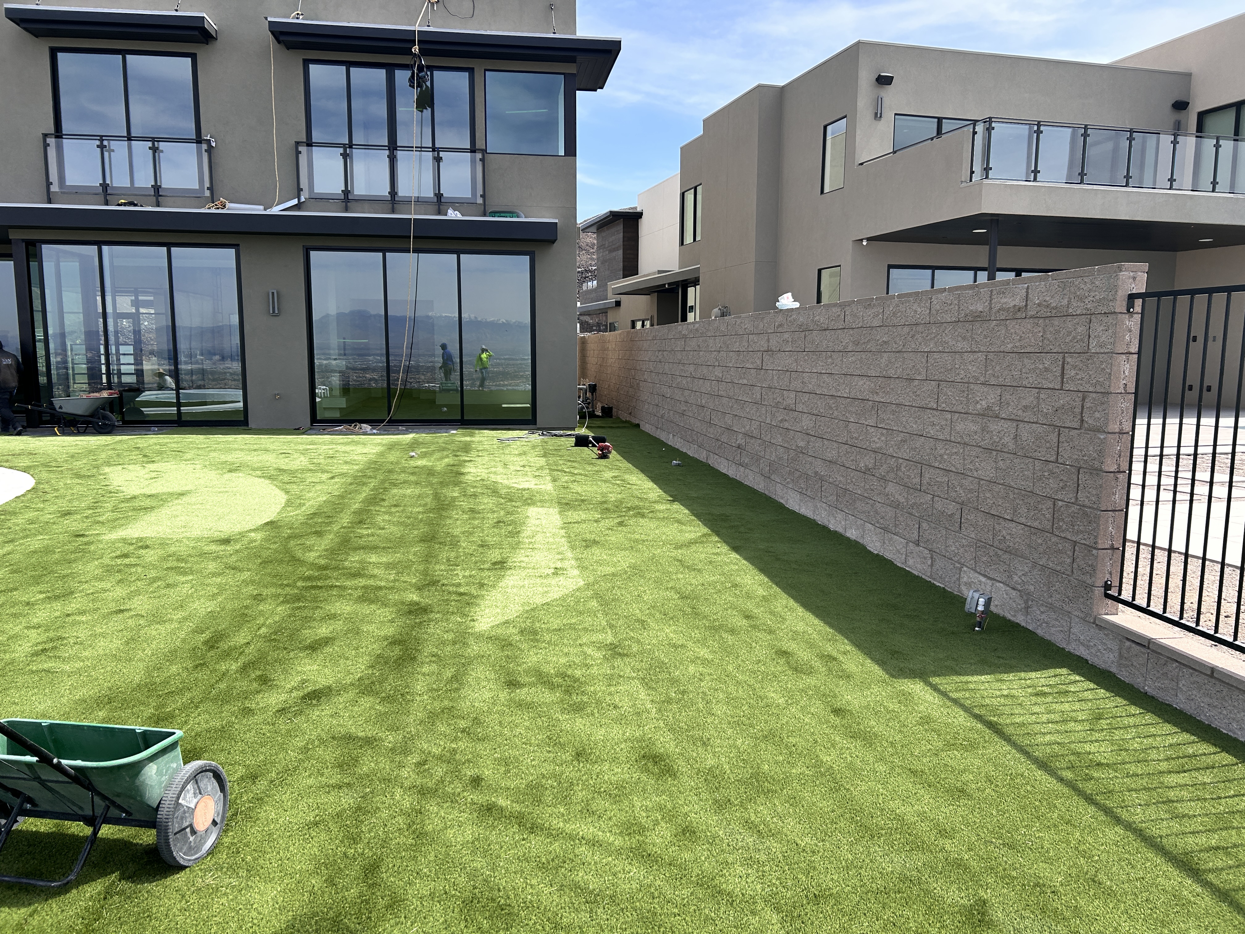
Project: N. Campbell Road
Location: Las Vegas, NV
Completion: 2025
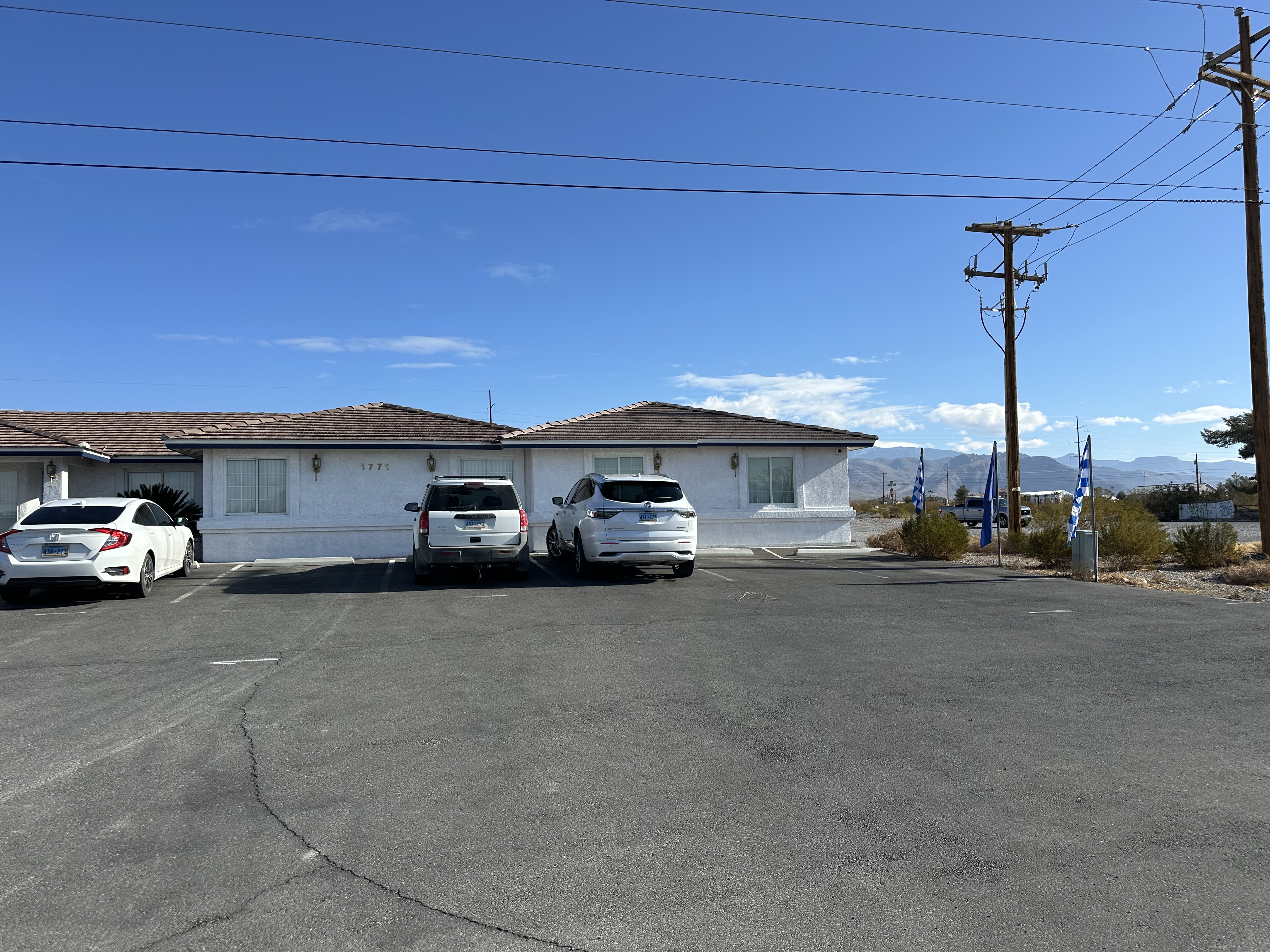
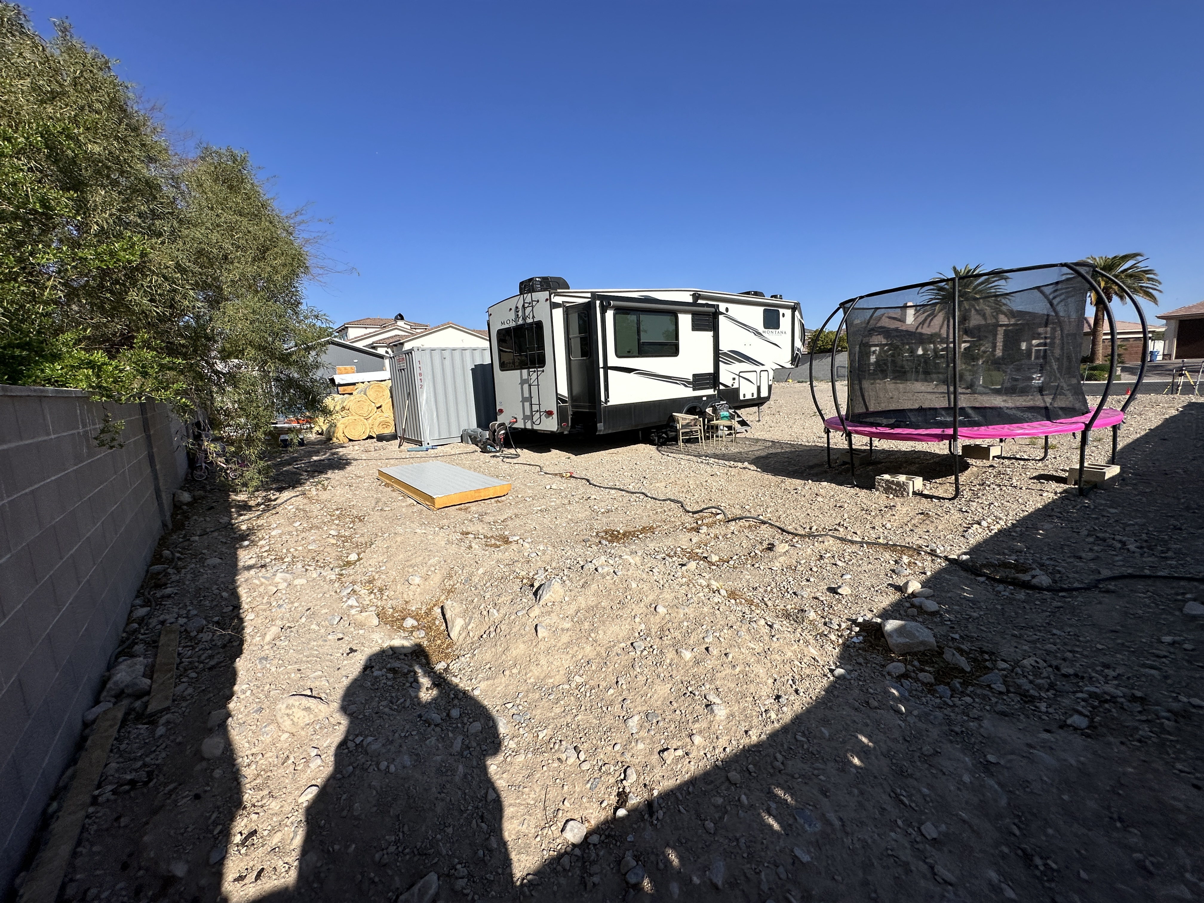
Diamondback Land Surveying conducted a comprehensive boundary and topographical survey on a 0.51-acre parcel of land. Our fieldwork involved establishing precise boundary control for the site and ensuring accurate delineation of property lines. During the topographical survey, we meticulously captured all critical site features, including structures, roadways, ground characteristics, and utility improvements, with the necessary overlap to support detailed engineering and design work for a casita in the backyard.
In addition to fieldwork, our office services included thorough research and acquisition of relevant record maps and documents. We processed the collected field data to produce detailed boundary and topographical base drawings, providing a reliable foundation for future project planning and development.
Project: Mystic Rim Drive
Location: Henderson, NV
Completion: 2025
Diamondback Land Surveying conducted a comprehensive boundary and topographical survey on a 0.34-acre parcel of land. Our fieldwork involved establishing precise boundary control for the site and ensuring accurate delineation of property lines. During the topographical survey, we meticulously captured all critical site features, including structures, roadways, ground characteristics, and utility improvements, with the necessary overlap to support detailed engineering and design work.
In addition to fieldwork, our office services included thorough research and acquisition of relevant record maps and documents. We processed the collected field data to produce detailed boundary and topographical base drawings, providing a reliable foundation for future project planning and development.