Project: Crusader Avenue
Location: Cerritos, CA
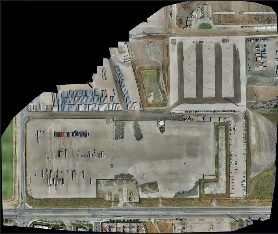
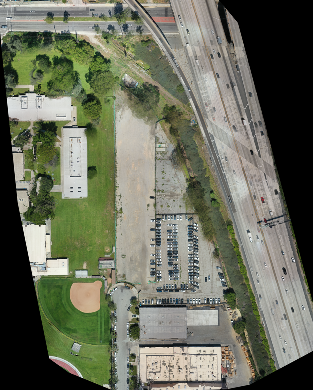
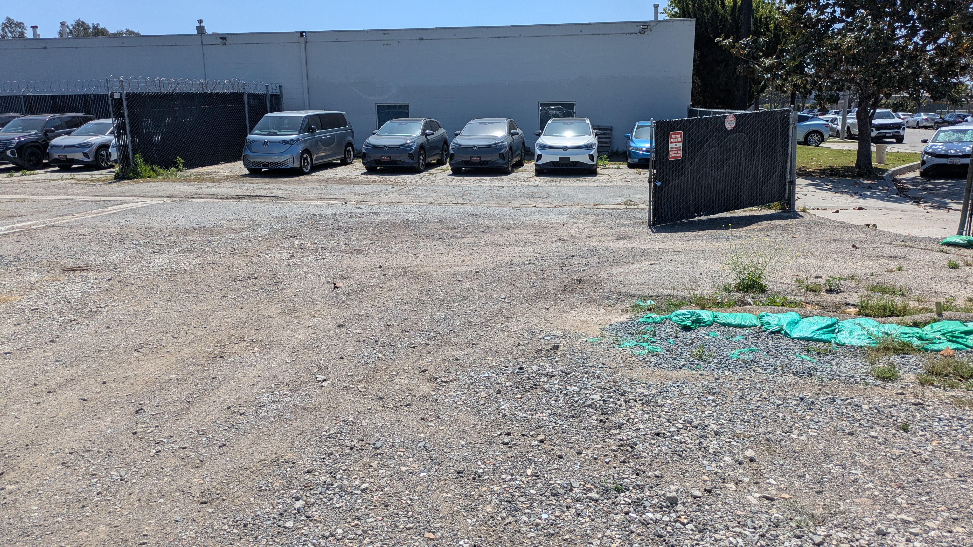
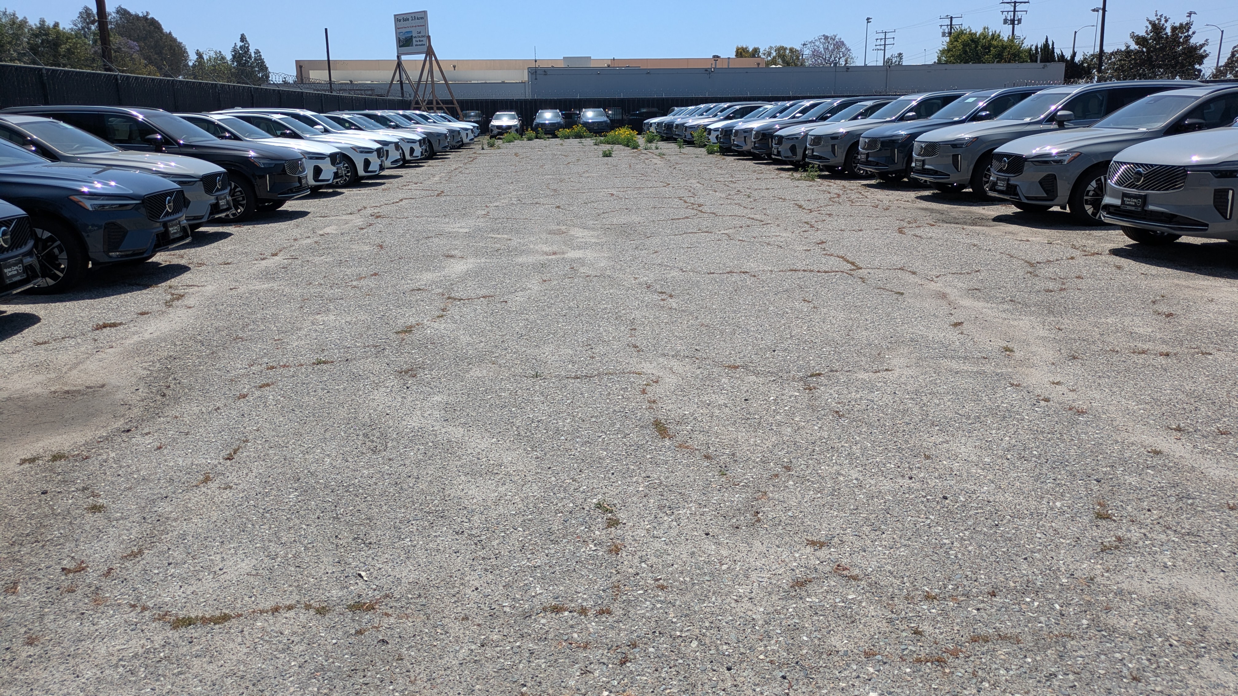
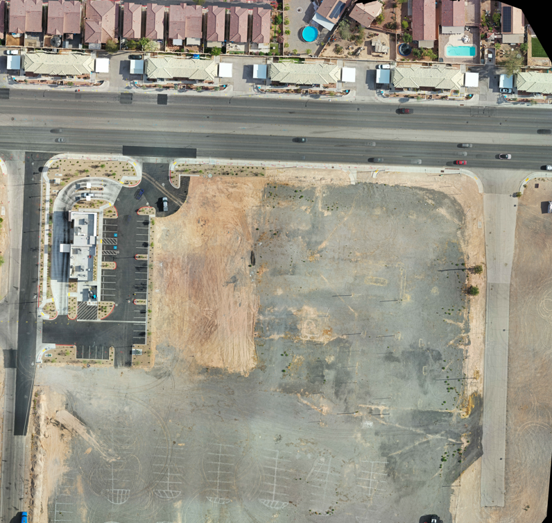
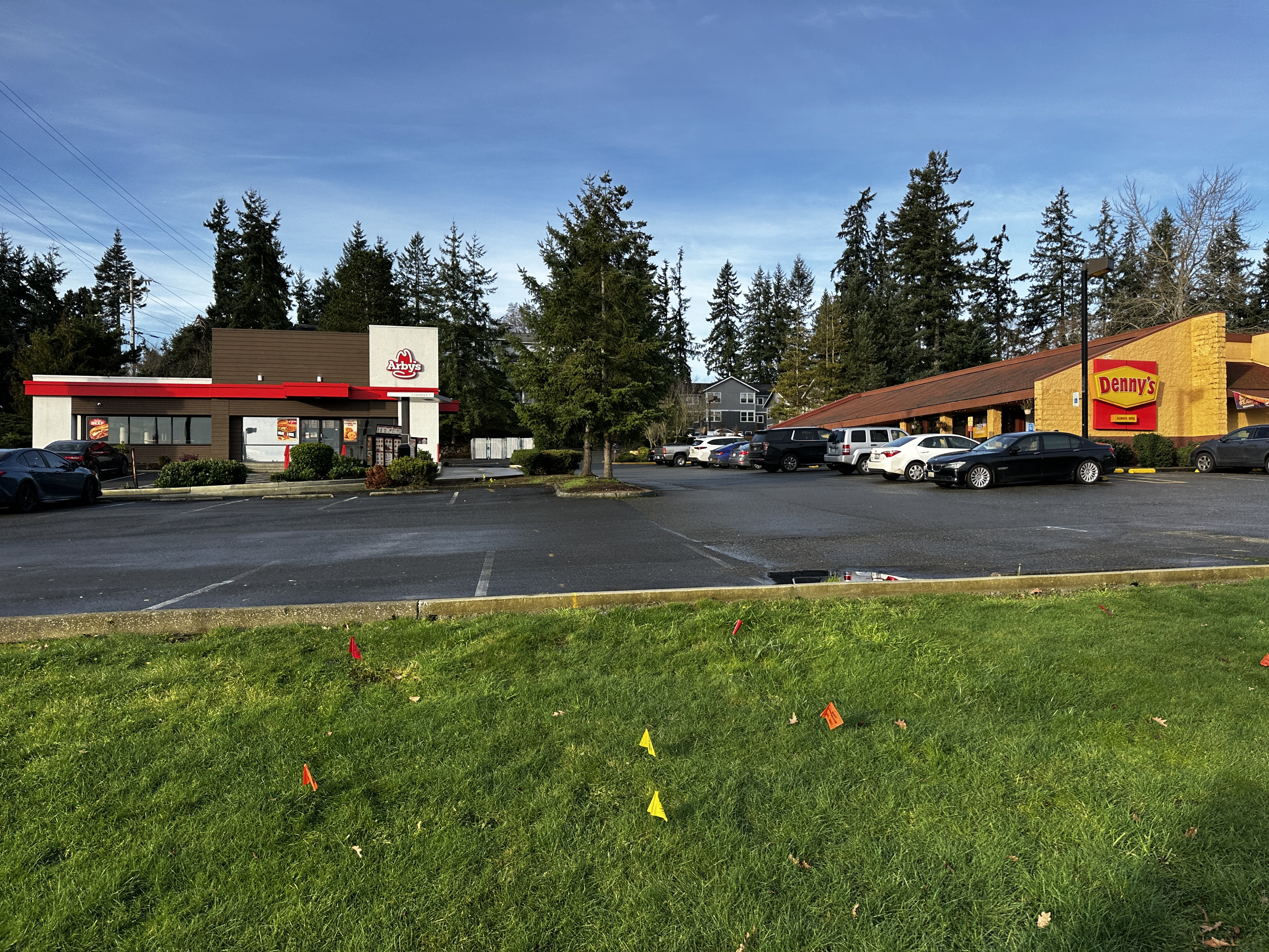
Diamondback Land Surveying provided comprehensive ALTA/NSPS Land Title Survey, Topographic Survey, and Tree Survey services for a commercial development site encompassing approximately 3.93 acres.
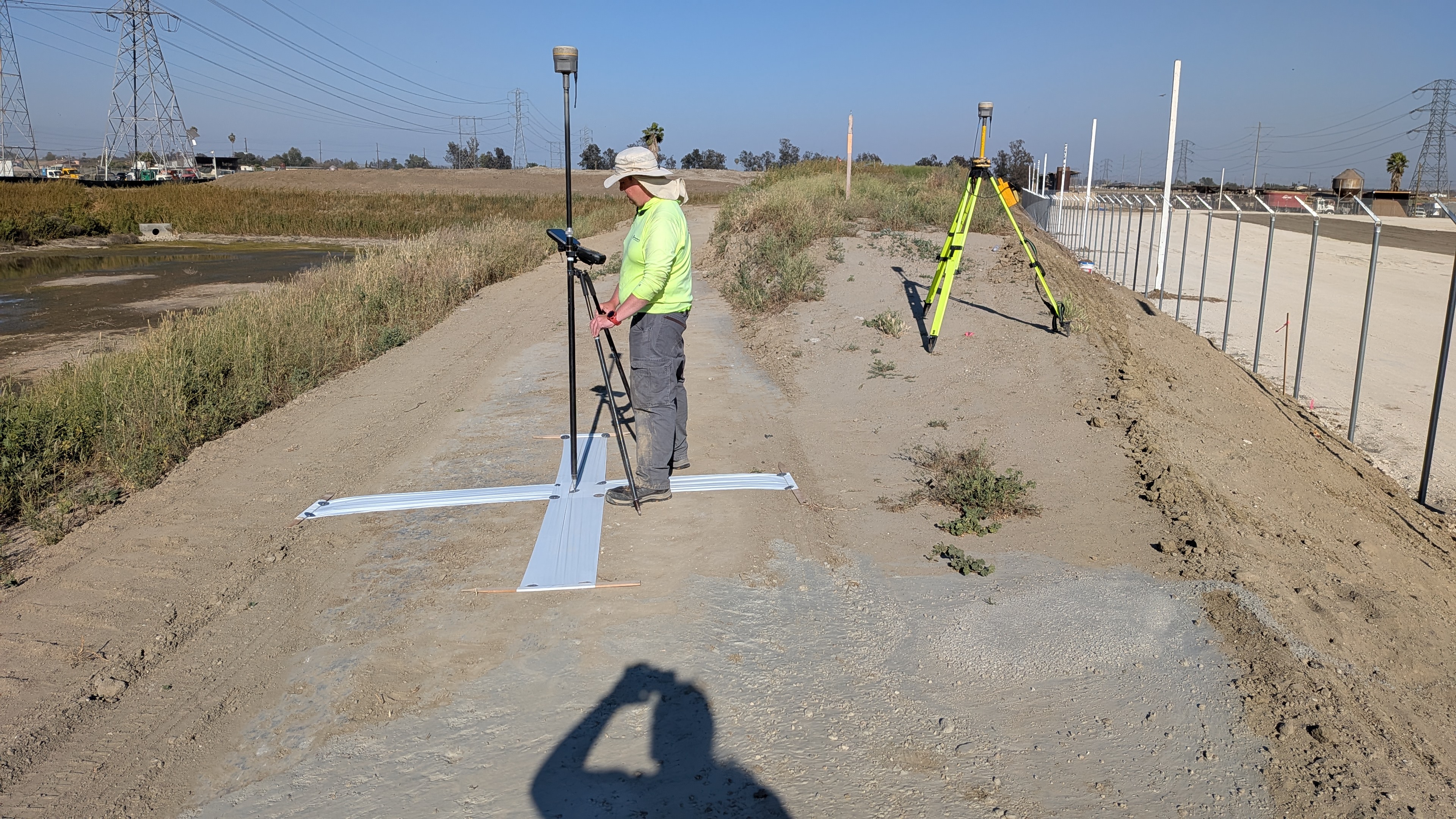
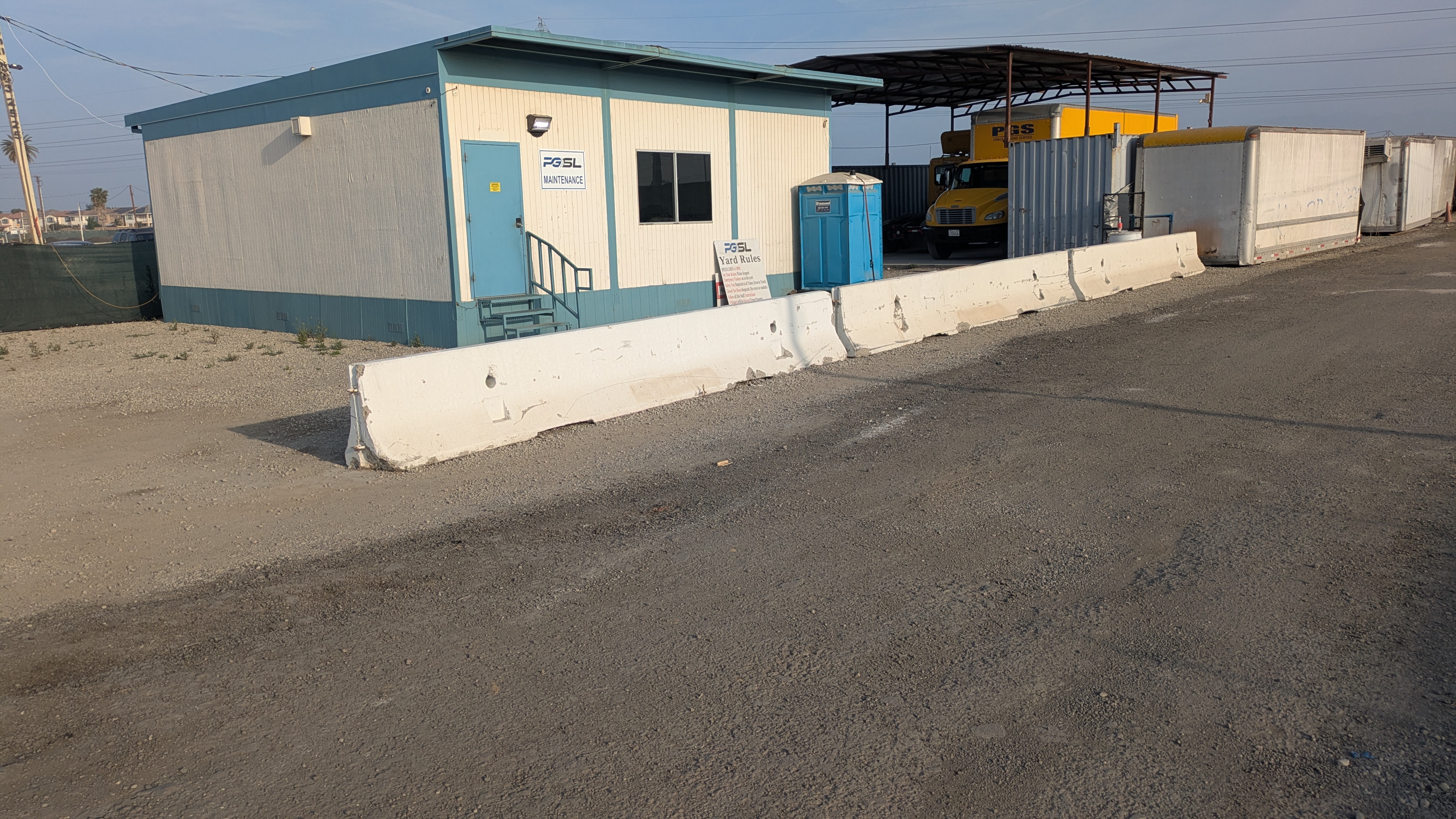
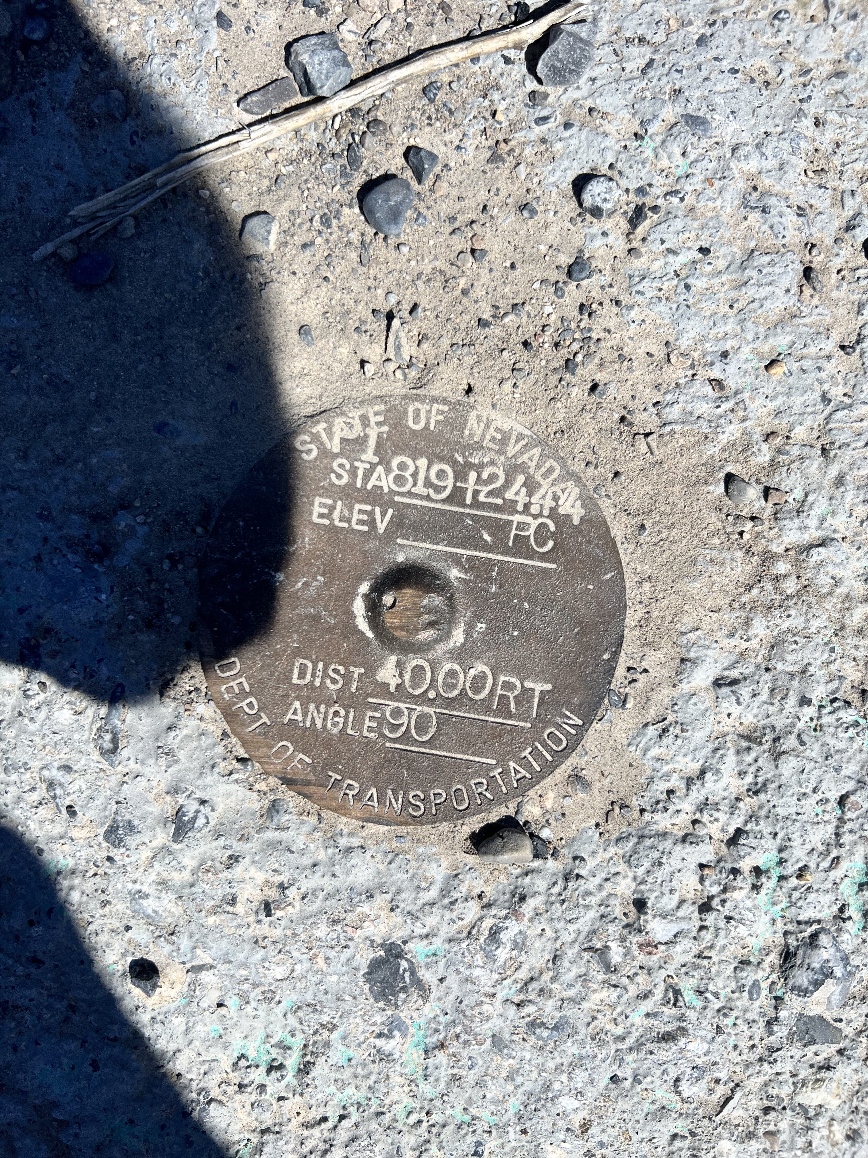
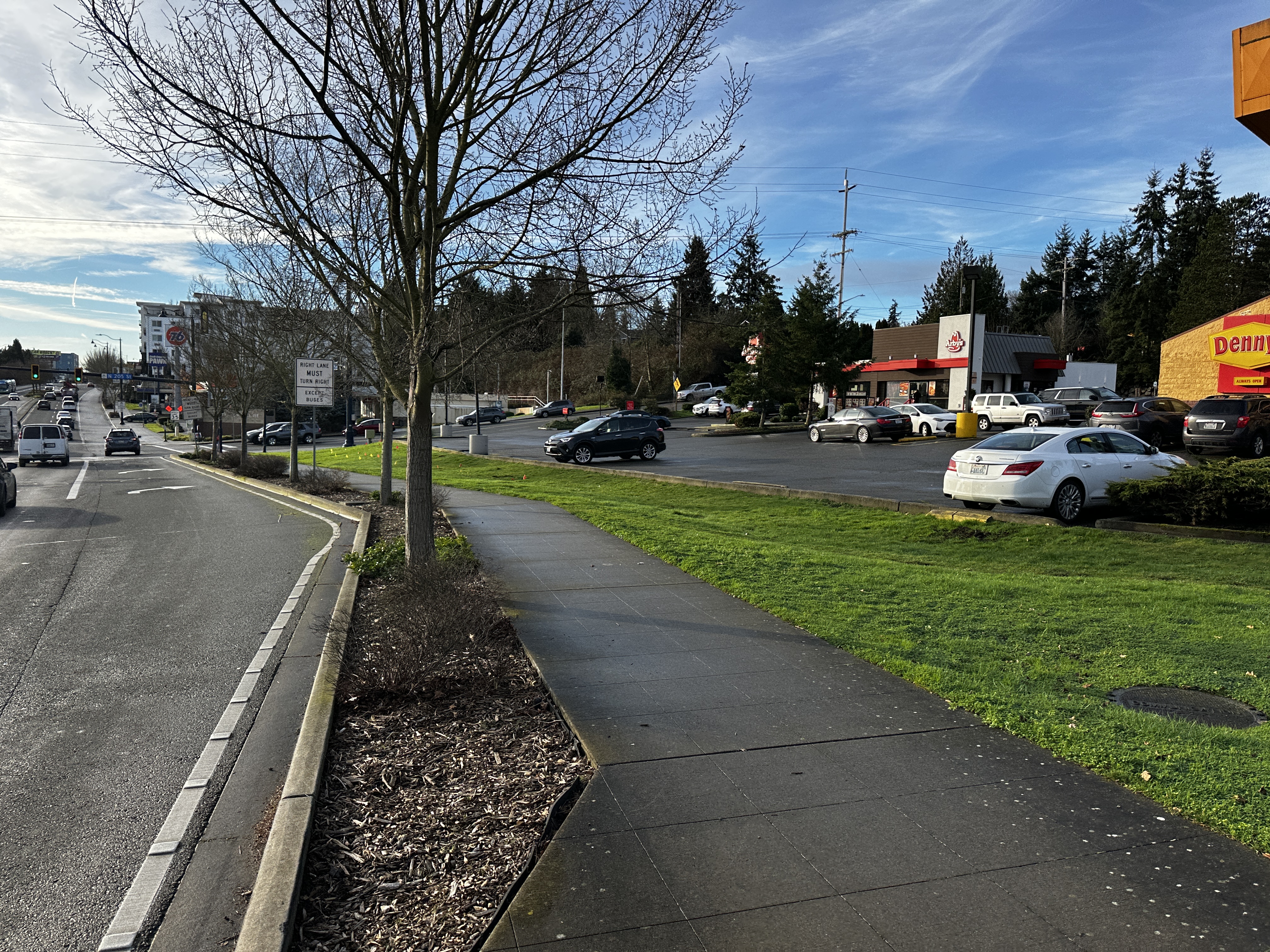
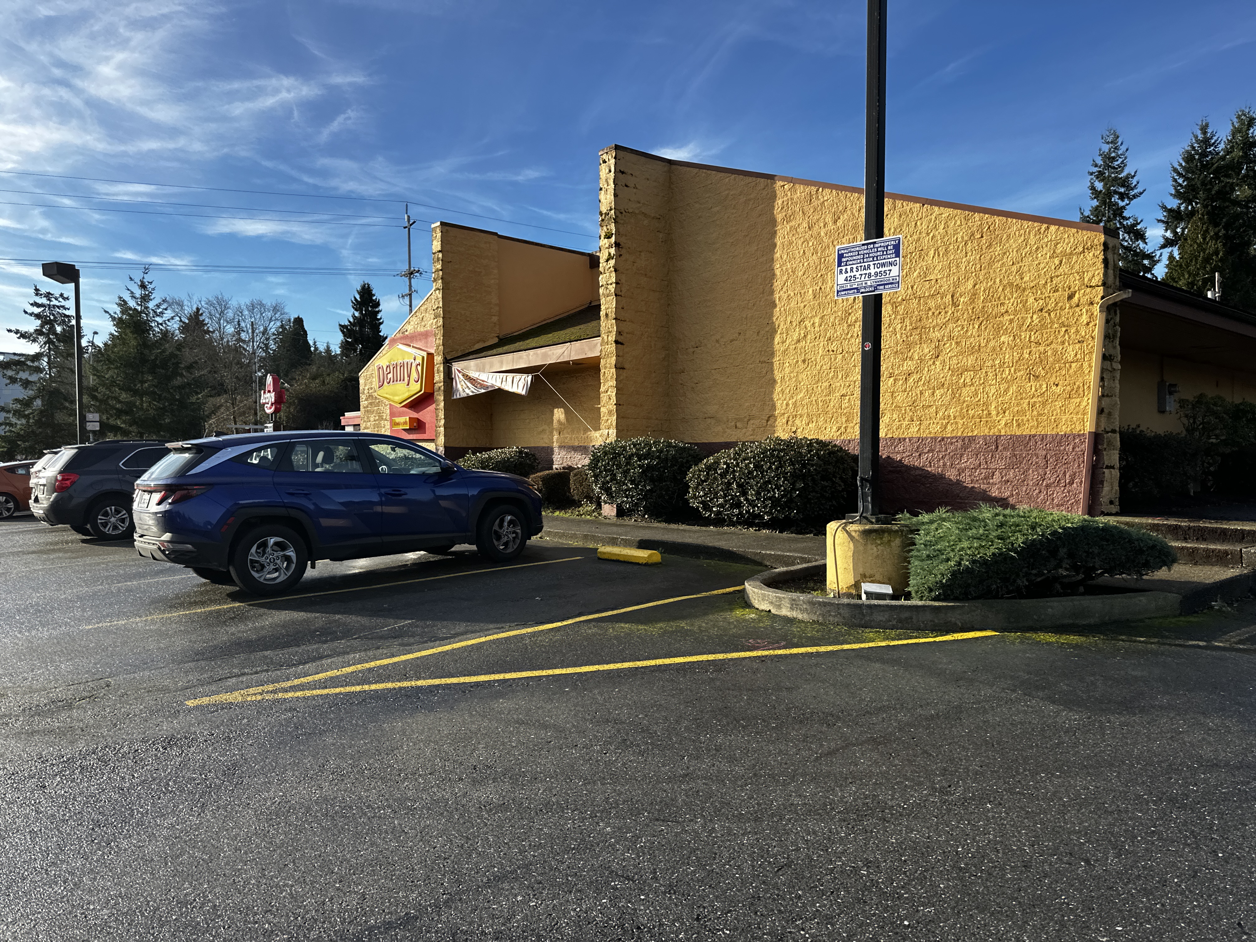
Field survey operations included establishing boundary control and collecting detailed topographic data throughout the project area and surrounding properties. Survey crews obtained accurate measurements of existing structures, roadways, visible utilities, and ground features with approximately 50 feet of overlap beyond the property limits to support future engineering and site development design.
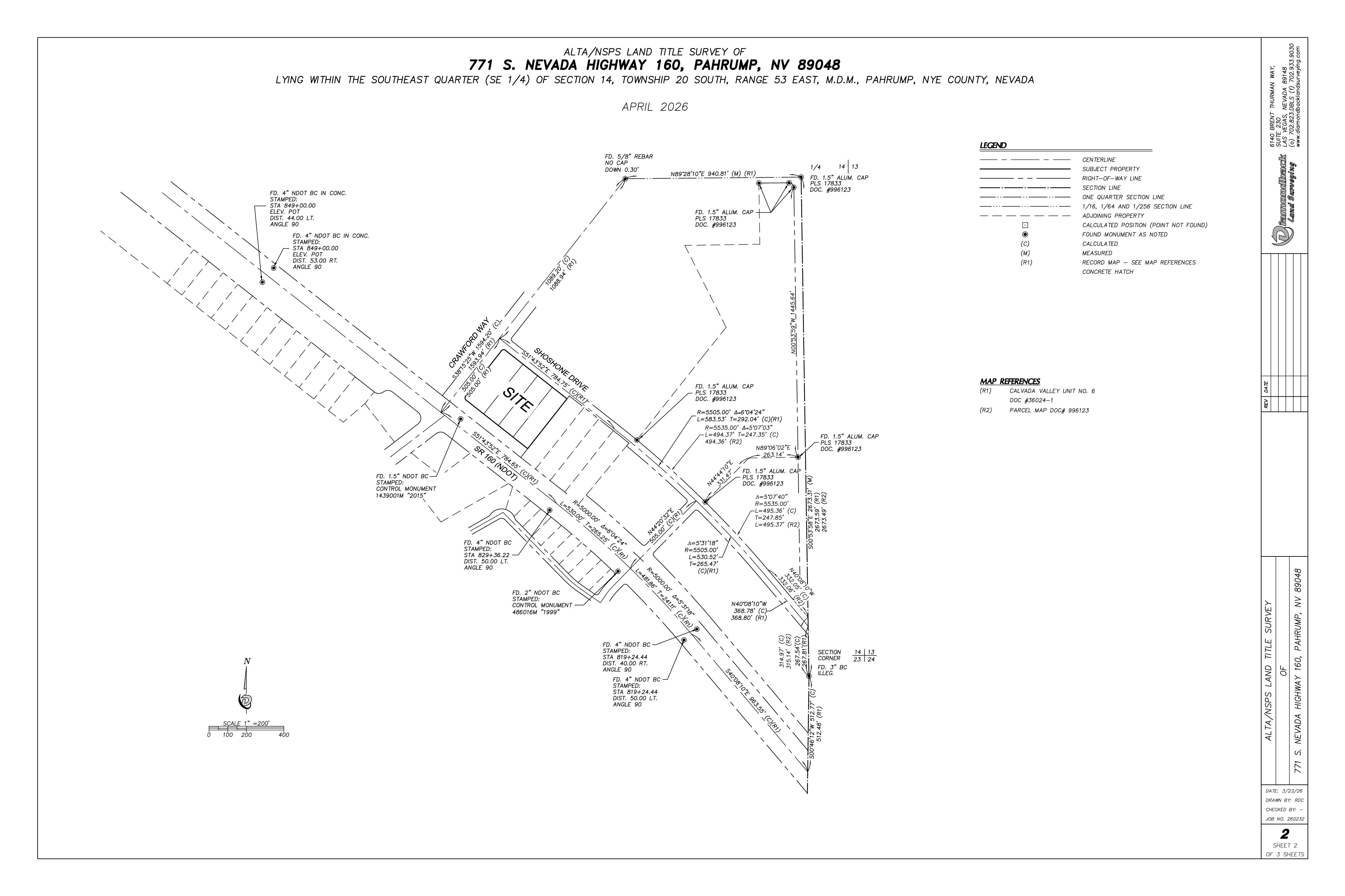
As part of the project, Diamondback Land Surveying completed an ALTA/NSPS Land Title Survey in accordance with the 2021 ALTA/NSPS Minimum Standard Detail Requirements, incorporating Table A Items 2, 3, 4, 5, 6(a), 7(a), 7(b)(1), 8, 9, 11(a), 13, 14, 16, 17, 18, and 19. The survey included title commitment review, boundary analysis, utility coordination, and documentation of easements and record information affecting the property.
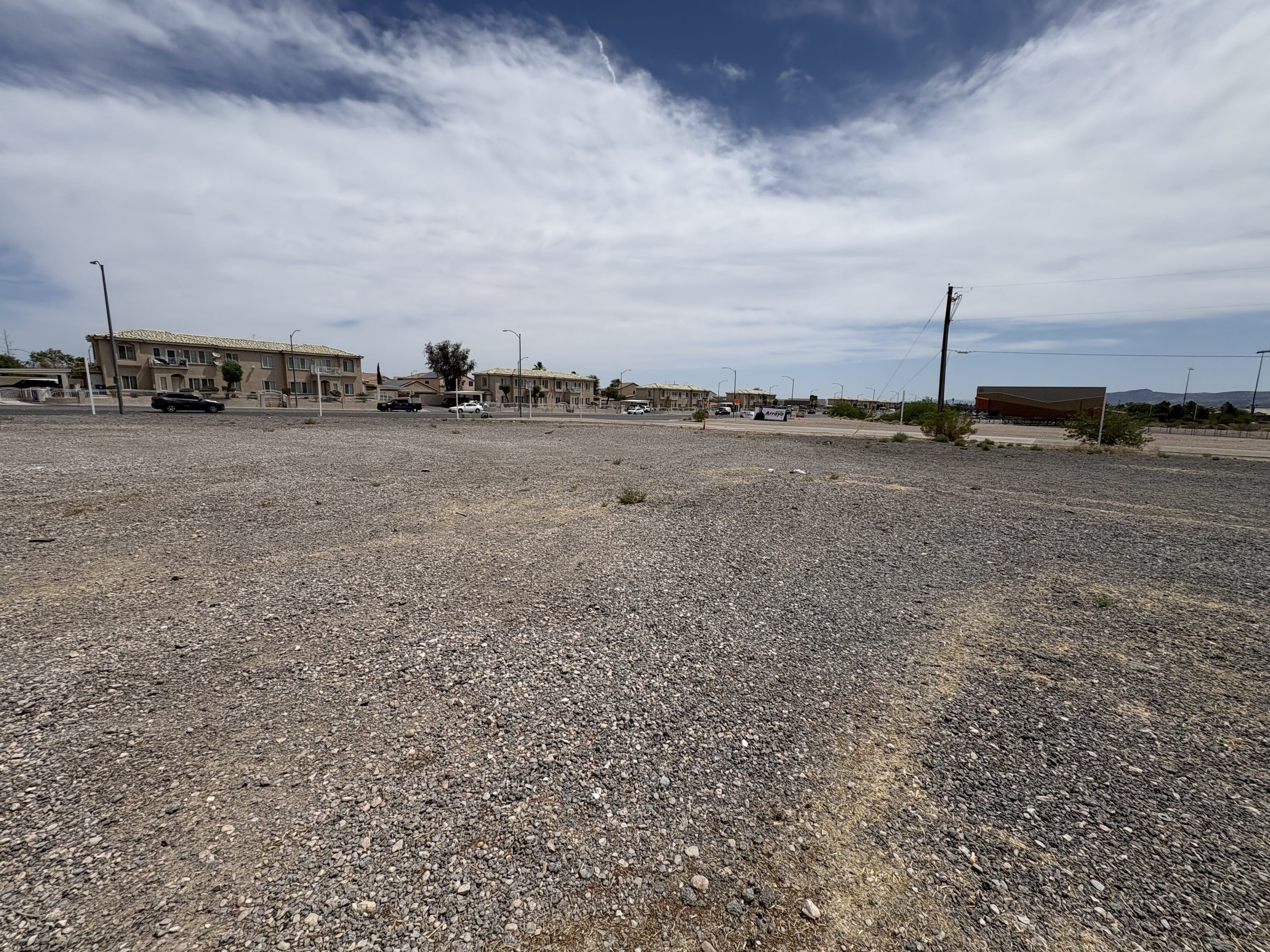
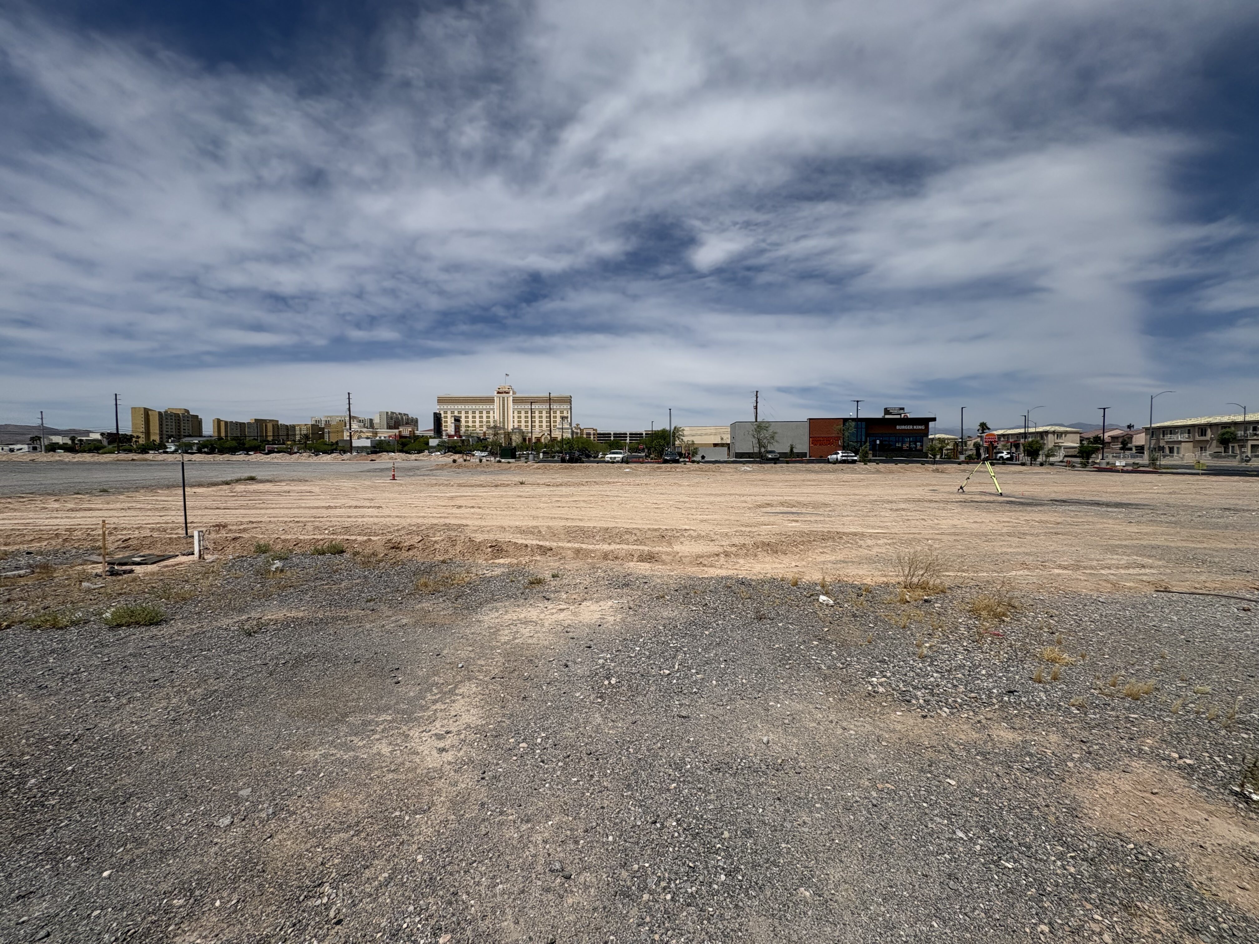
Topographic survey services documented all pertinent site improvements and existing conditions within the project limits, including adjacent roadway features and utility infrastructure. In addition, a tree survey was performed to identify and locate all trees measuring four inches in diameter at breast height (DBH) or greater.
Diamondback Land Surveying also provided complete mapping and office services, including research and procurement of available record documents, field data reduction, drafting, and preparation of final survey deliverables. To meet client requirements, the final ALTA package was delivered in a three-sheet format consisting of a full ALTA survey with topographic information, a full ALTA survey without topographic information, and a boundary and easement exhibit.
.